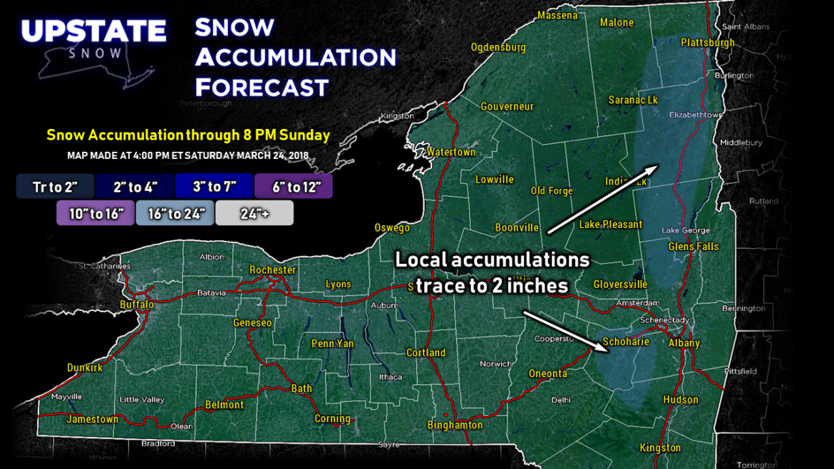
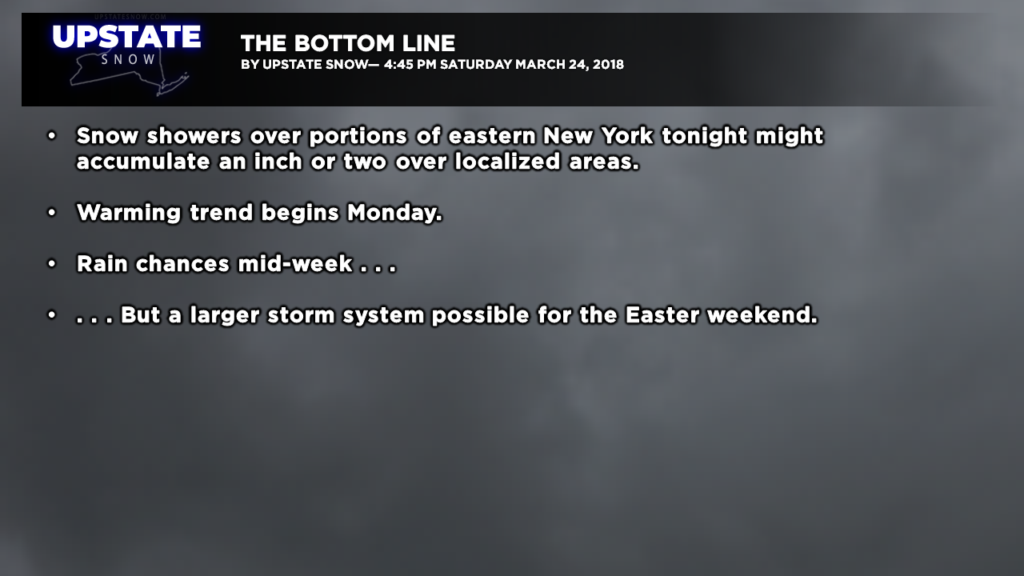
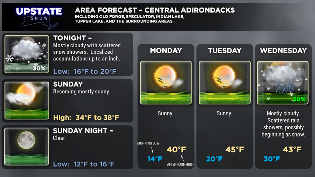
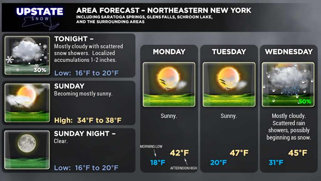
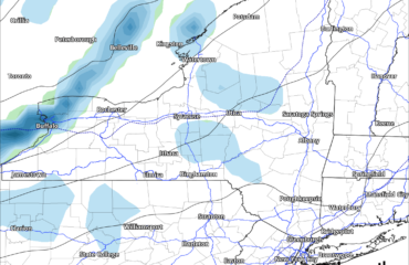
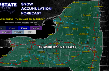
Hi everyone… early report today… there’s just not much at all going on across the state this afternoon. Just some scattered clouds here and there, and a little bit of light snow shower activity primarily between Schroon Lake and Lake Placid. We’re expecting snow showers to continue to drop down from the northeast over eastern New York through tonight, and these could accumulate an inch or two here or there.
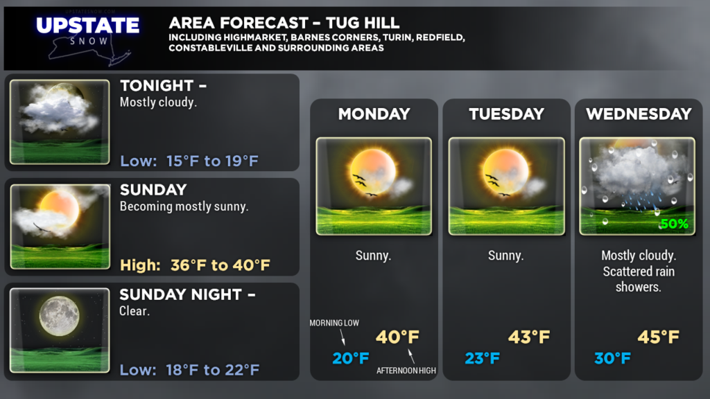
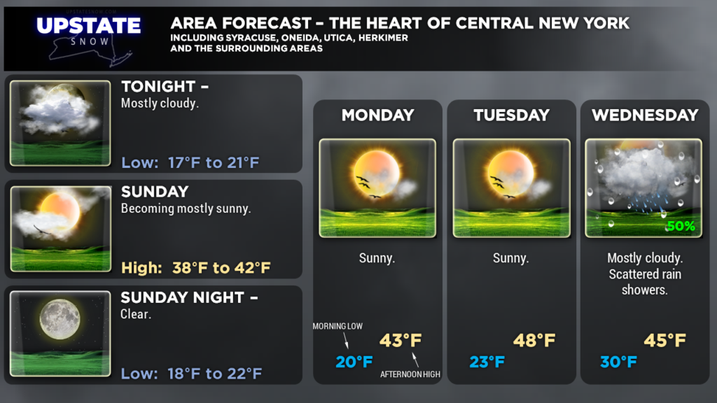
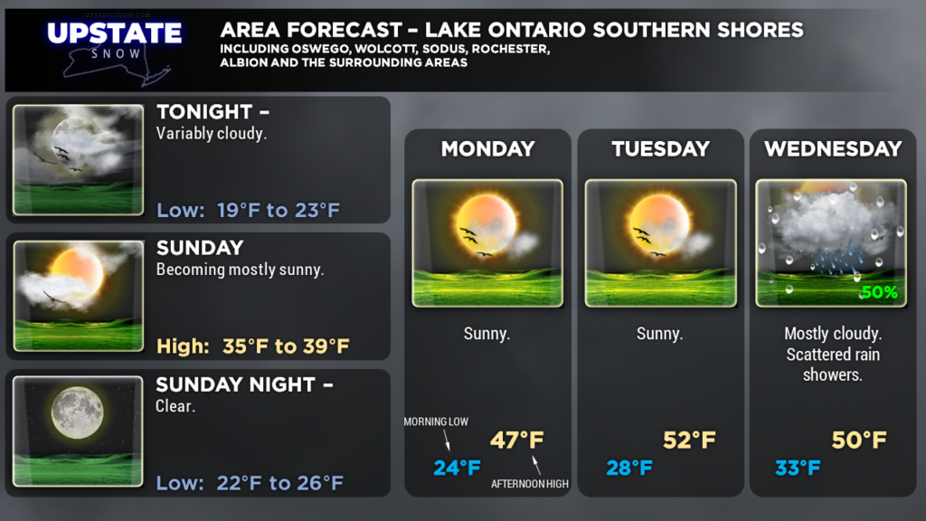
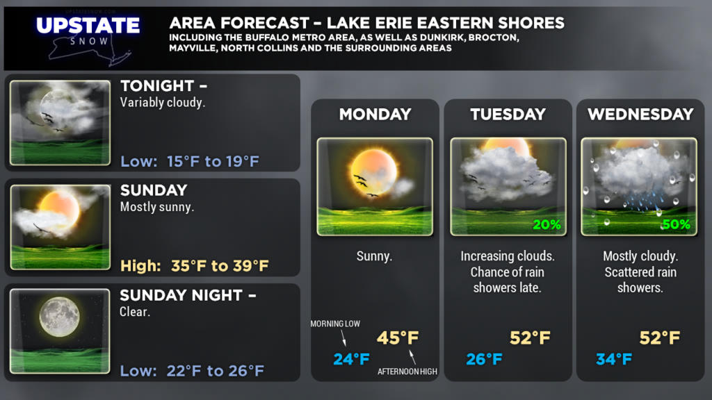
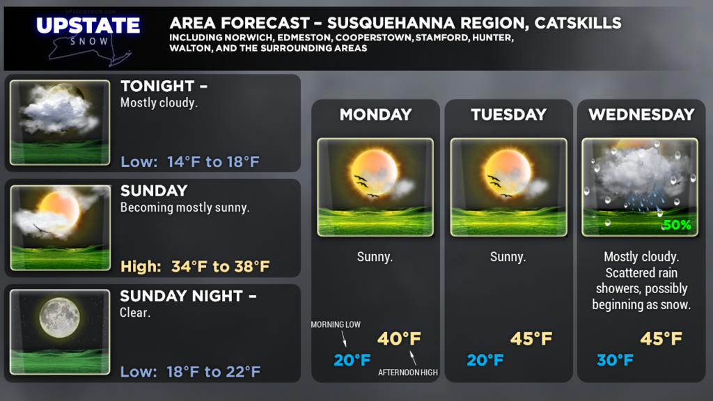
High pressure will settle in for Sunday and shift eastward Monday. This will keep dry weather over the region through Tuesday. Daytime highs will jump into the 40s to around 50… but nighttime lows, especially where there’s still some good snow cover, will fall to the teens and 20s.
Two storm systems on the docket for this week. The first one moves through the Great Lakes Tuesday night through Wednesday, and this will bring rain showers to the area. It may be cold enough at the start early Wednesday that either some wet snow or some freezing rain occurs, but that isn’t expected to last for long.
The cold front associated with this system will drag… it will be in no hurry to cross the state. This will allow the next storm system to take shape……………
Looking at Easter weekend, the “big picture” of the models shows low pressure developing over Arkansas and moving northeastward along the cold front (which will still be lingering around here) through Saturday. The location of the front will be the key here… because the center of the low will tend to follow the frontal boundary. Model differences bring precipitation-type ramifications; the European model takes the center of low pressure through northern Pennsylvania through southeast New York into New England. This would bring a scenario of rain changing to wet snow Saturday. The Icon model (the German variant of the European model suite) takes the low over west-central New York, keeping the Upstate as rain. The Canadian CMC brings a fairly strong low (991 mb) from west-central Pennsylvania through central New York… we would experience a slug of moderate to heavy rain followed by a transition to some snow for Easter. The GFS model… has nothing of the sort… It clears the initial cold front out of here fairly quickly, and then has a separate area of low pressure moving through the northern Great Lakes into Ontario and Quebec, with rain being the dominant p-type here.
The biggest holdup to the front will be a high pressure ridge off to the south and east, which will pump mild air into the state until Good Friday… and placement of that frontal boundary takes all bets off the table as far as temps go at that point. Winter looks like it’s trying to go out with a bang.
Quiet weather Sunday-Tuesday, rain showers a good bet Wednesday into Thursday, and then ????? for next weekend. That about sums it up folks.

