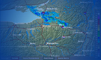
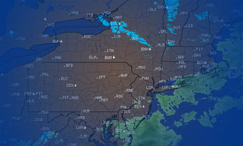
Weather Update for Saturday March 17, 2018
Saturday, 17 March 2018
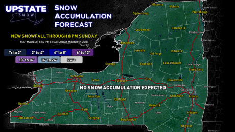
Dry and cold weather will be the rule Sunday through at least the middle of next week. The storm we've been watching looks to stay well to our south at this time, but we'll still keep an eye on it.
- Published in Weather
Weather Update for Friday March 16, 2018
Friday, 16 March 2018
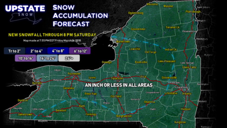
Very dry and cold weekend on tap for near-perfect riding conditions! Still watching the potential for a storm mid-week.
- Published in Weather
Weather Update for Thursday March 15, 2018
Thursday, 15 March 2018
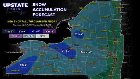
A disturbance in the upper levels will reinforce the northwest winds and snow showers tonight into Friday. A clear, dry, cold weekend on tap. Happy riding!!
- Published in Weather
Weather Update for Wednesday March 14, 2018
Wednesday, 14 March 2018
Our #SecondChanceWinter keeps on keepin' on.
- Published in Weather
Weather Update for Tuesday March 13, 2018
Tuesday, 13 March 2018
#snOMG #snowmageddon #SecondChanceWinter - Bring on all the hashtags, it's joyous for late-season riding across The Empire State.
- Published in Weather
Weather Update for Monday March 12, 2018
Monday, 12 March 2018
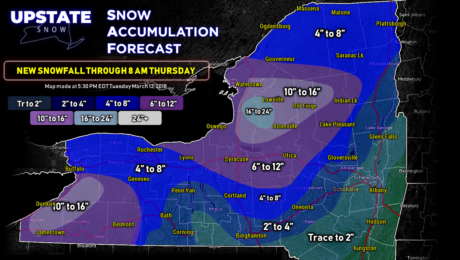
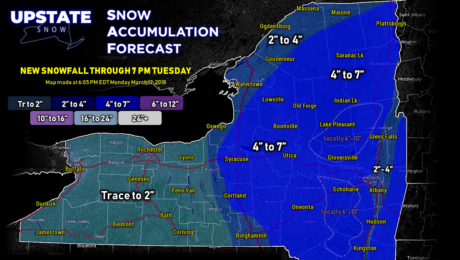
A westerly jog in the storm track will set the stage for a moderate-impact snowstorm across central and eastern New York through Tuesday. Windy with significant lake effect snows for Wednesday and Thursday.
- Published in Weather
Weather Update for Sunday March 11, 2018
Sunday, 11 March 2018
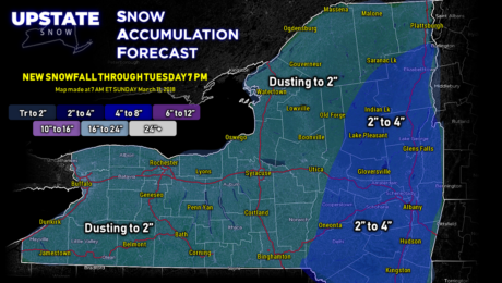
Third nor'easter gives a glancing blow; accumulating snow for eastern New York. An unsettled pattern brings snow showers to the state much of the week, but the clock is winding down on our Second-Chance Winter.
- Published in Weather
Weather Update for March 9, 2018
Friday, 09 March 2018
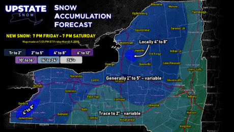
Widespread snow showers gradually end Saturday morning. Dry conditions later Saturday afternoon into Monday before unsettled weather takes hold for much of the rest of the week.
- Published in Weather
Weather Update for March 8, 2018
Thursday, 08 March 2018
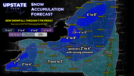
The nor'easter to our northeast, a disorganized surface low to our northwest, and a closed low will combine to keep unsettled, wintry conditions over the state well into next week.
- Published in Weather

