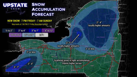
11/9/2018–Winter Roars to Life
Friday, 09 November 2018
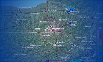
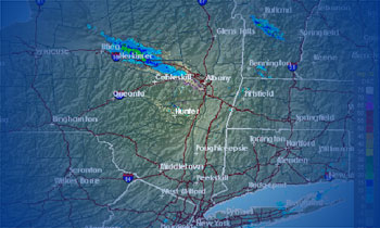
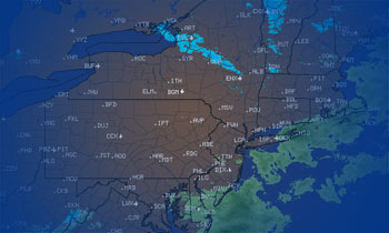
Several inches of lake effect snows Saturday and Saturday night... a Nor'easter next week... with more LES behind it!
- Published in Weather
11/01/2018–Truth about winter outlooks and riding Upstate
Thursday, 01 November 2018
Lets take a deep breath here. Regardless of whether it’s from the National Weather Service, other meteorologists, The Farmer’s Almanac… or us… It’s just a summary of thoughts and trends. The devil is always in the details.
- Published in Weather
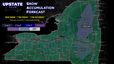
10/26/2018–Weather Update: Some accumulation in the Cats-and-Daks
Friday, 26 October 2018
Early season "Nor'Easter" will bring some mixed precip and snow to higher elevations of the Catskills and Adirondacks tonight.
- Published in Weather
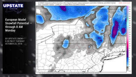
Building Our Appetite – Weather Update – October 22, 2018
Tuesday, 23 October 2018
An early season taste of what's to come!
- Published in Weather
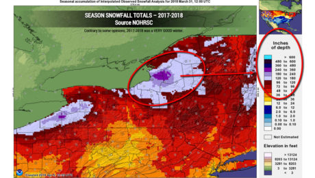
Weather Update – 03/31/2018 – and Thank You.
Saturday, 31 March 2018
Thank you for an awesome 2017-2018 season. Thank you... for choosing Upstate Snow to be your go-to source for weather and trail information.
- Published in Weather
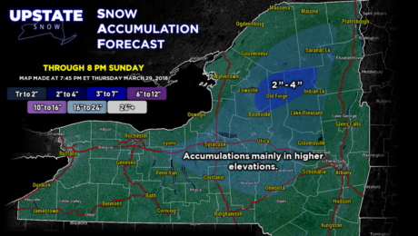
Weather Update – Friday March 30, 2018
Friday, 30 March 2018
A dry Saturday... but the next weather system brings rain showers Saturday night, changing to snow showers... and there may be several inches of snow accumulation in the Adirondacks on Easter Sunday.
- Published in Weather
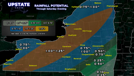
Weather Update – Thursday March 29, 2018
Thursday, 29 March 2018
Widespread rain with areas of fog tonight into Friday. We dry out Friday afternoon through Saturday before rain showers return late Saturday night... changing to snow showers on Sunday.
- Published in Weather
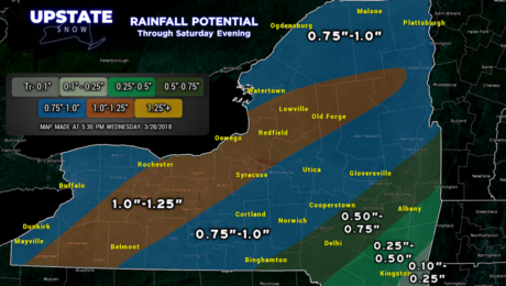
Weather Update – Wednesday March 28, 2018
Wednesday, 28 March 2018
A fairly strong area of low pressure will move northeastward over the state early Friday. This will bring copious rain to much of Central New York.
- Published in Weather
Weather Update – Tuesday March 27, 2018
Tuesday, 27 March 2018
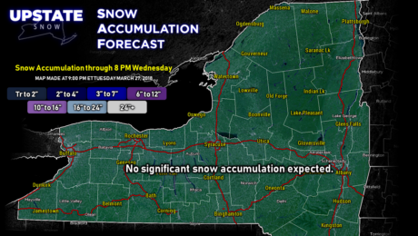
Rainy periods through early Wednesday, then again Thursday into early Friday. Temperatures will be in the upper 40s to lower 50s by day and mid 30s by night just about all locations.
- Published in Weather

