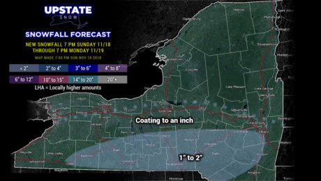
11/18/2018–Weather Update
Sunday, 18 November 2018
A couple relatively weak systems will keep a fresh layer of snow on the ground before an Arctic Blast for Thanksgiving.
- Published in Weather
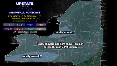
11/17/2018–Weather Update
Saturday, 17 November 2018
A quiet and cold weather week ahead.
- Published in Weather
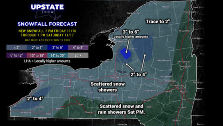
11/16/2018–Weather Update
Friday, 16 November 2018
Upslope-enhanced lake effect targets the Tug tonight into Saturday.
- Published in Weather
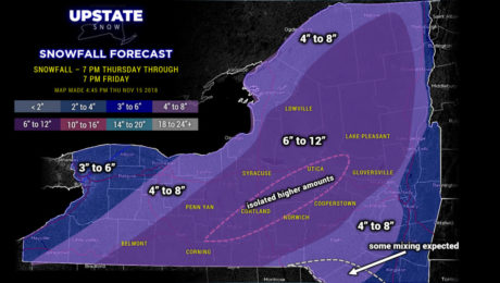
11/15/2018–Weather Update
Thursday, 15 November 2018
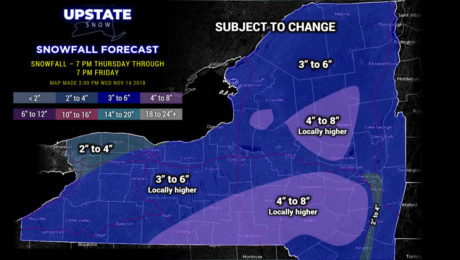
Classic mid-winter snowstorm to rock nearly all of central/northern New York tonight into Friday.
- Published in Weather
11/14/2018–Weather Update
Wednesday, 14 November 2018
Confidence is increasing on a moderate-intensity early season snowstorm for New York State.
- Published in Weather
11/13/2018–Lake Effect and Nor’Easter #2
Tuesday, 13 November 2018
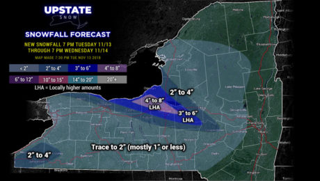
A quick-hitting but significant lake effect snow event sets up late tonight through Wednesday... and then a second Nor'Easter brings accumulating snows to the Upstate.
- Published in Weather
11/12/2018–Weather Update
Monday, 12 November 2018
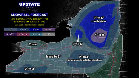
Good evening! Ok we have Winter Weather Advisories up for a large portion of central NY and the Adirondacks through tomorrow morning and tomorrow afternoon, respectively. Low pressure moving up the coast will bring a classic elevation storm to our area. So what are we looking at? We’re painting an area of 4-8 inches of
- Published in Weather
11/11/2018–Winter Roaring to Life
Sunday, 11 November 2018
The potential for TWO Nor'Easters this week....
- Published in Weather
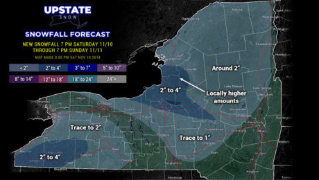
11/10/2018–LES ending, Nor’easter coming…
Saturday, 10 November 2018
Lake snows winding down, but the week ahead features a Nor'easter, a blast of unseasonably cold air, and lake effect...
- Published in Weather

