01/07/2019–Weather Update
Monday, 07 January 2019
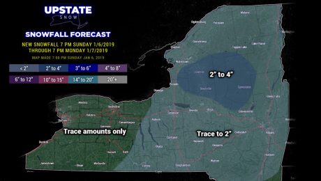
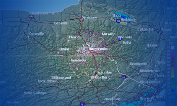
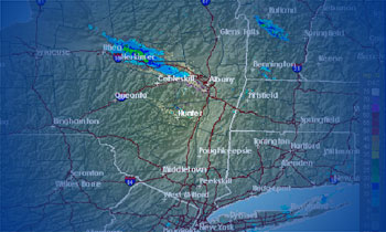
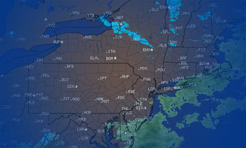
Waves of mixed precipitation will impact the Upstate through tonight, with scattered rain showers over the state Tuesday. Then... it gets cold and snowy.
- Published in Weather
01/06/2019–Weather Update
Sunday, 06 January 2019
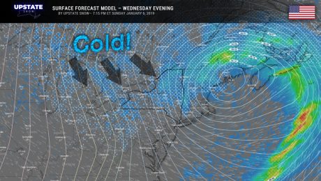
A couple of waves of precipitation -- light snow, freezing rain, rain -- will impact the state tomorrow and tomorrow night. A transition back to colder temps and lake effect Tuesday evening through Thursday.
- Published in Weather
01/04/2019–Weather Update
Friday, 04 January 2019
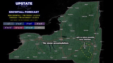
Coastal storm system brushes southeast NY with rain showers, and possibly some freezing rain for the eastern Catskills, on Saturday. Snow showers on the back side for Saturday night into Sunday.
- Published in Weather
01/03/2019–Weather Update
Thursday, 03 January 2019
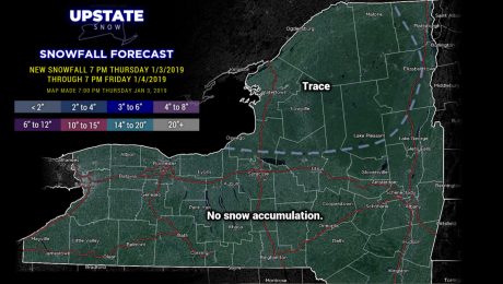
Quiet weather through Friday night. Our next system will impact southeast NY on Saturday into Saturday night.
- Published in Weather
01/02/2019–Weather Update
Wednesday, 02 January 2019
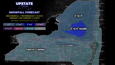
Clipper system will bring a period of snow north of the Thruway tonight into Thursday, several inches of accumulation. Much less accumulation south of Route 20.
- Published in Weather
01/01/2019–Weather Update
Tuesday, 01 January 2019
Quiet weather conditions and seasonable temperatures through Wednesday evening. A clipper system may bring a couple of inches of snow to the state late Wednesday night/Thursday morning.
- Published in Weather
12/31/2018–Weather Update
Monday, 31 December 2018
Best wishes for a safe evening and a prosperous New Year!
- Published in Weather
12/30/2018–Weather Update
Sunday, 30 December 2018
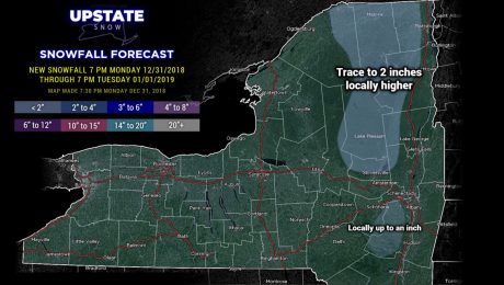
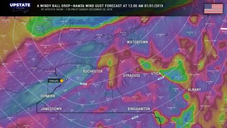
2018 will come to a wet and dreary end as rain moves into the area Monday afternoon and continues into New Years Day. It's gonna be just a bit breezy, too.
- Published in Weather
12/29/2018–Weather Update
Saturday, 29 December 2018
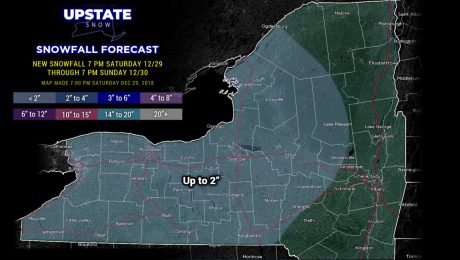
A little bit of light snow tonight across western and west-central NY. And then our episode of Groundhog Day continues....
- Published in Weather

