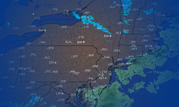
01/16/2019–Weather Update
Wednesday, 16 January 2019
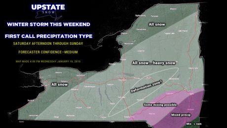
To quote WWE's DX: Are you ready?
- Published in Weather
01/15/2019–Weather Update
Tuesday, 15 January 2019
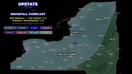
Snow showers across much of the state Wednesday... another light snow system on Friday... and then the big one...
- Published in Weather
01/14/2019–Weather Update
Monday, 14 January 2019
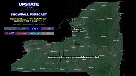
Scattered snow showers Tuesday will have a bit better coverage on Wednesday... and things get very interesting this weekend.
- Published in Weather
01/13/2019–Weather and Riding Update
Sunday, 13 January 2019
A couple of chances for snow this week... and then the script gets flipped. In a good way.
- Published in Weather
01/12/2019–Weather Update
Saturday, 12 January 2019
An unusually long period of tranquil weather... lasting into Tuesday... for the Upstate.
- Published in Weather
01/11/2019–Weather Update
Friday, 11 January 2019
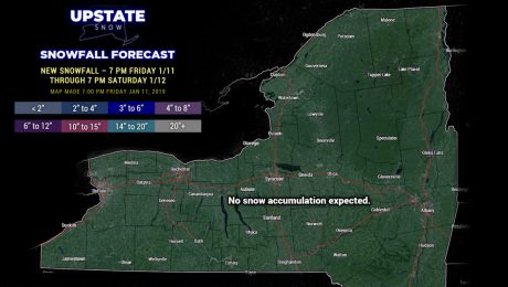
Cold, dry high pressure will dominate through the weekend.
- Published in Weather
01/10/2019–Weather Update
Thursday, 10 January 2019
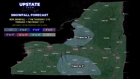
Lake effect winding down; quiet weather with cold temperatures through the weekend.
- Published in Weather
01/09/2019–Weather Update
Wednesday, 09 January 2019
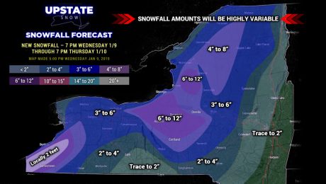
Our lake effect storm continues through Thursday... some areas will receive a LOT of snowfall... and some areas... not so much.
- Published in Weather
01/08/2019–Weather Update
Tuesday, 08 January 2019
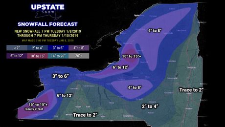
From thunderstorms to heavy snow... and the lake effect cannons roar to life.
- Published in Weather

