02/21/2019–Weather Update
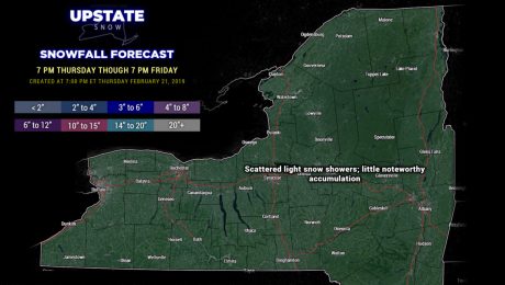
Thursday, 21 February 2019
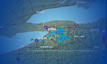
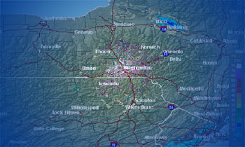
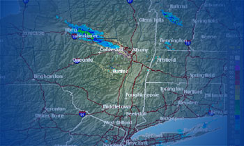
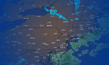
If you're going to go riding, the best opportunity is between now and about noon on Saturday. Get out and ride!
- Published in Weather
02/20/2019–Weather Update
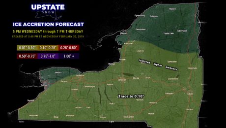
Wednesday, 20 February 2019
Mixed precipitation event for tonight transitions to rain showers early Thursday, and then ends. A much stronger storm will take a similar path this weekend.
- Published in Weather
02/19/2019–Weather Update
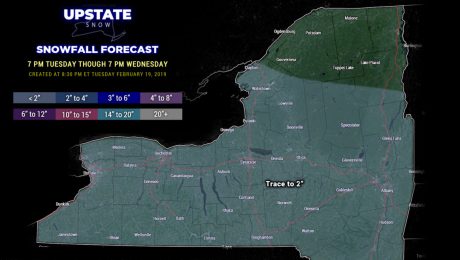
Tuesday, 19 February 2019
Yet another system will bring snow, transitioning to mixed precip and rain showers Wednesday afternoon through Thursday.
- Published in Weather
02/18/2019–Weather Update
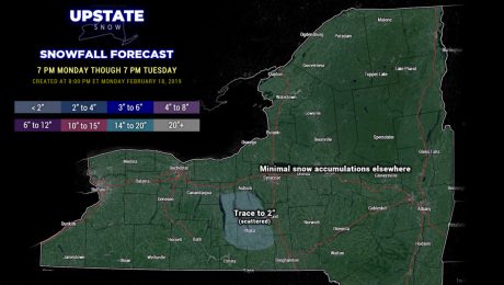
Monday, 18 February 2019
Some minor lake effect snow showers off the Fingerlakes will come to an end. Dry weather will prevail on Tuesday through the first half of Wednesday.
- Published in Weather
02/17/2019–Weather Update
Sunday, 17 February 2019
Widespread generally light snow will drop 2-4 inches across the Southern Tier tonight through Monday.
- Published in Weather
02/16/2019–Weather Update
Saturday, 16 February 2019
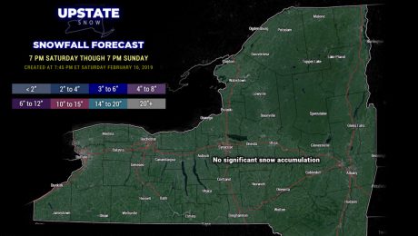
Quiet weather for your Sunday. Snow overspreads the region Sunday night through Monday... before another potentially significant system impacts the area mid-week.
- Published in Weather
02/15/2019–Weather Update
Friday, 15 February 2019
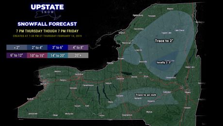
Light lake effect snows tonight into Saturday, mainly east of Lake Ontario. The next system brings some light snows to the area late Sunday into Monday.
- Published in Weather
02/14/2019–Weather Update
Thursday, 14 February 2019
Your Friday will be greeted by some snow showers, transitioning to rain showers, then back to snow showers.
- Published in Weather
02/13/2019–Weather Update
Wednesday, 13 February 2019
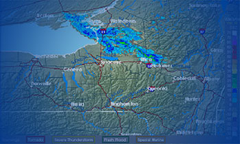
Lake effect snow will continue east of Lake Ontario through the night, with scattered snow showers elsewhere.
- Published in Weather

