The Morning Blog 12.22.2020
Tuesday, 22 December 2020
Certainty and uncertainty. That’s todays theme. The amount of uncertainty with the Christmas Eve warmth and rain is still high. How much? How long? When? Those are critical to determining how much snow pack survives. Models are still inconsistent on this. If you believe the Canadian RGEM, it’s a wipeout. If you believe the NAM
- Published in Weather
The Morning Blog 12.21.2020
Monday, 21 December 2020
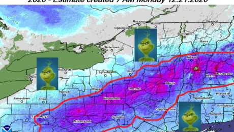
The Grinch that could steal your White Christmas is en route, ready to turn Christmas Eve into a freaking mess across Upstate NY. The map shows the 10″ snowpack line as of this morning. It’s areas that have LESS than 10″ of snow pack that are most likely to lose their snowpack Thursday. Based on
- Published in Weather
The Morning Blog 12.18.2020
Friday, 18 December 2020
The big question after the big storm is: Will it stay around? I have some good news. I believe the answer to that question is YES. For areas that got less than 6 inches, it’s going to be tough going until we can get more snow events in here. Areas that got more than 6”,
- Published in Weather
The Morning Blog 12.16.2020
Wednesday, 16 December 2020
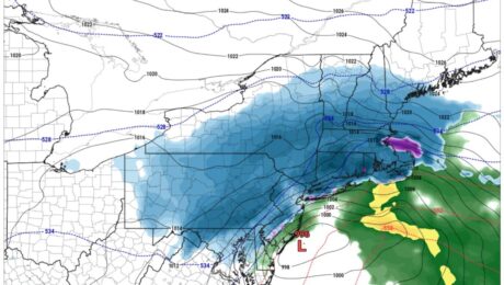
The northern shift we were hoping and praying for is happening. I still expect the heaviest snow to be along and south of I-88 so Binghamton area, Catskills and areas of the Hudson Valley south of Albany will be the heaviest in Upstate NY. I think overall with the storm the Poconos are most likely
- Published in Weather
The Morning Blog 12.15.2020
Tuesday, 15 December 2020
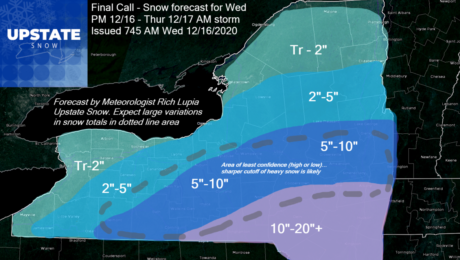
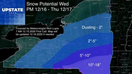
Our first snow map is out and is still subject to change tomorrow morning in the blog. We are now within 3 days and while comfortable enough to put our forecast out still have concern over the details and trends. I’m going to put the analysis for the snow map up front since I know these maps get shared a lot in storm situations and want to give those just looking for the bottom line, the bottom line.
- Published in Weather
The Morning Blog 12.14.2020
Monday, 14 December 2020
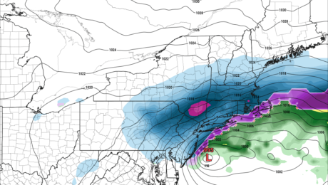
OK Folks things are getting clearer as we approach our Wednesday PM to Thursday AM Nor’easter… and biggest storm of the season so far. Winter storm watches and warnings being put out unusually far in advance to the south of Upstate NY from Scranton down through the central Appalachians. It’s no longer an issue of
- Published in Weather
The Morning Blog 12.13.2020
Sunday, 13 December 2020
It’s going to be a close call on tomorrow/Tuesday and Wednesday/Thursday storm systems. The models are agreeing much more on the overall pattern at the jet stream level but still are having a spirited discussion on the details of the surface low pressure and associated snowfall across Upstate NY. If you are a fan of
- Published in Weather
The Morning Blog 12.12.2020
Saturday, 12 December 2020
Everyone please remain calm. It’s December. It snows. I know it hasn’t snowed much yet this winter and we are all waiting for it now more than usual. Thoughts about what’s out there so far followed by my current analysis… First of all there is definite potential, no doubt. And the GFS is trending more
- Published in Weather
The Morning Blog 12.08.2020
Tuesday, 08 December 2020
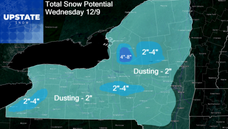
This is not a big snowfall by December standards by any means. But it’s 2020 and it’s a mild winter to start and looking that way in the long term… so minor snow events like this, which would be lost in the noise of a big snow and cold winter, get more attention and tend
- Published in Weather

