The Morning Blog 2.10.21
Wednesday, 10 February 2021
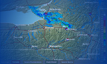
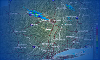
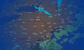
Localized lake effect snows will remain today over northern Cayuga and Oswego Counties close to the lake today, lighter snows may continue along and just north of the Thruway as well. The only other thing in sight through Saturday is tomorrow when a storm hits hard to our south (PA and Mid Atlantic States) but
- Published in Weather
The Morning Blog – 02.09.21
Tuesday, 09 February 2021
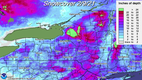
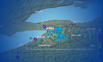
Our general snows will continue through today, tapering off by tonight. This will add yet a few more inches to this pile of snow already on the ground. As you can see, while snowfall has been generous in recent weeks, not the entire state has been blessed equally. Immediate Buffalo area into Niagara and Orleans
- Published in Weather
The Morning Blog 02.08.21
Monday, 08 February 2021
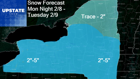
Snow will be moving in this evening and last through the day tomorrow. Since the heart of the energy is heading more into PA, I don’t see a ton of potential for lake enhancement… And I think Northern NY gets little out of this. For most of the state, not a disruptive travel situation, but
- Published in Weather
The Morning Blog 02.07.21
Sunday, 07 February 2021
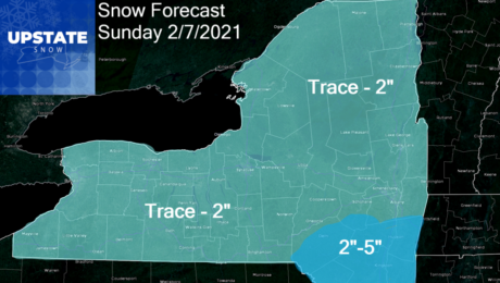
The next storm coming out of the Carolinas and the Virginias up the coast is moving too fast and doesn’t have the push to get up the coast and make the turn towards Upstate NY and New England. Most of the snow you’ll see today is from the edges of the storm and the upper
- Published in Weather
The Morning Blog 02.06.21
Saturday, 06 February 2021
Quick updates on this blog. Expect a longer one with more detail tomorrow. I’m thankful just to be able to get this out now. And again I apologize. Massive headaches you can’t shake absolutely suck… TODAY: Lake snows continue to crush Erie, Niagara, Orleans, Genesee, parts of Monroe, northern Lewis, Jefferson and St Lawrence Counties
- Published in Weather
The Morning Blog 02.02.21
Tuesday, 02 February 2021
The latest on our current storm, a look to the end of the week (NO BLOWTORCH THAW) and a long overdue visit from our northern friends is on the schedule for this edition of The Morning Blog. HERE AND NOW: The big burst of snow we were expecting is on schedule, and will gradually fall
- Published in Weather
The Morning Blog 02.01.21
Monday, 01 February 2021
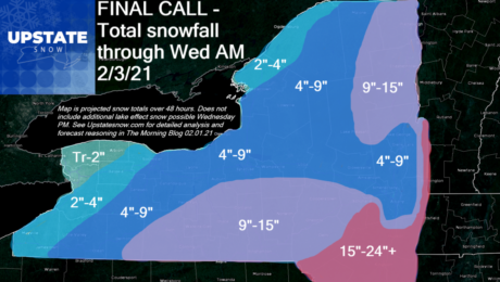
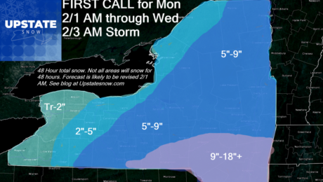
The big storm is here for the next two days. There still remains an unusually high degree of uncertainty with this storm. So lets break this down into what we know and what we don’t know as of 7 AM 02/01/21 WHAT WE DO KNOW: Eastern PA, The Poconos, The Tri-State area (including NYC this
- Published in Weather
The Morning Blog 01.31.21
Sunday, 31 January 2021
Snow will indeed hit Upstate NY despite our analysis three days ago that said otherwise. It’s a funny reversal. If you remember back to the beginning of December, before the December 15th incredible storm that hit the Southern Tier and Eastern NY, There was a “bullseye” hit for most of Upstate NY indicated three days
- Published in Weather
The Morning Blog 01.27.21
Wednesday, 27 January 2021
Now that snow has returned, what about the cold? It’s on the way again! With snow cover over much of Upstate NY now and more and more clubs opening up, it’s time to explore some areas that were previously closed off due to lack of snow. Don’t wait. THIS IS THE TIME! I’ll explain why
- Published in Weather

