The Morning Blog 04.15.21
Thursday, 15 April 2021
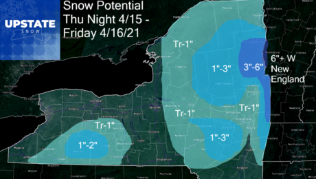
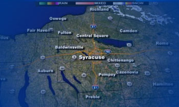
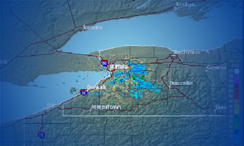
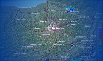
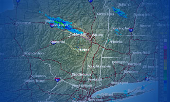
I didn’t think I’d put up a snow map one more time… especially the way this (actual) spring weather has been going across Upstate NY. But here we go… First off, it’s not a HUGE storm. It’s Mid-April and this is not unprecedented historically. Second, it will be enough to keep it cloudy, rainy, raw
- Published in Weather
The Morning Blog 03.29.21 – April Fools Edition
Tuesday, 30 March 2021
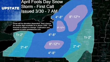
It’s not an April Fools Joke. The joke is on Upstate NY believing spring is here to stay. That doesn’t happen from March forward even in the warmest of years. And so here we are with an unseasonably cold airmass tangling with an unseasonably warm airmass… and the timing and placement of such clash favors
- Published in Weather
The Morning Blog 03.01.21 plus site update at end
Monday, 01 March 2021
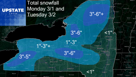
March is coming in like a Lion across Upstate NY today, putting an end to the rain and the thaw… but also bringing high winds back to the state with widespread 40-60+ MPH gusts anticipated through tonight, especially across the higher elevations. We will update the thaw coming to an end, the wind and cold
- Published in Weather
The Morning Blog 02.23.21
Tuesday, 23 February 2021
Another snowy day! Most of Upstate NY sees an additional 1-3 inches of snow through tonight with localized areas of 4-5 inches possible in upslope areas and downwind of Lake Ontario. Add this to the bonus snow that was WAY more than predicted yesterday… and yes if I was up to putting up a snowmap…
- Published in Weather
The Morning Blog 02.19.21
Friday, 19 February 2021
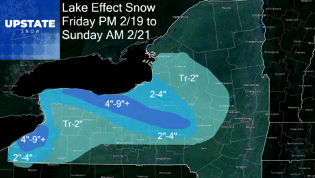
General snows will wind down today across Upstate NY with lake effect snows taking over as the main weather concern over the next 36-48 hours. The air coming across the lakes is certainly cold enough, with the Rochester area and counties along the southern lake shore, into the Syracuse area and especially the hills just
- Published in Weather
The Morning Blog 02.15.21
Monday, 15 February 2021
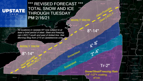
Sleet for a lot more folks and now freezing rain for some is LIKELY for a good portion of Upstate NY with this storm moving in. I’m going to hit the details you need to know FIRST. After that, what changed over the last 24-30 hours, many of those points if you’ve followed my blog
- Published in Weather
The Morning Blog 02.14.21
Sunday, 14 February 2021
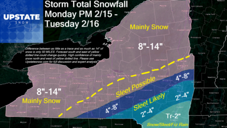
The snowstorm (and sleet for some) is taking shape and will head into Upstate NY tomorrow through Tuesday. Regardless of where you are and what your precipitation type is, the timing is high confidence now. The first wave hits tomorrow and tapers off during the late afternoon and early evening. First wave will be light
- Published in Weather
The Morning Blog 02.13.21
Saturday, 13 February 2021
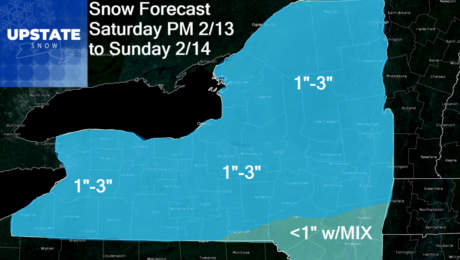
It’s on! Four snow events in the next week. The second one pictured is the Tuesday event, which will be significant. Each one will be different. This is a short summary update due to my time constraints. Snow map for the late Monday/Tuesday storm will be posted tomorrow morning. #1 – This evening through tomorrow
- Published in Weather
The Morning Blog 02.12.21
Friday, 12 February 2021
Cold enough for ya this morning??? This is the worst of the cold I think for this arctic outbreak and I’ll call it now: I think this is the coldest morning of the winter season. We’ll probably get close a few more times this month but when all is said and done, I think this
- Published in Weather

