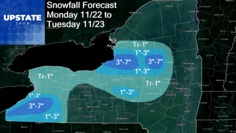
The Morning Blog 11.21.21
Sunday, 21 November 2021
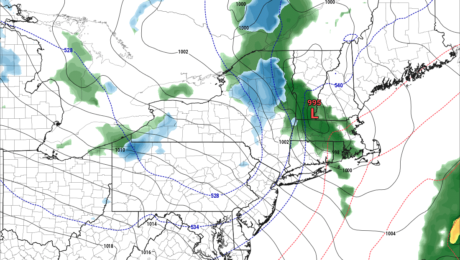
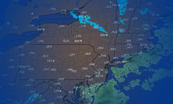
After rain developing this afternoon and especially tonight, much colder air and snow returns to Upstate NY Monday and Tuesday. Behind our rain storm will be the coldest air of the season yet. Each cold blast seems to get just a little more BITE on it. As it blows through rain mixes with snow as
- Published in Weather
The Morning Blog 11.18.21
Thursday, 18 November 2021
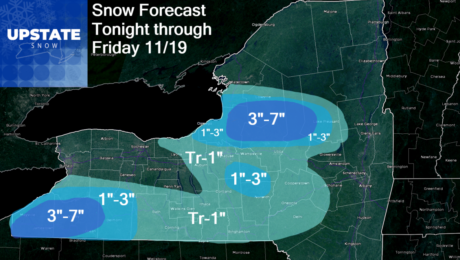
Rain today, but colder air and snow returns after sunset tonight and especially by tomorrow morning. A blast of rain ahead of the next system along with very mild temperatures sweeps through this afternoon, followed by a strong cold front and big temperature drop this evening. Rain will mix with and change over to snow
- Published in Weather
The Morning Blog 11.13.21
Saturday, 13 November 2021
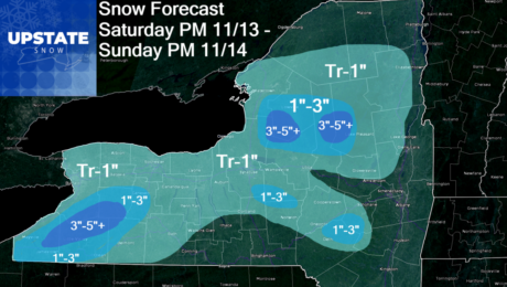
Two rounds of snow are in store for Upstate NY. The first is this afternoon and tonight, tapering off tomorrow morning. The second wave comes Sunday afternoon and especially Sunday night and into Monday morning, with additional lake effect lingering into Tuesday. Round 1 is on schedule and on it’s way to Upstate NY. Temperatures
- Published in Weather
The Morning Blog 11.12.21
Friday, 12 November 2021
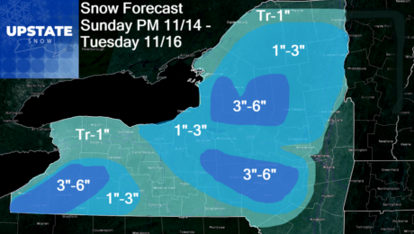
After heavy rain, thunderstorms and gusty winds today, snow re-enters the forecast starting Saturday PM and goes through Sunday PM. There will also be another period of snowfall, a better period of snowfall developing Sunday evening/night lasting through the day on Monday and into Tuesday as well. The air coming in is the coldest of
- Published in Weather
The Morning Blog – 11.11.21
Thursday, 11 November 2021
Things are getting active again when it comes to winter weather. We are focusing on Saturday afternoon through Tuesday as our next windows of time to get accumulating snows across Upstate NY, especially in the lake effect bands and in the higher elevations. Our strong cold front approaches with strong southerly winds out ahead of
- Published in Weather
The Morning Blog 11.08.21
Monday, 08 November 2021
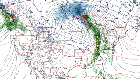
Most of the week will be dry, warm and unusually sunny for November. Starting Veteran’s Day (Thursday) into Friday the 12th, things will flip going into next weekend and beyond. A very strong storm, a November Gale, will develop across the Great Plains this Wednesday into Veteran’s Day. The difference between the strong highs on
- Published in Weather
The Morning Blog 11.05.21
Friday, 05 November 2021
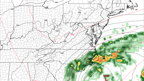
Well that was fun while it lasted… Expect MUCH warmer conditions and an end to the SNOW threat over the next several days across Upstate NY. Whatever fell on the state, in all areas, will melt off before the next snows have a chance to move in. While the Southeastern US gets dealt a MAJOR
- Published in Weather
The Morning Blog 11.02.21
Monday, 01 November 2021
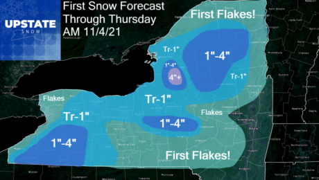
It will not be a big one. Most will probably only see their first flakes in the air over the next few days as it gets colder. For those that are above 1000 feet, especially north of the Thruway, and a few select locations in the hills S of the Thruway, early season winter is
- Published in Weather
The Morning Blog 11.01.21 and Winter Weather First Look
Monday, 01 November 2021
Welcome to November! Or is it Snowvember? We shall see. For the first week of the month anyway, chilly with several chances at first snow for most of Upstate NY. Some of the snows, are likely to be accumulating. Best chances are Tuesday and Wednesday. First we start off with the blast you are getting
- Published in Weather

