The Morning Blog 12.10.21
Friday, 10 December 2021
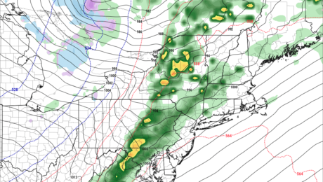
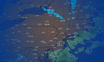
HOLD ON TO YOUR HAT! Winds will pick up tonight and especially tomorrow across most of Upstate NY with the highest threat for high winds in WNY, the Tug Hill and the St Lawrence Valley. High Wind Warnings and Watches have been hoisted. Keep a way to get warnings with the weather scenario unfolding. While
- Published in Weather
The Morning Blog 12.08.21
Wednesday, 08 December 2021
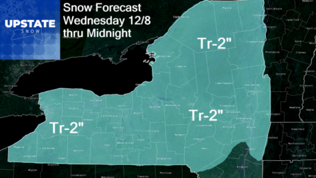
If I wanted to crash winter, this is exactly what I would do. This weather pattern, especially next week, crashes winter. Period. The National Weather Service is putting a 90-100% at BOTH 6-10 days and 8-14 days for ABOVE NORMAL TEMPERATURES. 90 to 100% chance. Even when you know you’re going to get hit, it’s
- Published in Weather
The Morning Blog 12.06.21
Monday, 06 December 2021
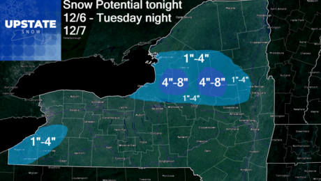
Lake effect snow returns tonight and tomorrow downwind of Lake Ontario, but not after warmth, wind and rain to wash out what snowpack we do have on the ground for this opening day of the 2021-22 snowmobile season for parts of the Tug Hill and for most of the Adirondacks. I wish there was enough
- Published in Weather
The Morning Blog 12.04.21
Saturday, 04 December 2021
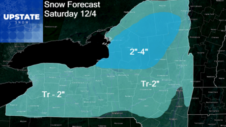
Wow! We’re getting snow today! Well for most, maybe just enough to whiten the ground. Higher elevations north of the Mohawk Valley and north of the Thruway stand to see perhaps 2 or 3 quick inches. At most. This is about all we can get excited about at this point in time. By tomorrow we
- Published in Weather
The Morning Blog and Final Winter Weather Outlook 12.01.21
Tuesday, 30 November 2021
The Thursday event is trending farther north and warmer, so instead of wet snow hitting the Adirondacks on Thursday with lower elevations seeing rain, it looks like everybody will see rain. And temps well into the 40s. Even the Adirondacks look to be upper 30s to lower 40s on this one. Wish I had better
- Published in Weather
The Morning Blog 11.30.21
Tuesday, 30 November 2021
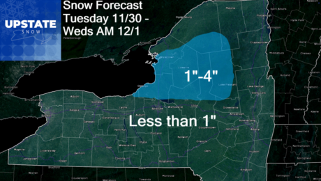
Another in a series of very “light” snowfall events by Upstate NY standards rolls its way through Upstate NY beginning this afternoon through tonight as a weak clipper flies by. Behind the clipper will be a brief lake response which should just be enough to add a few additional inches for folks mainly north of
- Published in Weather
The Morning Blog 11.28.21
Sunday, 28 November 2021
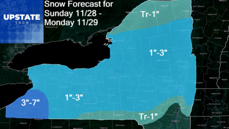
Snow showers, mixed with rain at times today, trending to all snow tonight into Monday morning will be present across much of Upstate NY as a weak Alberta Clipper comes running through the region. It’s weak, just enough to put down just enough for you to shovel and brush off… but not quite to the
- Published in Weather
The Afternoon Blog 11.24.21
Wednesday, 24 November 2021
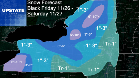
Snow will overspread Upstate NY on Friday, lingering into Friday night and Saturday. Many areas that have only seen flakes, could get their first actual snowfall. Other areas that have only seen a trace to an inch… may get a little more than that. This is not major, but it is enough, especially with the
- Published in Weather
The Morning Blog 11.23.21
Tuesday, 23 November 2021
Lake effect will end this afternoon across all of Upstate NY with little additional accumulation. Cold temperatures for sure this afternoon and especially tonight falling into the teens and 20s across Upstate NY. Wednesday for the biggest travel day of the year looks sunny and bright not just in Upstate NY but all the way
- Published in Weather

