The Morning Blog 12.27.21
Monday, 27 December 2021
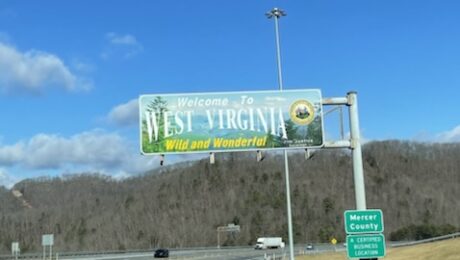
Almost heaven? Well it would be a little closer to heaven if I had snow! Even at over 3,300 feet elevation I had the big sun ball in the sky, 54 degrees and zero natural snow anywhere in the mountains around me. Just melting manmade snow on the slopes of the ski resort I was
- Published in Weather
The Morning Blog 12.23.21
Thursday, 23 December 2021
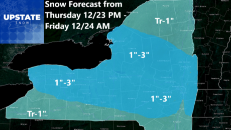
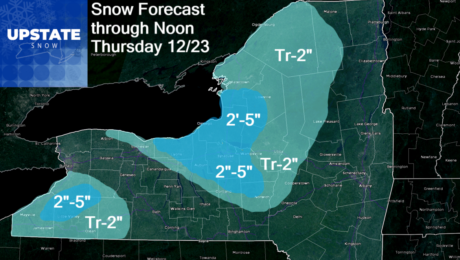
Additional snowfall is on the way this evening, tonight and into the morning of Christmas Eve! The well advertised warm front will come pushing through and drop a generalized snowfall onto pretty much most of Upstate NY. But it’s WNY, CNY, the Capital Region, the Tug Hill and southern/central Adirondacks that will get the most
- Published in Weather
The Morning Blog 12.22.21
Wednesday, 22 December 2021
Hello winter! It’s your first full day! How about some snow? Really? Sure! That’s what I was like waking up this morning looking at the scenario on the mesoscale models. Canadian regional went NUTS. NAM 3K less aggressive. NAM, Euro and GFS were like YAWN. But within 24-36 hours, these are the situations surprise snows
- Published in Weather
The Morning Blog 12.20.21
Monday, 20 December 2021
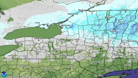
After this weekend’s storm, we have a very quiet week ahead. It will be much closer to normal with the nights cold, but not as chilly as what you are seeing waking up across Upstate NY this morning. Single digits with a few spots BELOW ZERO this morning with the meager snow cover in the
- Published in Weather
The Morning Blog 12.17.21
Friday, 17 December 2021
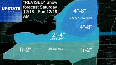
Please share our updated forecast for snow tomorrow! The cold front has gone through, the record warmth of yesterday is now OVER, and colder winds are blowing. Not bitterly cold, but colder. And there is just enough cold air in place with the next system coming overnight tonight and through Saturday and Saturday night, timing
- Published in Weather
The Morning Blog 12.16.21
Thursday, 16 December 2021
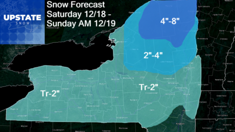
After 60s and record warmth today, a cooldown Friday then Saturday, the first snow event in over a week impacts Upstate NY. This snow event is being measured in inches, at a time of the year when this forecast could be in feet. There is no snow on the ground. Even in the Adirondacks and
- Published in Weather
The Morning Blog 12.15.21
Wednesday, 15 December 2021
Odds are increasing quickly for a snow event, especially along and north of the Thruway developing Saturday and tapering off on Sunday with a little additional lake effect. It won’t be what we need to ride. But it is snow. And it is a start. And with this being the 5th model run in a
- Published in Weather
The Morning Blog 12.14.21
Tuesday, 14 December 2021
For the first time in weeks, I have something called HOPE. Hope we will see a return to snow in Upstate NY. Hope for a White Christmas. Maybe on that one. Hope for a pattern change. Hope that winter will arrive late rather than not at all. This is an evolving process so I’ll start
- Published in Weather
The Morning Blog 12.13.21
Monday, 13 December 2021
Welcome back to December 2015 in December 2021. Clouds give way to sun across most of Upstate NY with 40s and 50s for highs. Sunshine will dominate tomorrow with temps in the 40s and 50s in some spots with overnight lows near or above freezing outside the Adirondacks and Tug Hill. This is typical of
- Published in Weather

