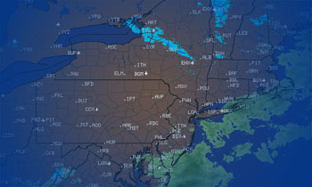
The Morning Blog – 01.09.22
Sunday, 09 January 2022
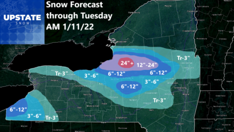
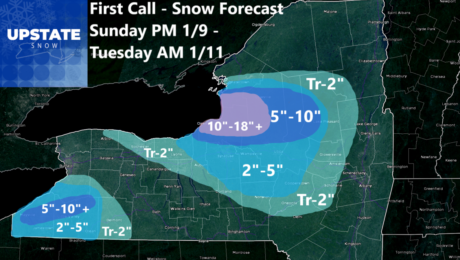
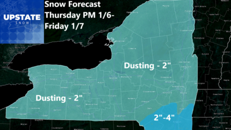
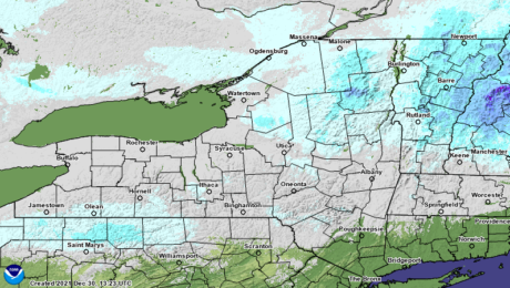
This is it. Don’t get scared now. We’re on the eve of the first significant lake effect snow event of the season. All of November and December with bupkis. Lakes still warm. Winter is finally showing up. It’s time to cash in. First of all, the snowfall map. Notice it is tighter with more detail.
- Published in Weather
The Morning Blog – 01.08.22
Saturday, 08 January 2022
A beautiful Saturday. Mix/Mess Sunday. Lake Effect guns on BLAST Monday. BITTER COLD TUESDAY. Quiet the rest of next week, remaining cold and nice for snowmobiling and winter weather enthusiasts. WHERE CAN I RIDE TODAY? I’ll start with the snow cover map just to reiterate we are WAY behind normal and trying to do something
- Published in Weather
The Morning Blog – 01.07.22
Friday, 07 January 2022
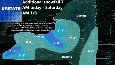
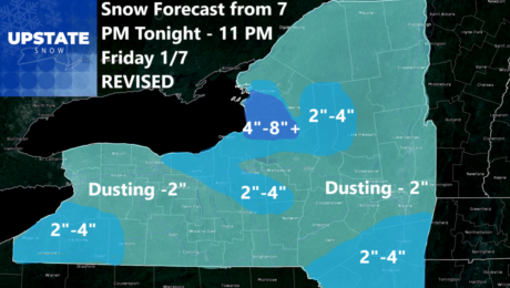
The cutter is “cutting” it’s way away from Upstate NY with little snow to show for it. Lake snows showed up big time, at or above expected ranges in NNY and especially in WNY where Buffalo Airport somehow verified the NWS 12-18 with a record 17.8″ snowfall! Too bad we can’t do loops around the
- Published in Weather
The Morning Blog – 01.06.22
Thursday, 06 January 2022
Ch Ch Changes! Several changes of note to the weather in the short term and in the longer term to get to. All of it impacts Upstate NY. Almost everything is a positive. Almost… WHERE’S MY LAKE EFFECT SNOW! The widely shared NWS Buffalo Winter Storm Watch since Monday afternoon for 12-18, in some areas
- Published in Weather
The Morning Blog 01.05.22
Wednesday, 05 January 2022
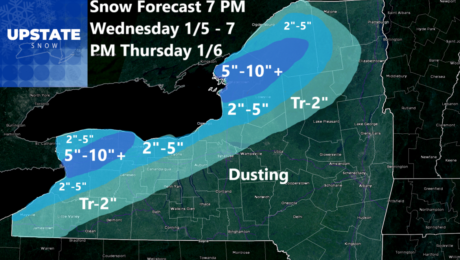
Lake effect still on schedule tonight through tomorrow downwind of Lake Erie and Lake Ontario with Buffalo and Watertown being ground zero for this event. The snow will start later tonight and really get going overnight and during the daytime tomorrow. With a 240-250 wind, and with model guidance relatively unchanged, I’m sticking with my
- Published in Weather
The Morning Blog 01.04.22
Tuesday, 04 January 2022
I have no idea what the hell the NWS in Buffalo is seeing. All the model data I have available to me indicates some lake effect snow, and several inches being likely. I have NOTHING that indicates 12-18 inches for the city of Buffalo and the city of Watertown. In all fairness NWS Buffalo is
- Published in Weather
The Morning Blog 01.03.22
Monday, 03 January 2022
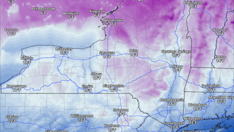
Baby got back… TO NORMAL! It’s amazing how NORMAL January weather feels so out of place, almost like cruel and unusual punishment. But here we are. It’s COLD out there! And will be for the foreseeable future. Single digits and teens in January are considered NORMAL for Upstate NY, in case you forgot. Temps today
- Published in Weather
The Morning Blog 01.01.22
Saturday, 01 January 2022
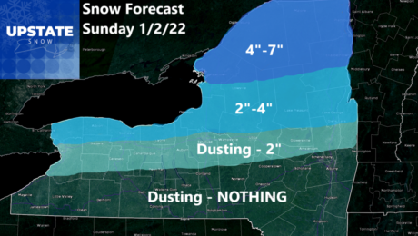
New Year… New snowfall map! Since this event is 24-36 hours away this snow should be close to “take it to the bank”. It’s not a lot, especially with hardly anything on the ground. But this winter, anytime it snows it is an “event” and every inch means SOMETHING… So the cold front will push
- Published in Weather
The Morning Blog 12.30.21
Thursday, 30 December 2021
Snow… where are you? Are you coming anytime before spring??? I wish I could say New Years Eve and New Years Day looked better. But it does not. Remaining warm with 30s and 40s common, fog at times, and occasional rain showers. It’s not blowtorch or a wipeout thaw, but given the piddly snowpack over
- Published in Weather

