The Morning Blog 01.19.22
Wednesday, 19 January 2022
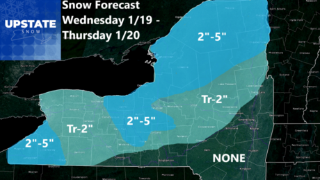
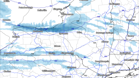
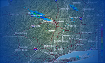
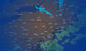
Ice Ice Baby… The return of the 90s rap icon tells you all you need to know. Forget the above freezing temps in WNY and the lower elevations of CNY and the Southern Tier… They are about to go BYE BYE! The culprit is a 1040+ mb HIGH moving from the upper Midwest into the
- Published in Weather
The Morning Blog 01.18.22
Tuesday, 18 January 2022
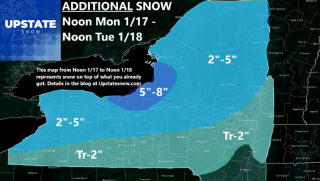
BRRRRR! After the snowstorm, the cold air built back in, and in a hurry! This will lead to much better grooming conditions for snowmobile clubs trying to open up across the state. For skiers, snowshoers, and other outdoor enthusiasts like ice fishermen, you are in your glory right now. The cold and snow the last
- Published in Weather
The Morning Blog 01.17.22
Monday, 17 January 2022
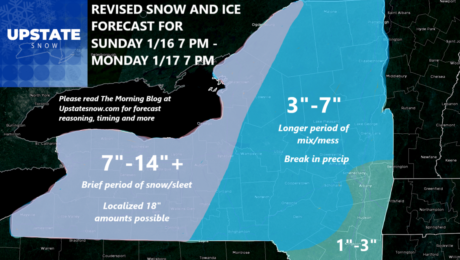
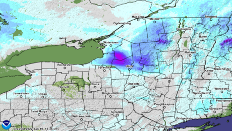
After a nice hit of snow, we have wrap around, lake enhanced and some lake effect to go. It will add to the totals and be shovelable/plowable snow but it will not be as big of a wallop that came through in the last 12-18 hours. This is the back side of the storm, these
- Published in Weather
The Morning Blog 01.15.22
Saturday, 15 January 2022
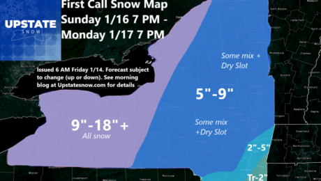
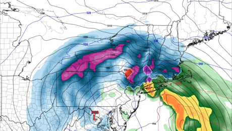
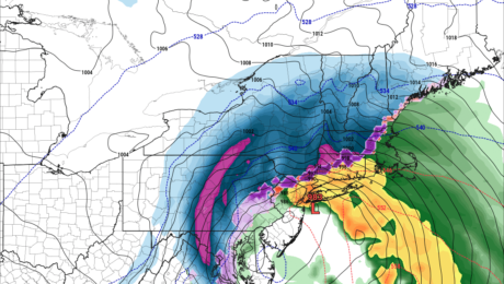
Changes to the forecast, with sleet and freezing rain pushing farther north and west from the low, will necessitate a lowering of the snow totals by just a little bit. It’s still gonna snow. Western NY will still get the jackpot and be mostly snow with this, especially Rochester and Buffalo. But CNY, Southern Tier,
- Published in Weather
The Morning Blog – 01.14.22
Friday, 14 January 2022
Against my better judgement to wait another run or two, and with everyone putting out their forecasts from the NWS to TV stations to super hyper posts to drive clicks to radio station groups, I’m pushing my 84-hour limit rule to the limit. As of press time, the snow ends right at or just after
- Published in Weather
The Morning Blog 01.13.22
Thursday, 13 January 2022
Some things have become very clear over the last 24 hours. Some things are still blurry, and out of focus. But the general weather conditions for the next 5-7 days are all pretty close on all the models. It’s just the matter of the dang DETAILS of exactly what, where and when… Today we have
- Published in Weather
The Morning Blog 01.12.22
Wednesday, 12 January 2022
Well that changed fast! 24 hours ago both long range models shot the monster Nor’easter for Sunday and MLK Day (Monday) off the coast and was ready to bomb Nova Scotia with a Category 2 hurricane, like 964 mb! Shortly after yesterday’s blog was posted, the 12Z run came down and everything changed. All of
- Published in Weather
The Morning Blog 01.11.22
Tuesday, 11 January 2022
Dang it’s cold out! Snow’s over. The bullseye area, the 12″+ snows I hit almost PERFECTLY. The rest, especially south of the thruway… well… UGLY. I’m really sorry the 3-6, and localized 6-12 south of the Thruway didn’t materialize like I thought. I live to fight another day. Such is lake effect. This storm is
- Published in Weather
The Morning Blog – 01.10.22
Monday, 10 January 2022
So while all the attention is on the heavy lake effect snow today… what about tomorrow? Wednesday? Later this week? Beyond? Well, here’s my best shot as of this morning. BRUTAL COLD Regardless of whether or not you have the lake snows at any point today, tonight or tomorrow morning, it’s freaking COLD! Tonight and
- Published in Weather


