The Morning Blog 12.18.23
Monday, 18 December 2023
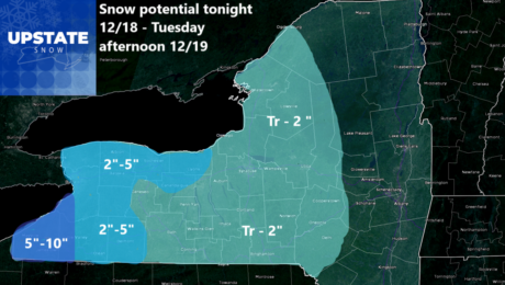
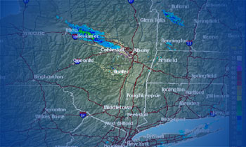
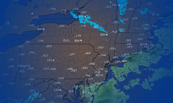
It figures as much that after I go on a spree of NO SNOW UNTIL _____, we get… well… SNOW! It’s not for everybody. It won’t stay around. Even in far Western NY where amounts could reach 10″, with temperatures running at or above normal with sunshine starting Wednesday, it is highly unlikely any snow
- Published in Weather
Trail Talk Thursday 12.14.23
Friday, 15 December 2023
Riding the trails through 12/20/23 – Minimal riding, best through Saturday Riding the trails 12/21 through 12/27 – *BUZZER* Game Over! No riding It started off as the coldest morning of the season with temperatures in the single digits and teens across Upstate NY with a strong high pressure overhead. That’s going to lead to
- Published in Weather
Trail Talk Tuesday 12.12.23
Tuesday, 12 December 2023
Chances of riding through 12.18 – Some minor riding but nothing long lasting Chances of riding 12.19 through CHRISTMAS DAY – *BUZZER* Sorry! You’re wrong! Thanks for playing our game! Good morning. First of all, I am SORRY for what was probably my biggest miss of the year forecast wise. The storm ended up being
- Published in Weather
The Morning Blog 12.10.23
Sunday, 10 December 2023
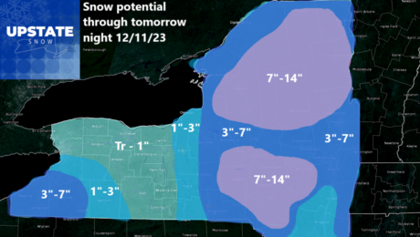
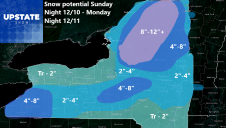
Our storm is over us now. It’s warm and it’s wet! Any leftover snow, with the exception of the highest amounts of snow on the Tug Hill, has been melted away and we are back down to bare ground just about everywhere. What happens between 7 PM tonight and 7 PM tomorrow night is a
- Published in Weather
The Morning Blog 12.09.23
Saturday, 09 December 2023
Good morning! Even though temperatures are above normal… as in way above normal… as in the 40s and 50s above normal… what goes up, must come back down! Sunday Night through Monday Night has been established as the window of opportunity, about 12-24 hours worth, with accumulating snows to come on down. Here are the
- Published in Weather
I’m here! Snow will be here soon!!!
Friday, 08 December 2023
Hello everyone! I am so glad to see you again after nearly a week long break. So what happened? Well after I let the weekend spill off with not much rain or snow to deal with, I was about to write out my usual start to the snowmobile season report for the Adirondacks. That. Didn’t.
- Published in Weather
The Final Winter Weather Outlook 2023-24
Friday, 01 December 2023
It’s December 1st. It’s the final countdown. And because of all the changes to the weather, particularly in the last week, it has got me thinking. Hard. Will it still just be yet another mild winter? Will it actually go towards “normal”. Will we defy the odds and go to an above average snowfall year?
- Published in Weather
Trail Talk Thursday 11.30.23
Thursday, 30 November 2023
Chance of snow through 12-6-23 : 33 percent Chance of snow 12-7 through 12-13: 90 percent Well have you had a blast the last 4 days? Have you enjoyed this unusually heavy lake effect dumping for November? Are you still having some snow to dig out and clear out today? Well take advantage of today
- Published in Weather
The Morning Blog 11.29.23
Wednesday, 29 November 2023
Well what’s left of the Lake Effect snow showers and squalls has lifted well to the north. Most of the activity is in the Buffalo to Rochester areas, also even reaching as far east as Syracuse and Utica off Lake Erie (not with much). Lake Ontario’s snow band has gone to the Watertown area with
- Published in Weather

