Whoa Nelly! Holy cow the snow that fell across parts of Upstate NY! Some areas saw very little snow. Some saw more. Others, like places on the Tug Hill, got a KILLING! It was by far the greatest snowstorm since the 2022 Buffalo Super Snowstorm and the 2020 Blizzard Warning which dumped 3-5 feet on Tug Hill at the end of February 2020. We haven’t had a whole lot to get excited about, but this one was one!
Here, as of 5 PM Tuesday 11/28/23 are the Snowfall totals. Courtesy NWS Offices in Albany, Binghamton, Buffalo and Burlington:
5 Mi W Constableville – 23″
Redfield – 21.5″
Osceola – 20″
East Aurora – 8 – 16″
Farnham – 15.0″
Hamburg – 14″- 16″
Orchard Park – 12 – 14″
Varysburg – 13.8″
Old Forge – 13″
Brantingham -13″
Glenfield – 13″
Constable Village – 12.5″
Lyons Falls – 12.5″
Delevan – 12.5″
Inlet – 12.0″
Arcade – 12.0″
Silver Creek – 12.0″
Richland – 10.5″
Mayville – 10.5″
Boylston – 10.2″
Cattaragus – 9.0″
Yorkshire – 8.0″
Cassadaga – 7.2″
Dayton – 7.0″
Elma – 7.0″
Gainesville – 6.5″
Falconer – 6.0″
Olean – 6.0″
Jamestown – 5.8″
Point Rock – 5.7″
Richmondville – 5.0″
Fredonia – 5.0″
Dunkirk – 4.5″
Charlotteville – 4.5″
Franklinville – 4.0″
Alden – 4.0″
Attica – 4.0″
Middleburgh – 4.0″
NWS Binghamton – 1.9″
Rennsalerville – 1″
Jeffesonville – 1″
Long Lake – 1″
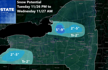
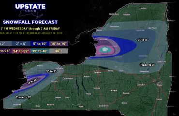
Here you see I was low on the Tug Hill. Many spots exceeded 20″ with some exceeding 30″. Even though not in these official reports, they are out there. Also the Southtowns of Buffalo. Hamburg, Orchard Park to East Aurora got NAILED and I did not expect the band to hit as heavy that far north. Their amounts were forecasted much lighter than what actually happened. As for the rest of the state, a few areas came in more than expected like to the SW of Albany in the Catskills and also in the Syracuse area where heavy lake effect snow with squalls continue as we write at 515 PM EST 11/28/23.
So what is going to happen the next 24-36 hours? Well by the time I put out a snowfall map it probably won’t do much good so I will avoid that. I will however guide you through what these bands do from here:
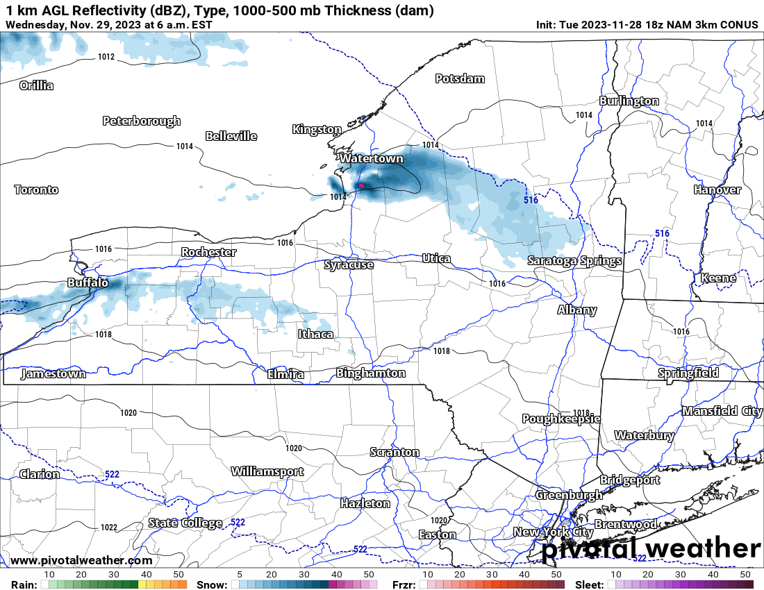
Lake Effect snow showers and squalls will be lighter but continue off of Lake Erie. Instead of the bands being well to the south of Buffalo like they are now, they will come back right through the Southtowns and into the City of Buffalo by tomorrow morning. Meanwhile off of Lake Ontario, the snow hitting the Syracuse area, Madison County, and the hills south and west of Utica/Rome, those bands will lift back to the north and be positioned by tomorrow morning back across the usual dumping grounds of the Tug Hill and the Adirondacks. One more time.
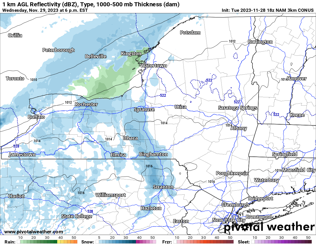
Come Wednesday Afternoon into Wednesday Evening, the winds shift full to the SW, bringing an end to most of the lake effect. But these SW winds will be ahead of the next disturbance rolling on through Upstate NY, PA, and into New England. Snow showers with occasionally heavier snows are possible with this area. It should only last 4-8 hours. Accumulations shall be for the most part between a Dusting and 2″ with isolated amounts that are higher.
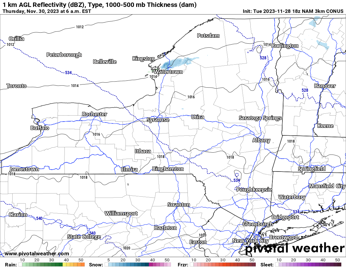
Finally! A map I have not seen in 3-4 days! A quiet one! Most of the snow showers and the heavier snows are GONE. Only some light localized snows being shown in Jefferson County off of Lake Ontario. With warmer air being strongly indicated moving on in, and dry weather ahead, the forecast for Thursday is for SUNSHINE! Highs then shall reach above freezing, from the mid 30s in the Adirondacks to the mid 40s in the cities and lower elevations, especially south.
There are more storms Friday and going into this weekend that are on the map. These will be more of a rain to a rain/snow mix, with snow a much better chance in the higher elevations. Seeing as how we are 4-7 days out on them, and the fact models are showing different things, I am asking for tomorrow and Thursday to digest before I make my predictions on those systems.
Next week (December 3-10) looks relatively dry and temperatures start milder, then plumet with lake effect snow possible again in the day 8-10 range.
Thank you so much for hanging out with me this Tuesday evening!
Rich


