Riding the trails through 12/20/23 – Minimal riding, best through Saturday
Riding the trails 12/21 through 12/27 – *BUZZER* Game Over! No riding
It started off as the coldest morning of the season with temperatures in the single digits and teens across Upstate NY with a strong high pressure overhead. That’s going to lead to lots of sunshine this afternoon and temps just barely getting above freezing. It will not be anywhere near as cold tonight. Tomorrow with sunshine, temperatures shall rise into the 40s over most of the state which should begin the quick meltdown (what is left) of the snow pack.
Saturday increasing clouds and by Sunday cloudy skies shall rule with temperatures in the 40s and some lower elevation locations pushing above 50 degrees. There is no way you can hold snowpack around for very long in these conditions.

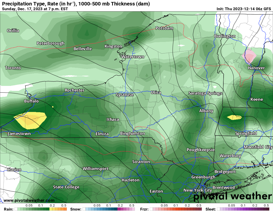
Late Sunday, through Sunday Night and through most of the day on Monday, with a warm southerly flow from the Gulf of Mexico firmly in control, this should blowtorch the rest of the snowpack, whatever is left, by Monday evening. On the back side of this storm, colder air comes in, rain changes back to snow, but just how much? Not much at all. Any ideas for a bigger snow event went blank days ago and it’s still blank.
Most of the rest of next week going into Christmas weekend shall be at to above normal. Yet again. Any storms that try to approach shall have their moisture strained out of them. Unless something huge changes, and fast, we are looking at our 5th Green Christmas in a row. The question is when does the pattern shift back to snow and cold. I can’t tell you that right now because it’s beyond my range.
It is what it is. I’m sorry. I’ll report again another few days. Even if it continues to be depressing.
Rich


