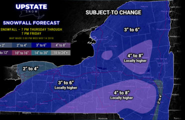
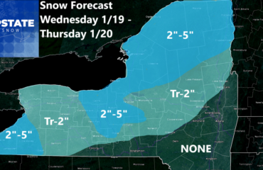
Chance of snow through 11.22.23 – 90 Percent
Chance of snow 11.23 – 11.29.23 – 90 Percent
Yep! We are getting into that time of year to where when it is going to precipitate, it is much more likely to be in the form of snow, or at least a mix of rain and snow. Indeed that is what we are looking at this weekend and particularly next week, the week of Thanksgiving. Here is what I know based off of the latest data:

After 50s to near 60 this afternoon, then 50s and 60s tomorrow, a strong cold front comes through Friday afternoon and into Friday Night. I don’t want to think about the steady rain and falling temps, and a possible mix or change to snow overnight on Friday, but this is the time of year where storms will bring 20-30 degree drops in a short time. This is one of them. During the daytime on Saturday, don’t expect to climb out of the 30s north of the Thruway, with 40-45 from the Thruway, southbound.
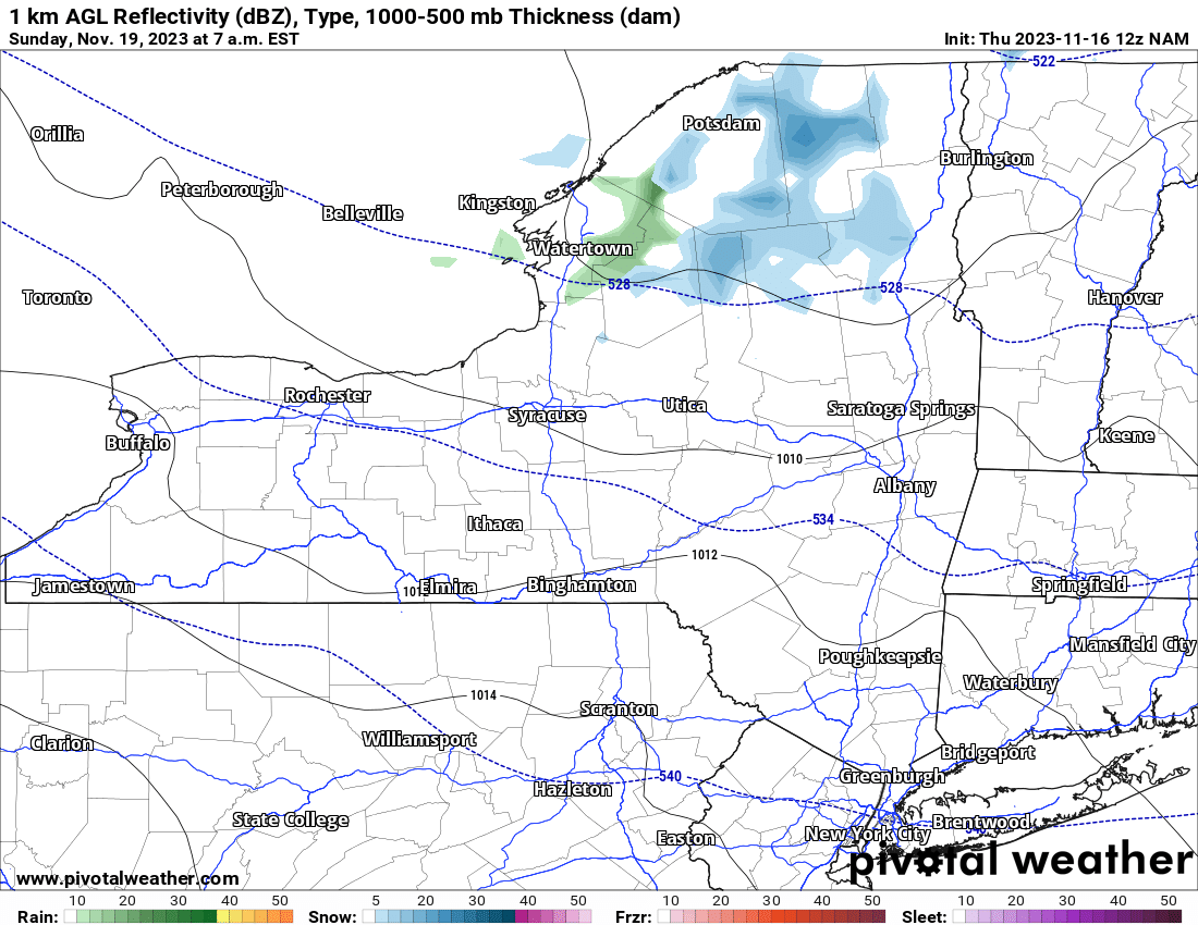
On Sunday morning it’s just COLD with teens and 20s all across Upstate NY. North of the Thruway, closer to the next shortwave diving to the south, we shall see our next chance of snowfall. Since this should be all snow, areas north of the Thruway should see about a dusting of snow. Localized areas could see up to an inch or two, mainly across the Tug Hill and the higher elevations of the western Adirondacks. These snowfall amounts will be localized. Then it gets quiet and sunny for Monday with temperatures getting above freezing everywhere, if anything, into the 40s from the Mohawk Valley and the Thruway, southbound. That should melt, again, any minor snows that hit this weekend. Looking farther ahead, we look to two of the biggest travel days of the year: Tuesday and Wednesday. The two days before Thanksgiving. And I’m looking at the latest 12Z model that literally just came out moments ago here on this:
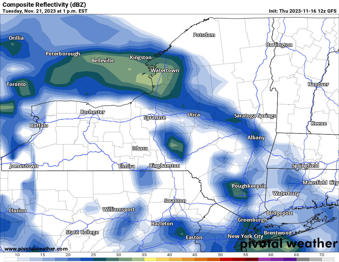
This is the latest 12Z GFS showing a band of steady snow moving up through Upstate NY during the DAYTIME… which just happens to be DRIVE TIME for many folks. It may not be for you, and I understand it is Day 5 at this time, but you know with this type of precipitation likely unfolding for Upstate NY Monday Night and going through Tuesday Night, with additional Lake Effect Snows to the north of Lake Ontario rolling through Thanksgiving, I am definitely going to keep my eye on it.
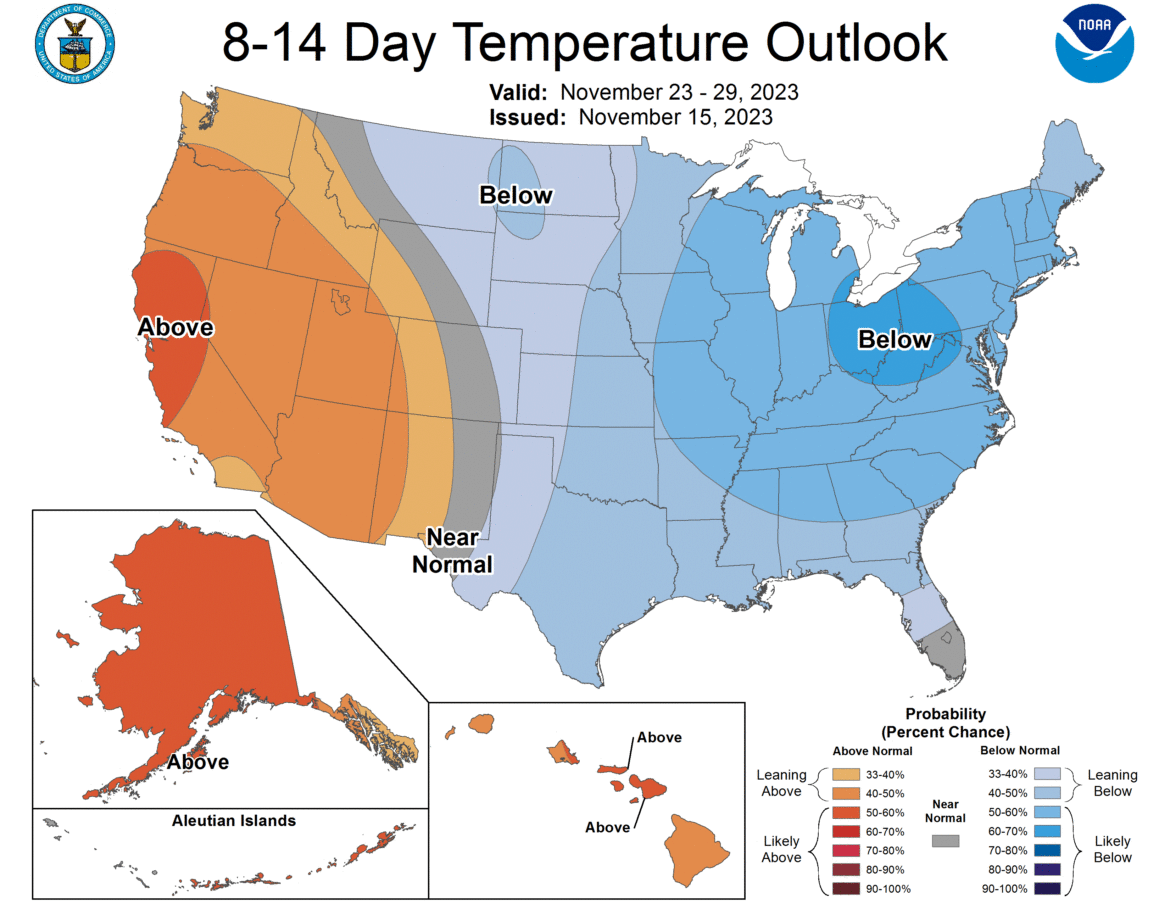

Looking at Thanksgiving Weekend and into the last days of November, we still definitely have a shot at some Lake Effect Snows. And some decent ones at that. Go back to my discussion yesterday in the Second Winter Weather Outlook about that. We will definitely see cold days and very chilly nights. Teens to 20s at night, if not a few nights falling into the single digits. Highs shall average in the 30s, with a few days near to below freezing from Thanksgiving to the end of the month. I have no idea if we will end up around normal, above normal, or below normal with that last week blast of cold. Please stay tuned. December 1 and the final Winter Weather Outlook for 2023-24 is coming.
Rich


