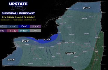
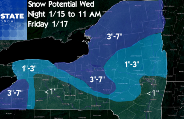
The lake effect snows did get cranking into a heavy band last night and that’s why many across Upstate NY, even in the Capital Region, are waking up to “bonus snow”. Usually when winds get up into the 40-60 MPH range off Lake Ontario and you have some directional shear, the bands tend to look more like “spray” off the lake, like buckshot, rather than a big “stream”… well the winds and shear aloft were not enough to break it apart so that’s how that band got rocking from Rochester, to Syracuse, to Albany, to the Berkshires of Massachusetts. By this afternoon it’s but a memory as high pressure approaches and winds die off by tonight.
Next storm approaches tomorrow PM into Thursday AM (New Years Eve) and we are on the warm side of this one. You’ll notice a theme developing in the blog here…
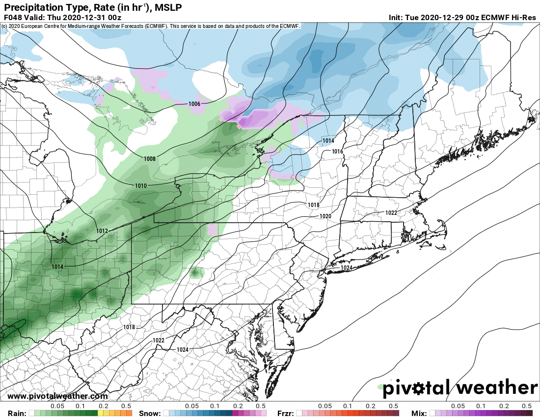
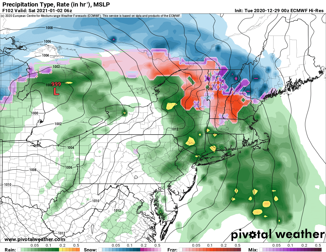
We ring in the new year quietly in terms of weather but the afternoon of New Years Day (Friday) into Saturday AM is another story… as the next weather system approaches, going north and west of Upstate NY, meaning maybe some frozen precip to start but warm and rain take over as the storm moves through.
We are quiet into the first weekend of 2021, but we have a big problem developing into 2021’s first week. I mentioned in the previous blog, the pattern not being favorable for cold and snow first week of January 2021. Here’s your evidence of it in the 850 temps (1 mile above ground) across the US and Canada. Forget the fact our 850’s next week are ABOVE ZERO, IN OTHER WORDS ABOVE FREEZING… so just over our heads a mile above it’s in the 30’s and 40’s… not boding well for cold nights or frozen precip of any kind over us… BUT LOOK AT CANADA. OH CANADA… WHERE OH WHERE IS YOUR COLD AIR??? You need the purple colors on the map to ensure below 32 F by day and temps in the single digits to near zero at night. You also need the white to purple colors to initiate lake effect snow. Notice how far away it is from Upstate NY by the end of next week 🙁

Lets put it this way, by Central and Eastern Canadian standards for January, that’s a heat wave. So if it’s going to take a week to get like that, you can effectively stick a fork in the first half of January 2021. Unfortunately.
Bottom line: You can ride limited areas of the Tug Hill and WNY. The riding is not great, where there is riding, but the point is, you can ride if you trailer, don’t count on county road smooth trails and are happy doing 20-40 miles just being out there and not stuck inside rather than wait on great conditions which clearly are not coming anytime soon. Always check with clubs where you want to ride, be very careful, expect marginal conditions where there is riding. And with the rain and milder temps in the forecast coming up, expect things to change rapidly and not for the better. Sorry I wish the news was better.
Rich


