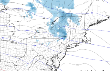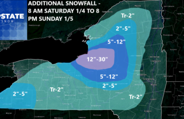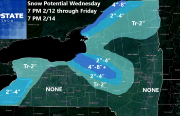
Another in a series of very “light” snowfall events by Upstate NY standards rolls its way through Upstate NY beginning this afternoon through tonight as a weak clipper flies by. Behind the clipper will be a brief lake response which should just be enough to add a few additional inches for folks mainly north of the Thruway. This lake snow will be focused overnight and into the morning drive tomorrow. As the sun rises and the winds shift quickly to make way for the next system, any lake snows will cease by afternoon time tomorrow. Hence this snowfall map is today through tomorrow morning.

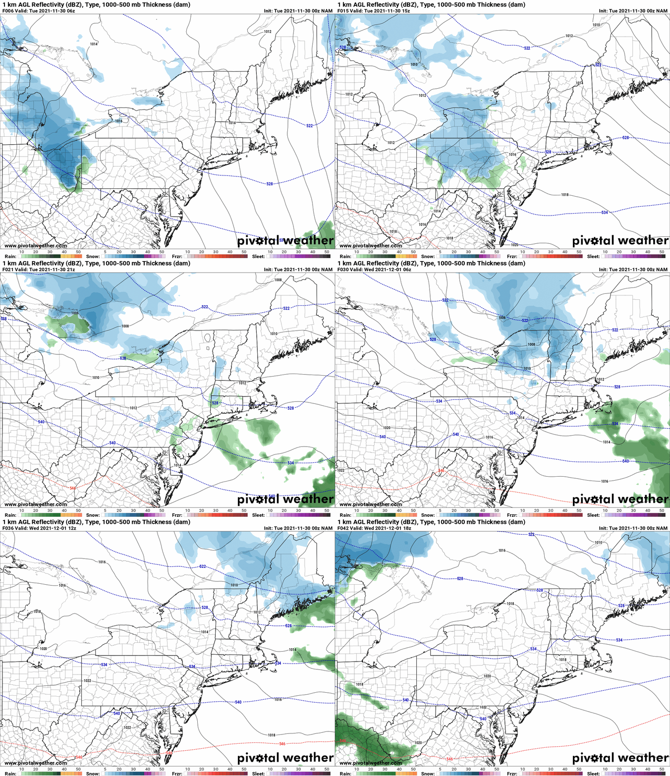
Next system rolls through on Thursday, only this time the track of the storm is to the north and west of Upstate NY. This allows a warmer southerly flow to develop. With temperatures that have been chilly across the Mid Atlantic and Southeast over the last week or two, beginning to moderate back to “above normal” for this part of the country, it’s only going to take a little bit of that warmth ahead of the Thursday storm to push surface temperatures well into the 30s and even into the 40s, especially across CNY, Southern Tier, Finger Lakes and WNY. That’s going to force any snow to go over to rain, even in the higher elevations which is exactly what the scenario below on the NAM model shows. But it also shows our microclimates… and that warmth will NOT make the Adirondack Park. Higher elevations above 1000 to 1500 feet will be JUST cold enough to where it should stay snow. So while Utica, Syracuse, Rochester and Buffalo go 38-43 with rain on Thursday, Old Forge to Lake Placid will be at or just above 32 with their own private little snow event underway.
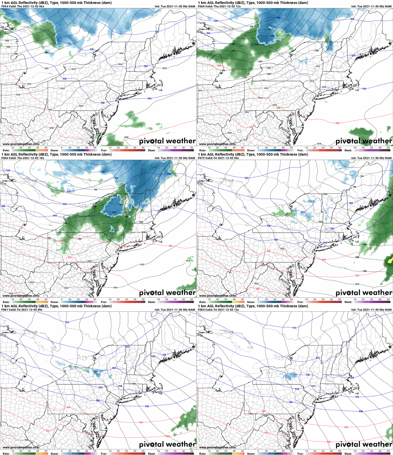
If this stays all snow for the duration, until the cold front clear and lake effect develops in back of this thing, the Adirondack Park could be in for potentially several inches of heavier wet snow. This is base building type of snow. With Thursday being December 2nd and the start of the snowmobile season for Old Forge/Inlet and Hamilton Counties, big snowmobile meccas in Upstate NY, being sundown on Sunday December 5th, this is what you want to root for. Heck, PRAY FOR. If this scenario comes to pass, and we can keep it cold, there is a chance it might be JUST ENOUGH to get some of the first rides in next week for the start of the snowmobile season. Two degrees and it’s gone. Another down to the wire, photo finish to try and squeak out any hope for snowmobilers. But here it is. We are watching and there will be both a call and a snowfall map on this scenario in tomorrow’s Morning Blog.
Beyond this, the weather pattern going into the first 10 days of December has some headwinds in it. Even if we get the snow, it’s going to be a close call flirting with disaster. MAJOR WARMTH is scheduled to build across the Mississippi Valley, Ohio Valley, Southeast and Mid Atlantic. How warm? Short and short sleeves weather warm. Second half of this week here in the Carolinas will push decisively into the 70s with some 80 degree temps near the coast. It could get as far north as Virginia and Maryland. You can’t have that kind of warmth a few hundred miles away from Upstate NY while having at or below normal temps, cold and snow building. You’d have a ton of wind, a very fast jet stream and very fast moving storms overhead but…
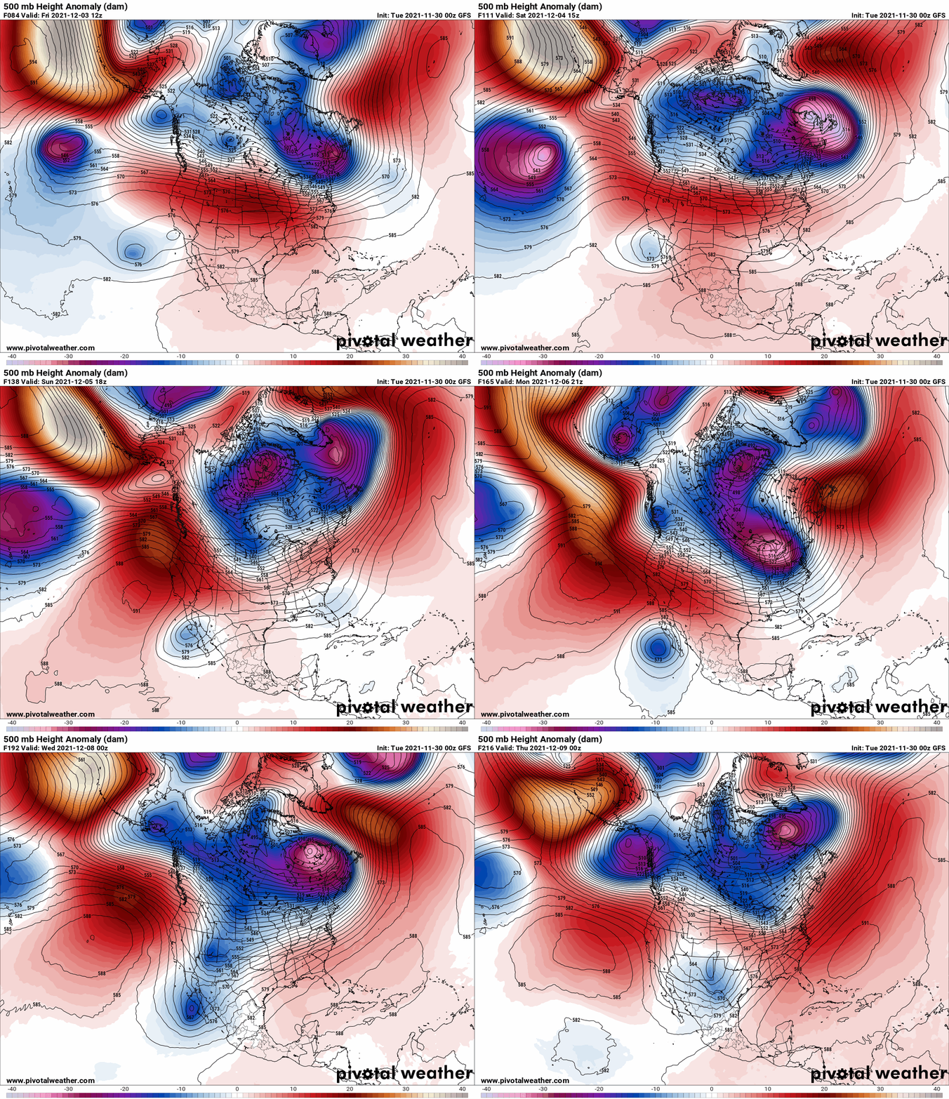
Well… thanks to the Alaskan Assasin losing strength, the Polar Vortex coming squarely into Hudson’s Bay and approach 60 degrees N latitude in position, and a monster Atlantic/Newfoundland low developing just to our east, this means big pattern change with big swings. 200 miles N of Upstate NY it’s below zero. 200 miles S of Upstate NY, it’s literally springtime or Indian Summer, whatever you wish. And Upstate NY first weekend of December going into the second week of December, will be in, THE BATTLE ZONE. Fast moving storms. Wild temperature swings. Snow. Rain. Wind. How much of what, where and when it’s just too early to tell. But the eyes will be on this pattern change in the coming days, and whatever comes of it. It may work out just fine. We may get wiped out. The answers could change daily. Hope. And pray. Because snowmobile season will start next week in the Adirondacks and the week after that in Tug Hill. December is tomorrow. We are playing for keeps now. And the way this winter is shaping up, any chance you get to ride, go ride.
The final winter weather outlook will be published tomorrow morning as promised.
I’d like to thank several folks for jumping on board as both members and sponsors of Upstate Snow. THANK YOU for your support of our continued efforts to bring the best in winter weather and snowmobile forecasting to Upstate NY. If you’d like to jump in and say “thank you” in this way, here’s how you do it:
For just $60, sponsors receive a hyperlink to your business or social media page on every morning blog and podcast post on upstatesnow.com for the season (until 8/31/22). For just $10, members get name recognition, or if you wish not to use your name, recognition to your favorite snowmobile club or where you live.
Click below to get started
paypal.me/lupiallc
www.venmo.com/u/Richard-Lupia
THANK YOU to our faithful sponsors and members!
SPONSORS
Southern Tug Hill SnoRiders
Saratoga Snowmobile Association
Ohio Ridge Riders
ILSNOW.com
Enjem’s Flooring America
Water’s Edge Inn – Old Forge
Adirondacks Speculator Chamber of Commerce
White Lake Inn
Toads LLC Fisher and Snow Dog Plows, Cairo, NY
John Schoff Memorial Vintage Ride – January 15, 2022
MEMBERS
Chris Rinck
Charles Kleese
Chaz Albertson
Dave Gleasman
John Bates
Darrin Harr
Mark Enjem
Matthew Pistner
Eric Vilovchik
Brian & Paula Bedell
Robert G. Gartley
Chris Higgins
Nathan DeMarco
Frank Presky
Chris Schoff


