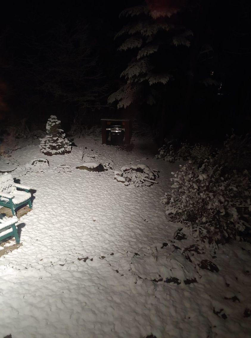
Good Friday morning! Many across Upstate got their first snowflakes and/or accumulations of the season thanks the combo of a strong cold front and the leftovers of Hurricane Zeta, now dissipated off the Atlantic coast. But this is it for today. Clouds give way to sun. Canadian air charging in. And it’s gonna be chilly! Tonight will feature the coldest night so far of the season, not record cold but close, with most in the 20s by Halloween morning in the urban/suburban areas with teens in the ADKs and traditional cold spots, especially N of the Thruway.
Halloween is sunny and chilly. Bundle up the kids as temps fall quickly to near or below freezing under full moonlit skies tomorrow evening.
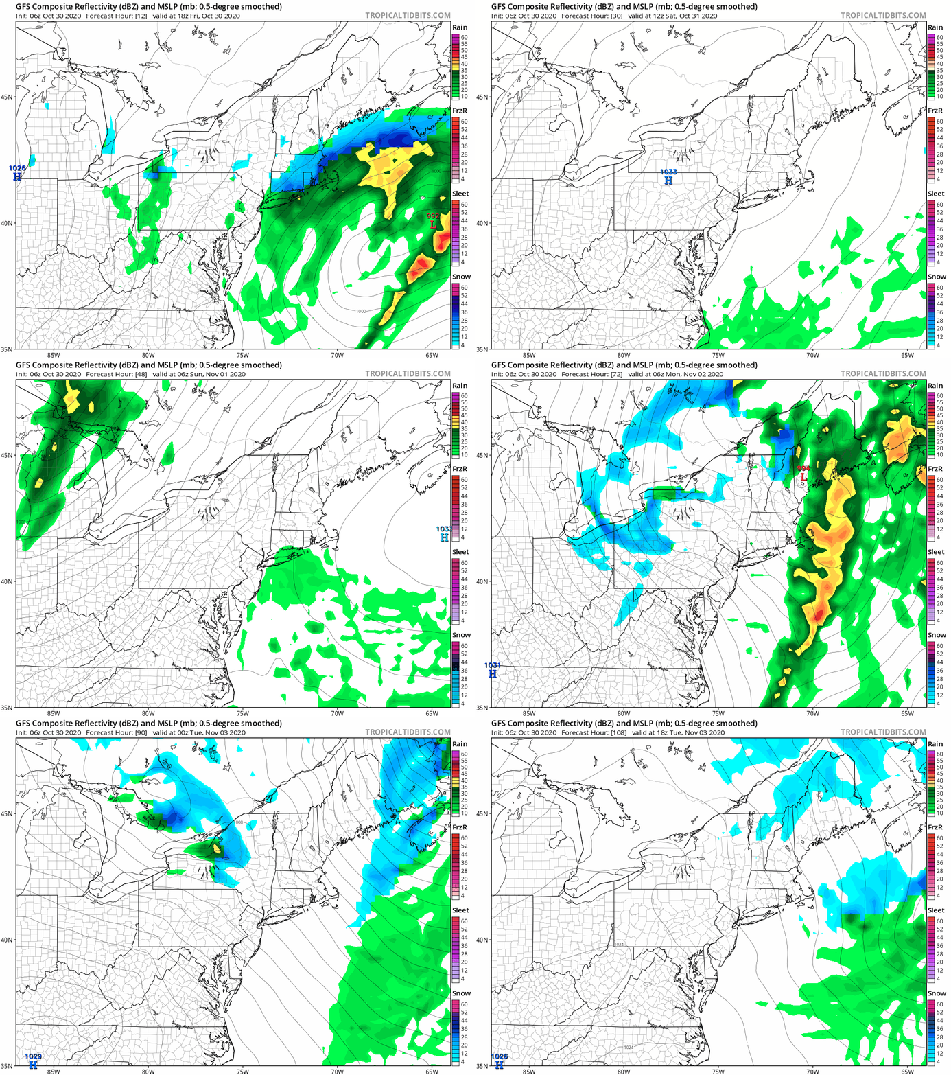
Sunday November 1 brings us an increase in clouds and our next weather system. Rain spreads across Upstate during the day, especially in the afternoon, but with another reinforcing shot of cold air behind it, once again rain will change to snow by Sunday night, especially across the higher elevations, Tug Hill and Adirondacks. Sunday Night into Monday, the first lake effect event of the season looks possible. Would not surprise me if several inches of snow off Lake Erie nailed the Southtowns S of Buffalo, Chautauqua County, as well as parts of CNY and the southern Tug Hill off Lake Ontario. That’s not an official forecast from 3+ days out but the trends and ingredients for lake snows do seem to be coming together. Another quick clipper behind that could bring another shot of general snows and lake enhanced snows Monday Night 11/2. If this does verify it would only be a few hours.

While some could wake up white on Tuesday, Election Day, the clouds will give way to sun and weather conditions will be quiet for travel and voting.
Middle to end of next week the cold snap is a memory as 50s and 60s flood back into Upstate. It’s still way early for sustained cold and snow. Remember average highs this time of year are 45-55 and average lows range in the 30s across Upstate. The weather over the next week is not unprecedented… it’s just an active pattern.
Have a great and safe weekend! Snow map will hit on the next morning blog either tomorrow or on Sunday.
Rich
_____________________________________________________________________


