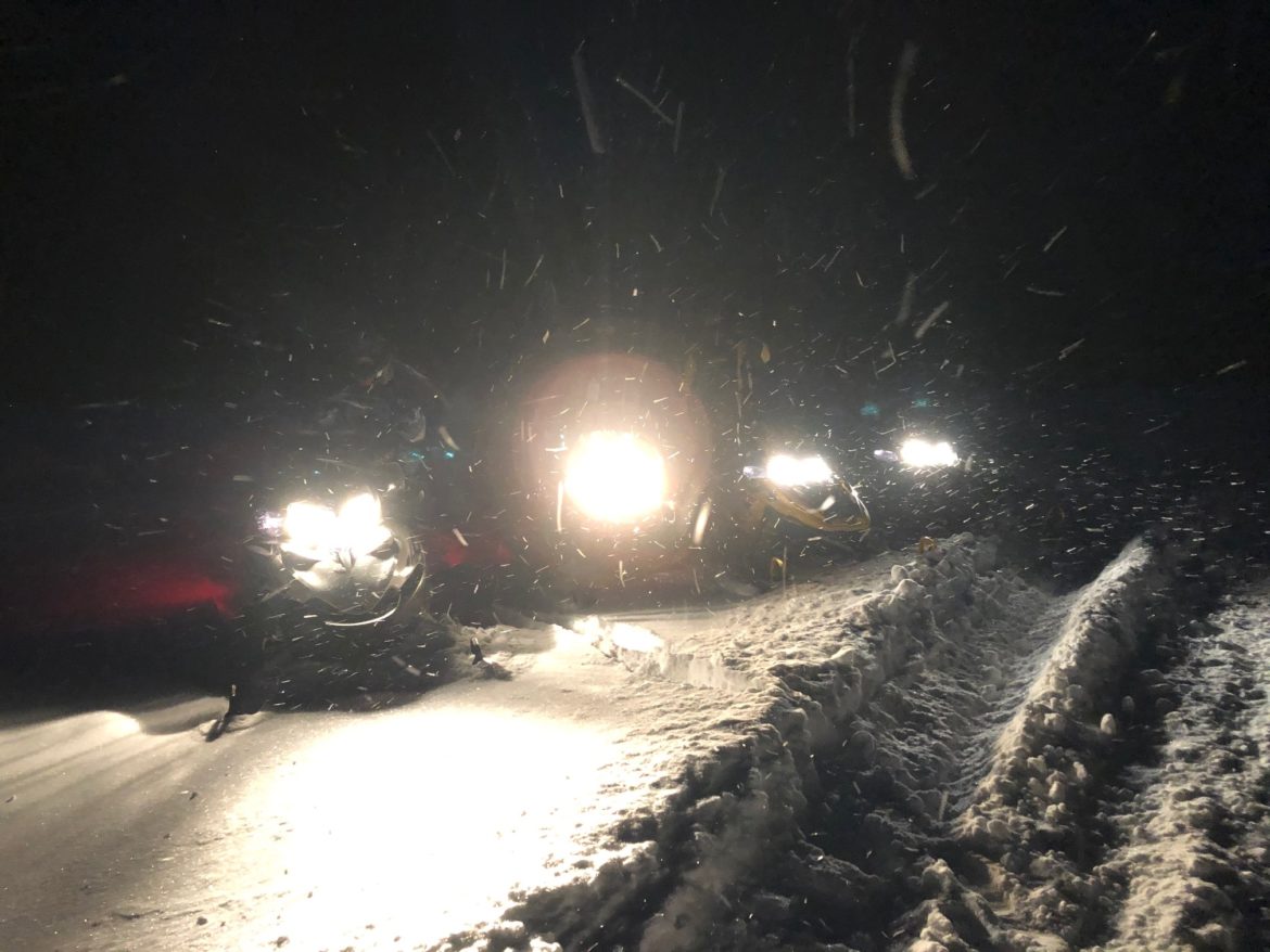
We are back in business! A lot more territory is open for snowmobiling than last week and more miles of trails are likely to be added this week. While snowfall amounts have overperformed and we have snow still coming down today, especially in WNY S of Buffalo, the temperatures still remain mild. The combination of heavy traffic and lack of cold, plus lots of limbs down because of the winds in recent days, have made it more like early season conditions than the mid season conditions we’re used to at this point in the season. It will take this week to get trails, especially in WNY, the Tug Hill and Adirondacks up to the level you have been hoping for and waiting for.
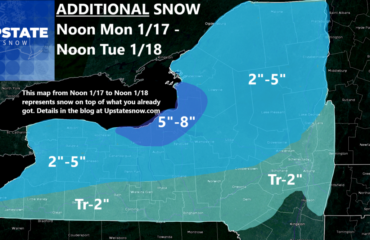
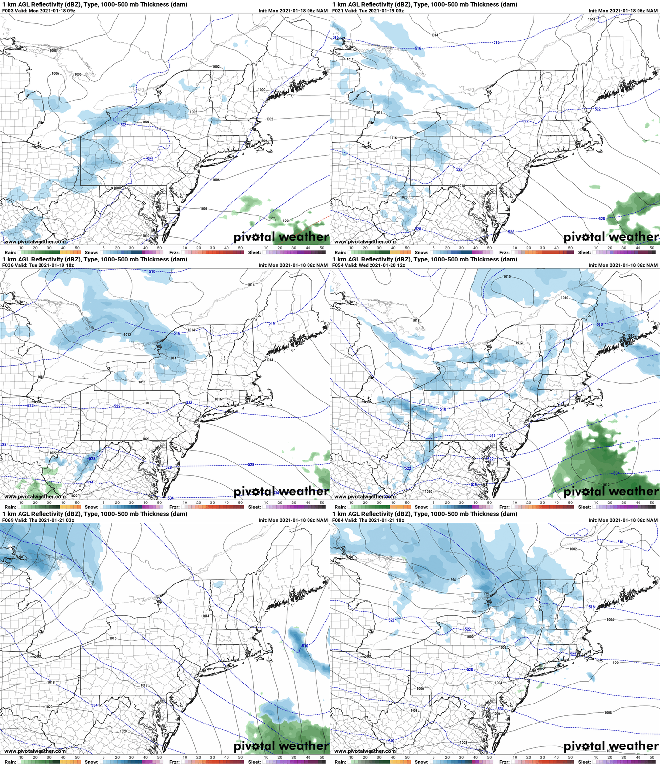
So what’s next? MORE COLD AND SNOW! As lake effect winds down today, the next round fires up tomorrow and tomorrow night as a trough and reinforcing shot of lake effect and enhanced snow comes at the Tug Hill and Adirondacks. Just Tuesday/Tuesday night alone could dump another half foot to a foot in persistent squalls and bands, mainly on the Tug Hill and into the Old Forge area. Another round comes late Wednesday into Thursday as you see here.
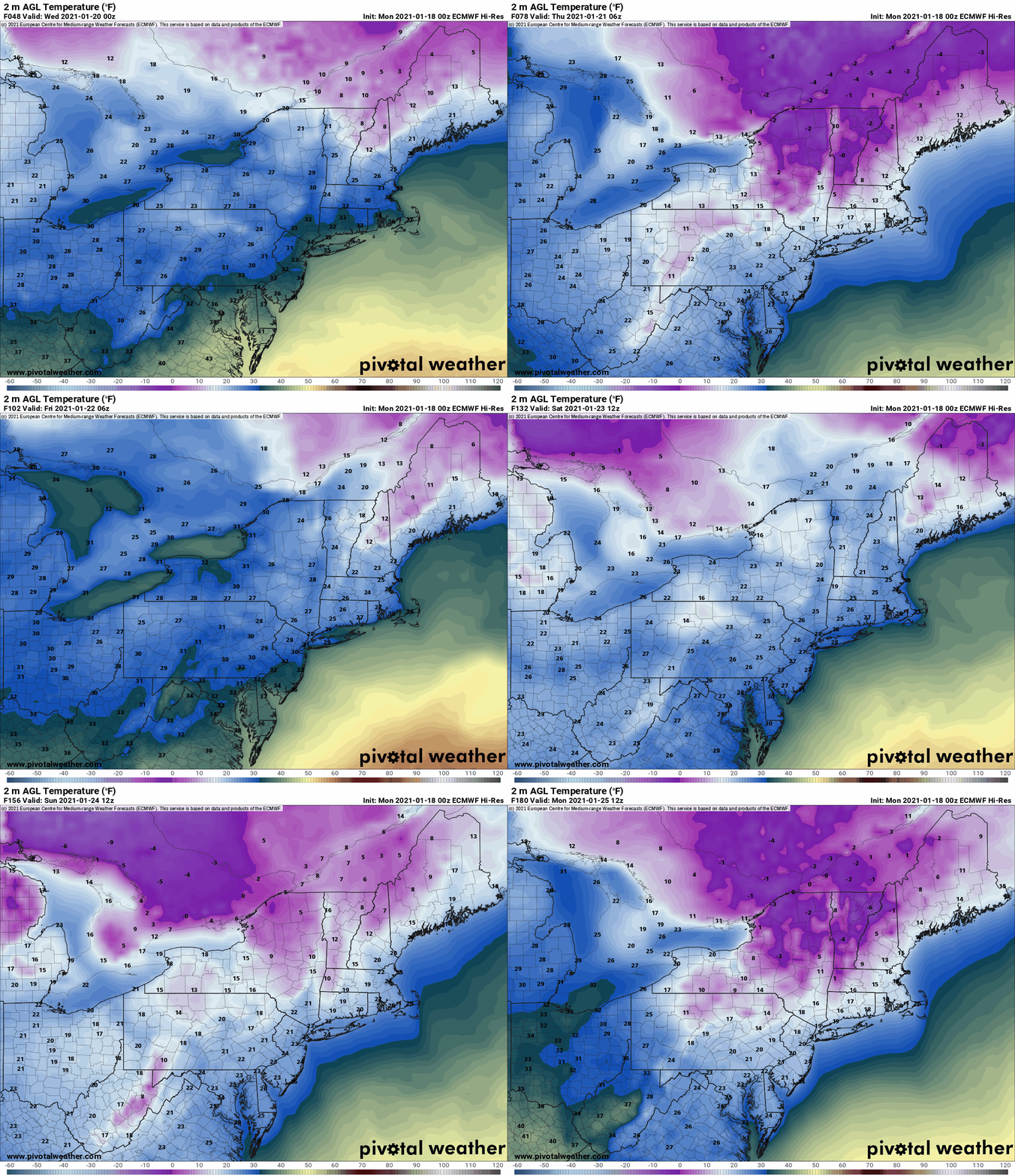
The air over the whole state gets colder during the week. With the exception of a brief warm up Friday, this weekend into early next week the coldest air of the season looks to come in with big Canadian high pressure set to our west. With a more northerly flow it will cut off most significant lake effect but it will freeze things down and set up clubs to make potentially the best conditions of the year. Some below zero temps for a few nights possible this weekend into early next week.
Bottom line: Yes it’s getting better but don’t wait. You can’t count on this pattern to last. Plan your rides, check with the clubs, but later this week, this weekend and early next week if you want to ride CARPE DIEM.
Rich

