There is hope on the horizon. Starting this weekend there will be a change in the weather pattern that will lead to better lake effect snow chances and colder temperatures. It’s not exactly what you want or what we need (Big Nor’easter followed by bitter cold temps falling below zero at night for several days afterwards)… But it’s better than what we’ve had. Rime ice, lack of sun and flurries (save for localized inch or two here and there over the Tug and higher elevations) can only take you so far.
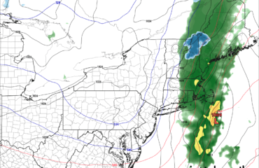
The big change starts with a storm system, a clipper, dropping out of the Canadian Prairies into the Ohio Valley. This storm system will initially send warmer temps in Upstate NY for a day or two at most, and by warmer we’re talking 30s in the higher elevations, 40s lower elevations. This storm system will eventually spawn a secondary low on the coast. Because the main storm well to our west is stalled and not powerful 1) The warm surge out ahead of it won’t be as bad as it could be and 2) The secondary low won’t be as strong as it could be.
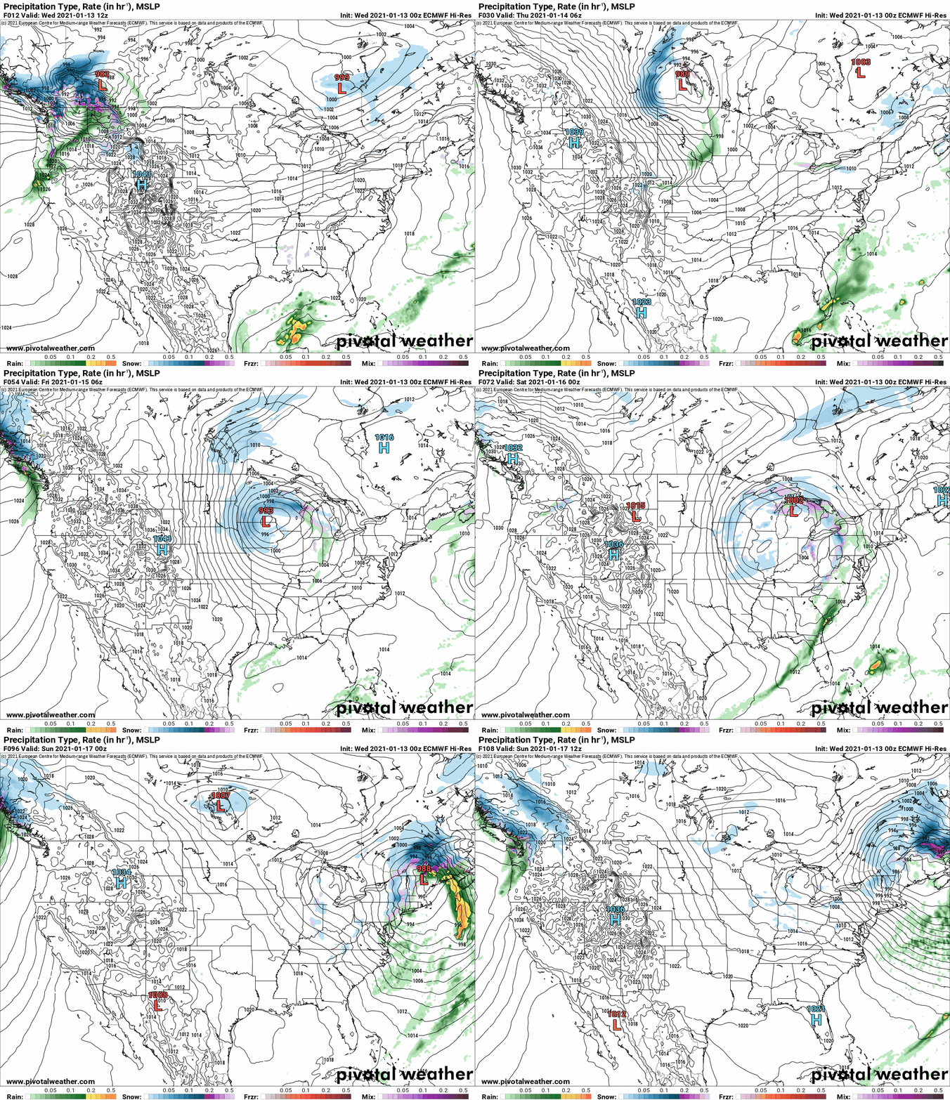
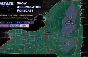
Yes colder air will blast in this weekend along with some accumulating snows, best shot east of I-81. Very hard to tell on accums at this point, a very rough early guess would be a potential for several inches, not certain, but unlikely to be a double digit snowfall at this time from the main storm. Heading into next week, Lake Effect snow will take over for at least a few days. Euro kills it by Tuesday but I believe it may go longer. This map is just to give you an idea.
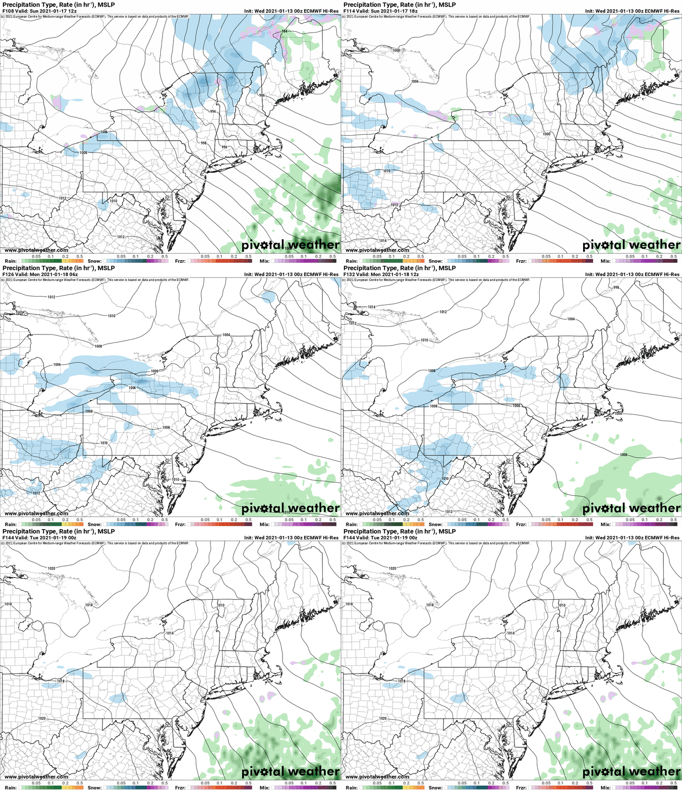
Again way too early on amounts but confidence is starting to grow that the snowmobile playground could be expanded. And of course replenish the Tug Hill, badly beaten by anyone who has had a chance to trailer up and ride the limited areas on variable conditions (sometimes great, sometimes ehhh…). The air is not particularly cold, but for the first time in weeks it’s at or below normal which will not only help with lake effect but help freeze things down even more next week. Even if you don’t get good lake snow next week, the even colder temps than recently will help freeze things down more and set you up for great conditions if you can get 5-10 inches of snow on top of a thin icy base. The good thing is the cold looks to stay put through all next week and beyond. This can only help things!
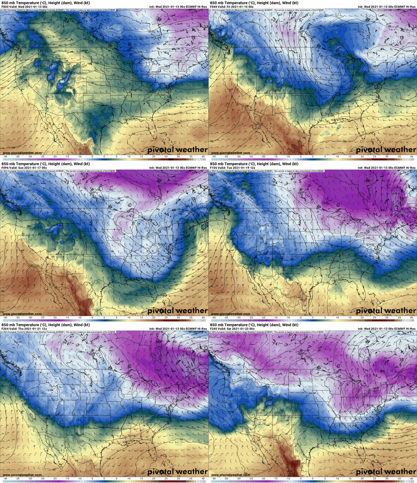
This cold air next week is pure Canadian grown, not Arctic or Siberian. That door is locked shut and the key has been thrown away. -15 to -20 C air at 850mb is nothing to write home about. -20s to low -30s, that’s legit Arctic and/or Siberian air and as you see we are not at that level. That being said, next week is a building block towards better snowmobile days ahead, and I truly believe that late January into February is our best shot of anything, period. With the upper air patterns not favoring Arctic outbreaks and cross polar flow, it’s cold air over Central and Eastern Canada that will save anything. But as the days get longer and as their snow cover in Canada is not what it should be, the ability to generate cold air later into February and March will dim as sun angles get higher. Unless if a true arctic outbreak and or Siberian express settles into the Northeast at the end of the winter, our winter is now and you need to take whatever you can get, when you can get it.
Catch up with you soon!
Rich

