Since it has been a very quiet week for Upstate NY, lets look ahead for the next week or two and see if we will stay in the doldrums.
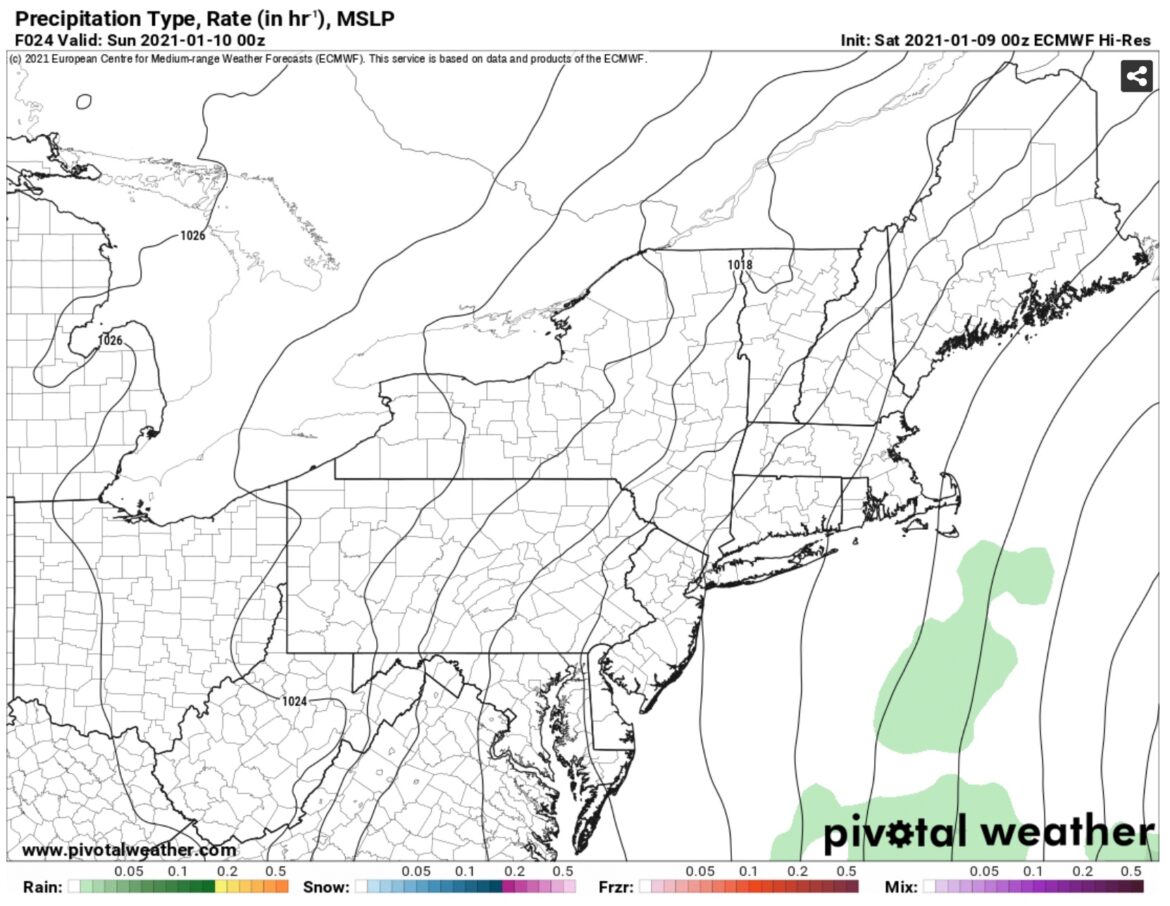
The storm that just produced a cold rain and mainly mountain snows across the south has shot off Cape Hatteras and is not coming anywhere near the coast or the benchmark. It’s quiet the next few days. There are some indications a weak clipper could zip by around Tuesday. Even if that happens, it won’t be much to talk about. Oh and the second storm that was going to hit the south around Tuesday that the Euro was taking up the coast into a Nor’easter??? Yep… GONZO…
We still have around one week to go before any significant precipitation across Upstate NY. That’s the bad news. The good news… temps will stay near normal to a little above normal. No big thaws but no sustained at/below zero cold or lake effect events on the horizon that is one week.
So looking ahead to next weekend into the week of January 17 and beyond, notice the Euro is showing changes. The Pacific Jet Stream gets screaming in this time period, a big west coast ridge develops, and it looks like a big east coast trough gets set up.
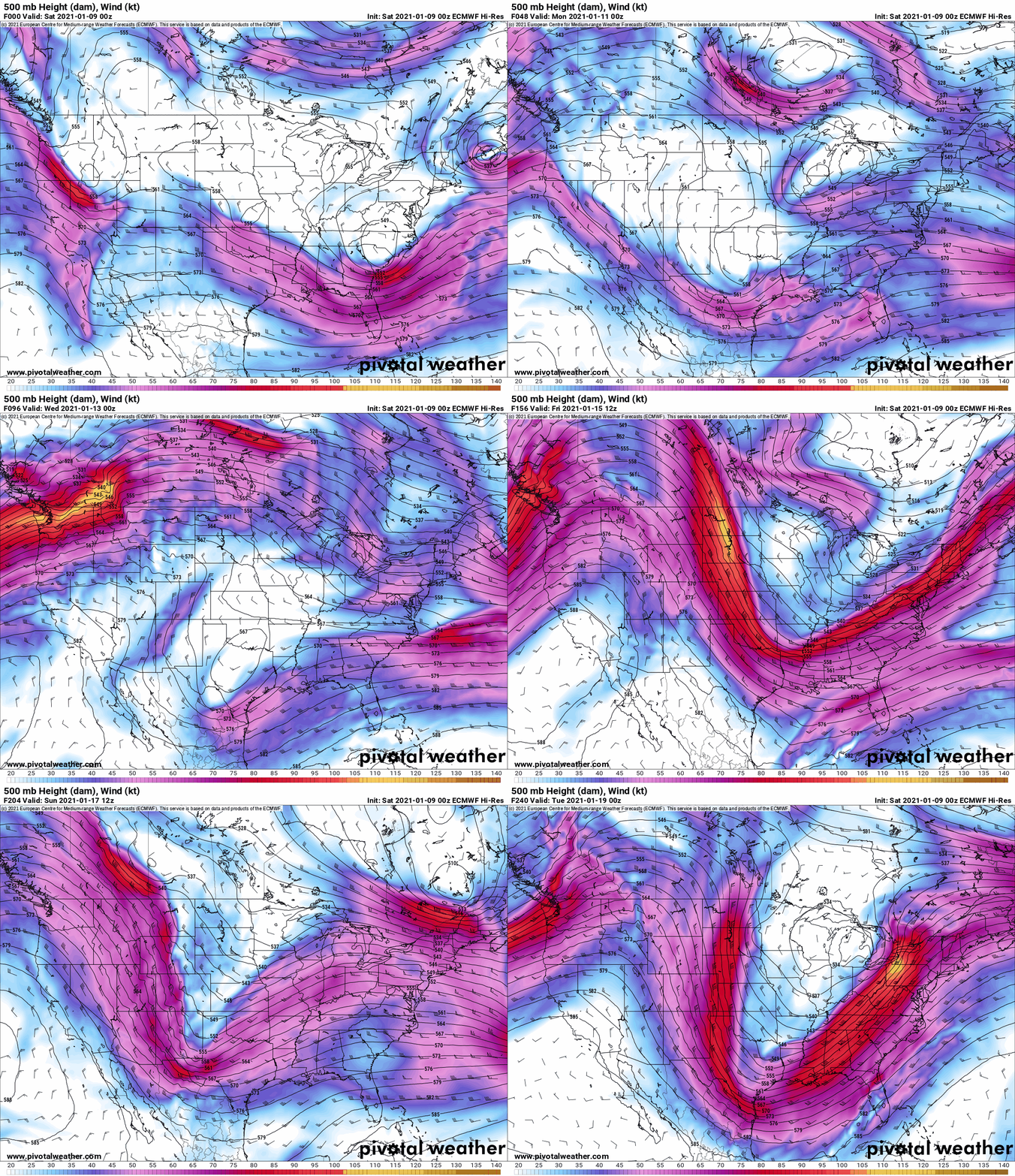
Hey, that means cold and stormy weather is coming back! Hey all that hype about the sudden stratospheric warming is starting to happen! Hey that means the big comeback, second half of winter is coming back! Right? Right?
Well, not exactly. See, here’s the problem. Darrin Harr has been all over this. Others have not mentioned this at all, but it’s the elephant in the room. The lack of cold air over the US and especially Canada.
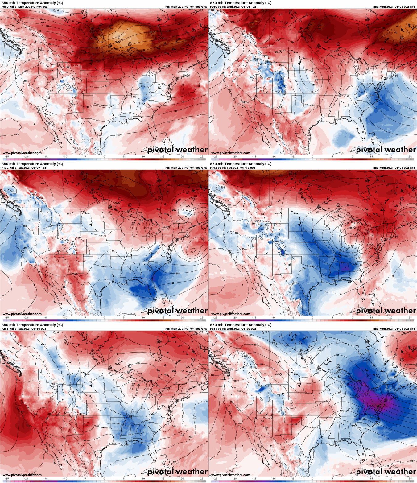
The 850 mb temperature anomalies. You can’t ignore them. They control the temps we see on the ground and control whether or not we see lake effect snow. Simply put for Upstate NY… if it’s a clear color or any shades of red/orange… no lake effect snow. It’s when colder than normal 850 temps, even in January, have to flow over the lakes to get lake snows. You see there’s… uh… not much. Over Canada, even when the trough develops and the air gets colder, the anomalies are more to the south than the north. We have cold air from Canada yes, normal cold, cold enough for snow and to keep our temperatures somewhat close to normal, put it’s only polar air… with a big pacific influence. It’s not true arctic air from northern Canada, the North Pole and/or Siberia. There’s a HUGE difference. Until some of that air can get down here, we’re not going to get the help we need and want to see.
Bottom line: Could be better, could be worse. For now, the snowmobile playground will remain limited for at least another week. Make the most of what you can, where you can, always check with clubs before going, take it easy, report hazards, stay off lakes and be good to each other.
As for update schedule, I have not been keeping up for a variety of reasons. I may dive into it at a later time, but for now, my family and I are ok and like all of us, taking life one day at a time.
Best,
Rich

