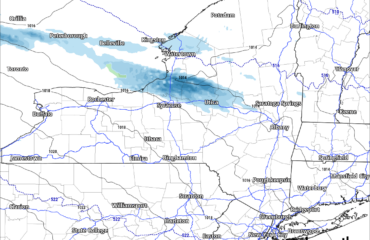
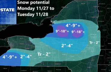
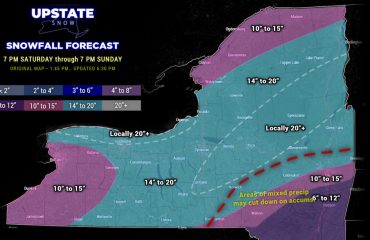
It’s time to get excited about snow! This is an unusual statement for January, as it’s our coldest and snowiest month, but after a two week snow drought, and with the exception of day and change, a sunshine drought, we are finally, at least temporarily, turning the corner and getting into a better weather pattern for cold and snow for the next week.
Discussion: Friday during the day should be cloudy and quiet. This is where the clouds and temperature inversion will help limit the damage to snow cover, holding us to 30s with around 40 in the lower elevations. In this pattern with S flow aloft and no big blocking high, we could easily be a lot warmer.
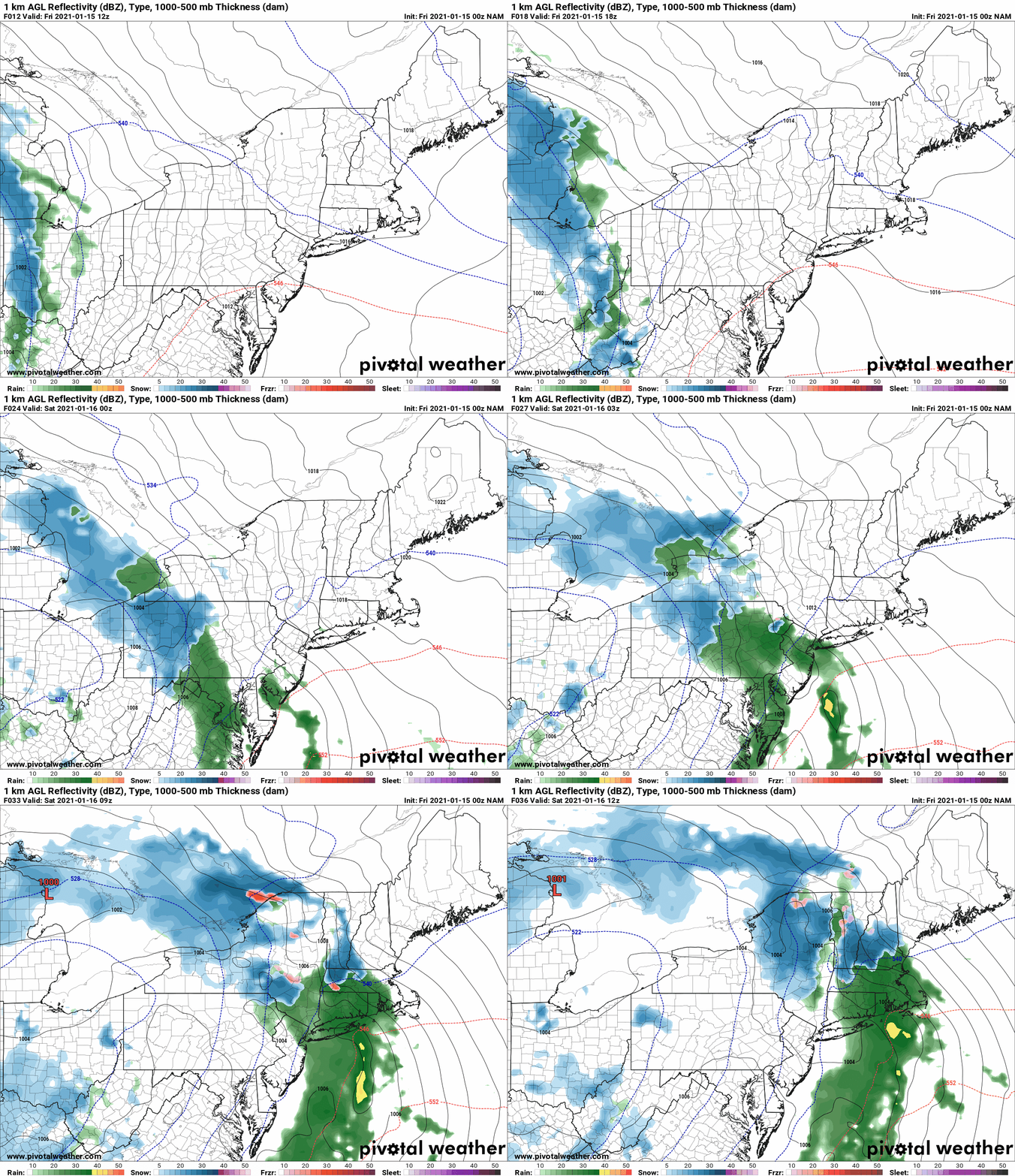
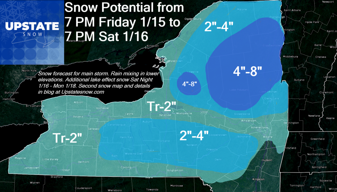
The show starts Friday night as the Central US storm spawns rain and snow into the Northeast. As energy approaches, it will jump to the coast and get a secondary low going off the NJ coast by Saturday morning. During the day Saturday temps go down as winds shift from E to W/NW and the colder air comes in. All areas kick over to snow during the day Saturday and end as snow by Saturday evening.
The snow Friday Night/Saturday Morning will mainly be in the higher elevations of the Tug Hill, Adirondacks, Catskills and the Southern Tier. The valleys and cities won’t see much accumulation until the daytime hours Saturday as winds shift.
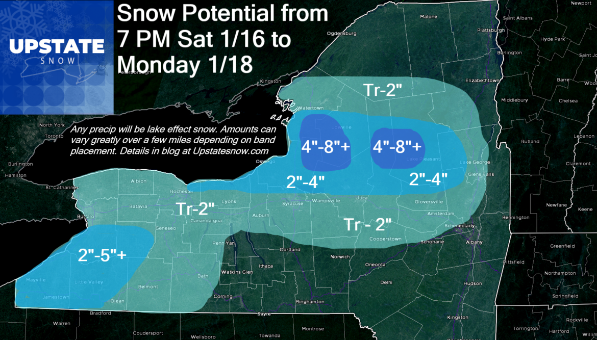
Saturday Night through Sunday will get the Lake Effect snow going… off both Lake Ontario and Lake Erie. We’re getting into the time of year where Lake Erie starts to ice up… but we are at 36 F off Buffalo Harbor with hardly any ice on the lake. This means WNY snow is OPEN FOR BUSINESS. This also means the Saturday Night Divisional Playoff game between the Bills and Ravens is likely to feature… Lake Effect snow. Bundle up, it might be a little chilly 😉 GO BILLS!!!
OK back to the lake effect, several inches off Lake Erie, mainly focused from Orchard Park SOUTH into the Boston Hills, Chautauqua Ridge and Cattaraugus County looks good. Early thinking on this would be something like 2-5 inches maybe a localized 6 or so… doesn’t look major at this time. The bigger snows will be off Lake Ontario aimed right exactly where it’s wanted the most. TUG HILL. This is higher potential for snow, however, double digit accumulations on lake effect alone from Saturday Night, through the day Sunday, ending on MLK day may be a little bit harder to come by. I’m concerned about the moist layer not being as deep as I would like it, speed shear and the fact while the air is cold enough for snow, 850’s of -7C to -9C (still warmer than normal for January) concerns my about enough instability to make healthy robust bands. This is why, over a 36 hour or so period, these numbers look low. I don’t want to overshoot, especially after the long snow drought. I’d rather be low and miss high than be high and miss low. With the aforementioned strong winds aloft, snow could carry well east of NY 30 into Saratoga and Warren Counties. Though not heavy amounts, a help to clubs in those counties nonetheless. In summary, the traditional snow belt areas of Tug Hill proper (less off the hill below 1500′), Big Moose, Old Forge, MRP, Atwell, Morehouse, and Perkins Clearing should do best on the lake effect.
During the day Monday (MLK Day) it dissipates gradually. High pressure settles in Monday Night so Tuesday AM we should see two things we have not seen much of… cold overnight temps (single digits to near zero likely) and SUN AT SUNRISE TUESDAY!
Next clipper and potential for another shot at Lake Effect snow hits Tuesday night through Wednesday and Thursday. Temps remain at or just below normal. It looks like A LOT of snowmobile clubs are going to get going and will be IN BUSINESS! Please double check with the clubs where you want to go before heading out. Respect clubs and landowners!!!
It’s not as much cold as we could have. It’s not as much snow as we could have… But will it be cold enough and snowy enough for many areas, especially the Adirondacks, Tug Hill and usual snow belt areas to finally get into the snowmobile season!
Two reasons why I held off on celebrating the positive change for snow lovers and for snowmobilers, are being sure of the pattern change holding (not just a model wish) and being careful on the snow amounts. I’m normally conservative. At times I’ll be higher than some, but you’ll notice in this forecast, especially because we haven’t had much, I’m being more careful than usual. Last thing a snow lover wants after two weeks of effectively ZERO, is to miss high on the snow map.
SNOW DANCE TIME! AND GET OUT AND ENJOY IT WHEN IT COMES, SAFELY, AND RESPECTFULLY.
Best,
Rich

