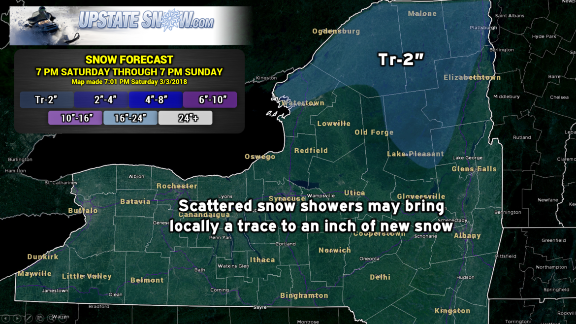
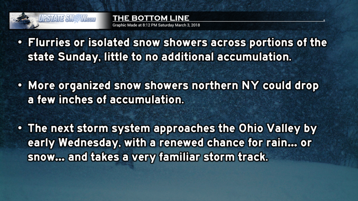
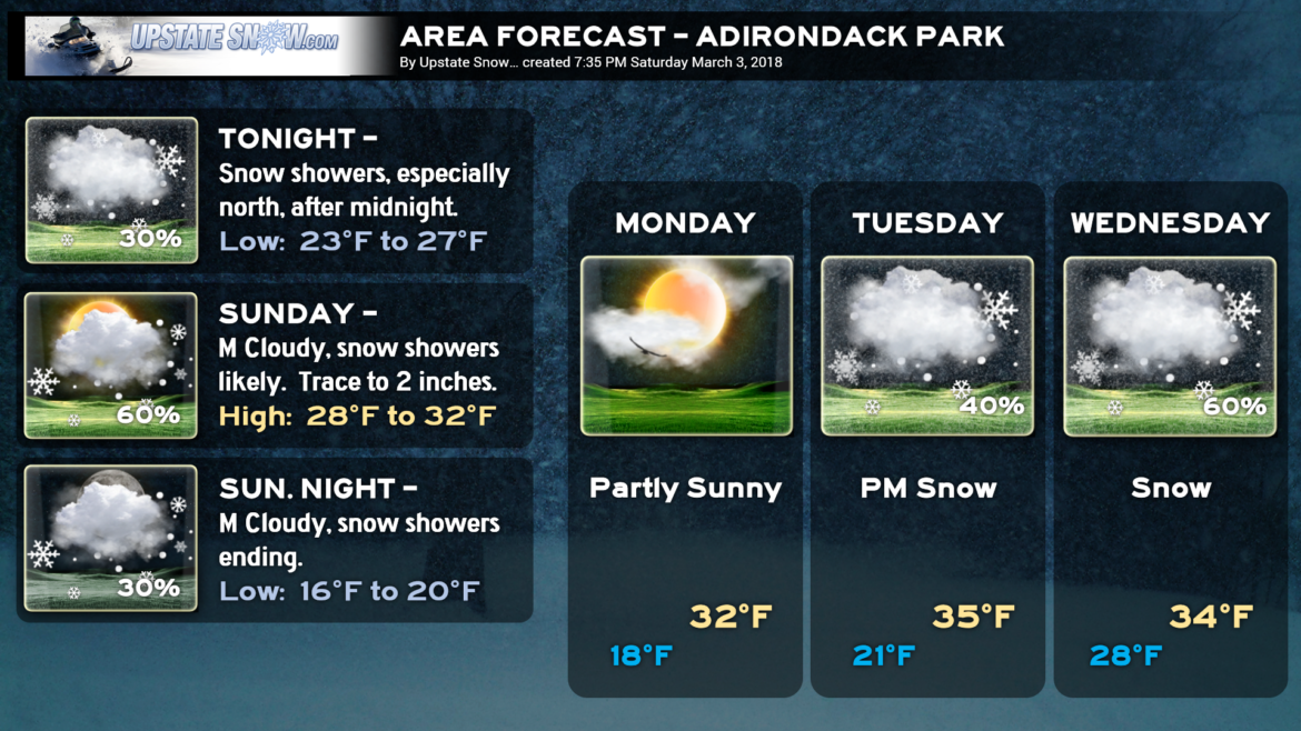
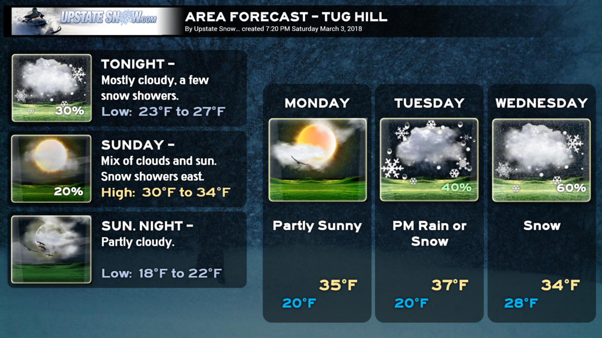
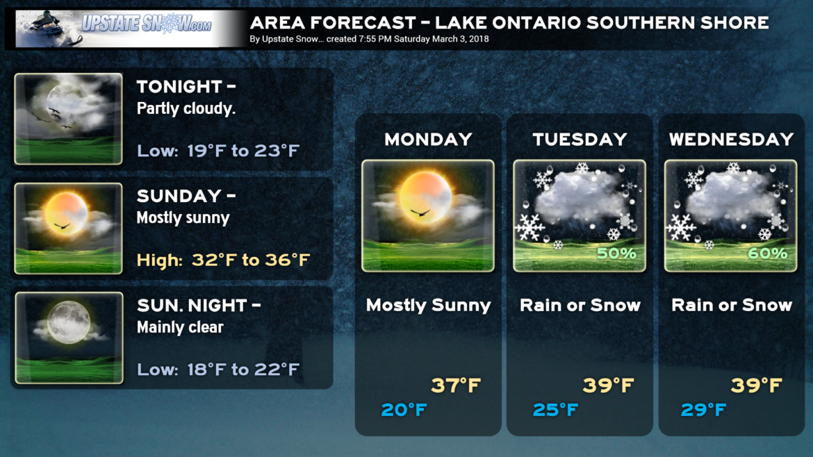
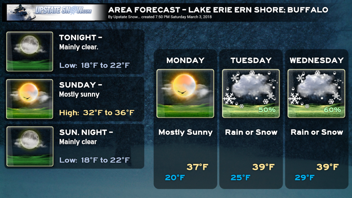
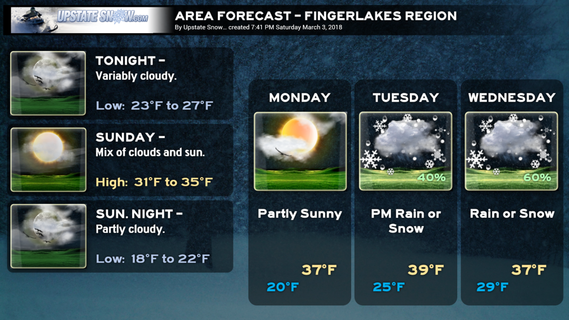
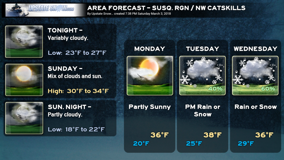
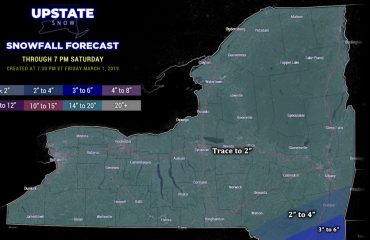
Good evening everyone! A weak disturbance far to our north will bring the chance for some snow showers to the North Country through Sunday. There may be some other isolated or widely scattered snow showers Sunday, especially across central New York, but that will be the exception rather than the rule… may see a localized inch accumulate here or there. Not overly likely though.
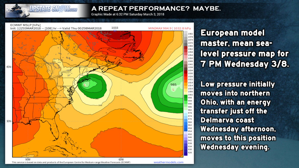
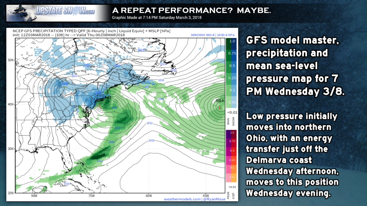
Our next focus comes for the middle of next week as a storm system will organize and move into the northern Ohio Valley. Stop me if you’ve heard this before. Energy then transfers to the coast, somewhere off the Delmarva or Jersey coast, and low pressure strengthens just south of Long Island. *AT THIS TIME* it appears the low off the coast won’t be as strong (models keeping it in the 980s millibar range), and there are some questions as to where the upper level energy moves east — if it’s over south-central NY, that keeps us in a rain/snow scenario. (By comparison, the upper level low in the storm we just had moved through north-central PA.) Given these question-marks, it’s too soon to really pinpoint precipitation types or amounts.
RIDING—-
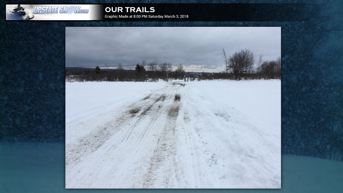
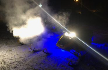
As far as riding is concerned, our team was out on the local trails assessing things this afternoon. This was a common sight:
Mashed potatoes and gravy. Some riding was good, some not so good. Lots of families out locally here in CNY. Tons of trailer-traffic headed to and from the Tug Hill from our shop. Ride with caution and take it easy. We need more cold… and we need more snow.
…..and we might just get it! “Stay tuned!”

