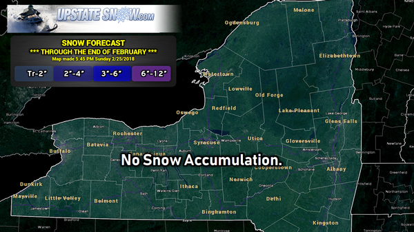
Good evening! There’s not an awful lot to write about for the short term. No snow at all in the forecast.
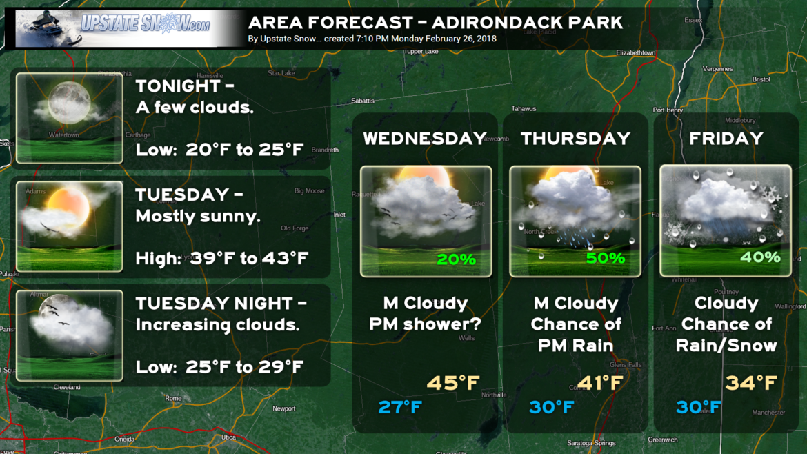
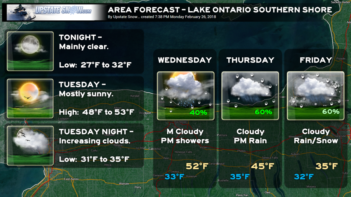
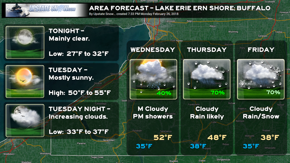
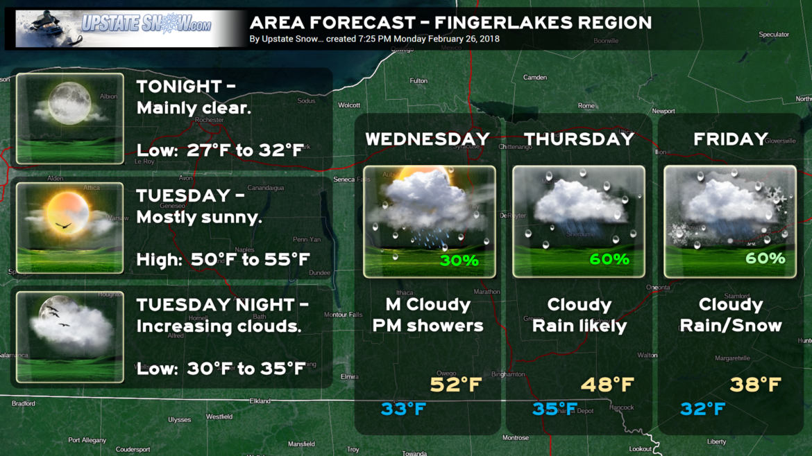
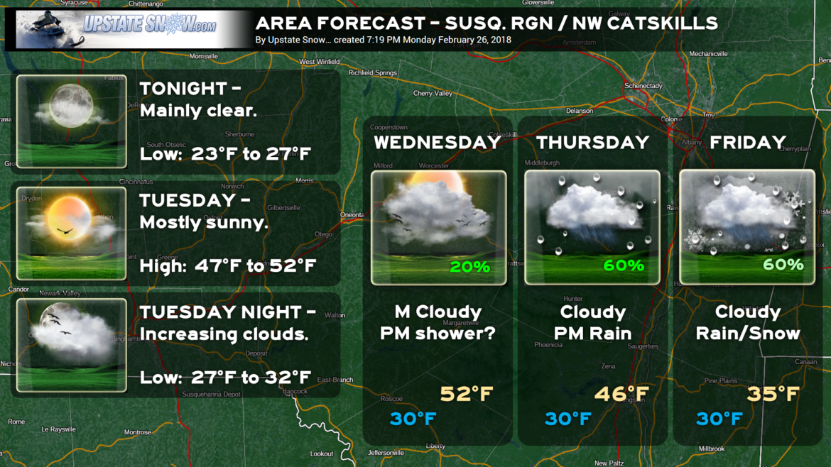
Side note — We’re going to add a few slides to the story… some “zone” forecasts… it’s an experiment. They may stay, they may not. Temperatures are “implied.” For example, a high of 52 implies highs in the lower 50s. You will find those slides at the end of this blog.
Back to business.
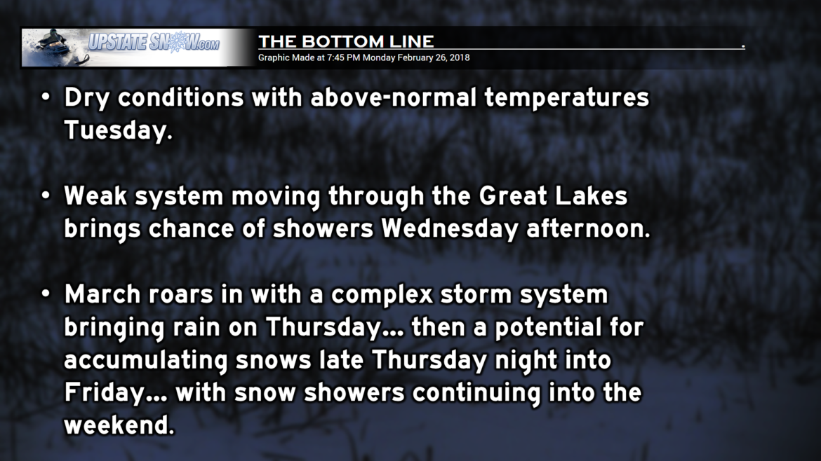
A weak system may bring the chance of rain showers for portions of the state Wednesday afternoon… this, on the whole, doesn’t look too significant or interesting.
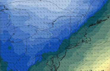
Our focus continues to be on the POTENTIAL storm for Thursday and Friday. There’s not a lot of change with respect to the modeling. The only “change” is an eastward jog in placement of the low. It’s not surprising to see the modeling waffle back and forth, and we really expect this to continue right up until game time. The European and GFS continue to agree (!!) on low pressure organizing over the border of Illinois and Indiana by Thursday morning. A large, strong, blocking high over Greenland (and most of Canada) will prevent this low from blitzing northbound into Canada, and will cause it to shift eastward. By Thursday evening, the initial low is moving over central Ohio while a new low is organizing off the Delmarva coast. This will become the primary system as it moves slowly to a point southeast of Long Island. (That’s where the main difference is in tonight’s modeling versus that of yesterday… the storm center is a bit farther south/east.)
As it stands RIGHT NOW (and this is subject to change) rain is expected to develop Thursday afternoon MAINLY along and south of NY route 3, NY-86 (not interstate 86), and NY-73; in fact, with today’s series of models, the vast majority of this storm will impact areas south of those routes.
The GFS and Euro, while agreeing (for the most part) on placement of the lows, they disagree on temperatures, and therefore rain vs snow. By Friday morning, the GFS paints mainly rain across central NY, from roughly the Fingerlakes eastward, with snow mainly along and west of a line from Rochester through Avoca, Bath, Corning, and Elmira. The European model paints a picture of mostly snow across most of the state, with mixed precip and/or rain in the Hudson Valley and down toward NYC, with nothing at all north of roughly the NY-3/86/73 area.
Since we’re still a few days out, and there is still some uncertainty with temps and precipitation types, our new “experimental” area forecasts have the probability of precipitation in the 60% range… for now. Still waaaaay too soon to even speculate on snow accumulation… a “for-the-heck-of-it” look at the European model points to “shovelable” snows across western and central New York, whereas the GFS keeps any “shovelable” snows in western NY only. So yeah, not going to make that call quite yet.
This storm slowly pulls away by Saturday, but wraparound moisture may keep numerous snow showers over the area for the weekend.
Here are your area forecasts…

