The Morning Blog 01-20-2020
Monday, 20 January 2020
by Upstate Weather
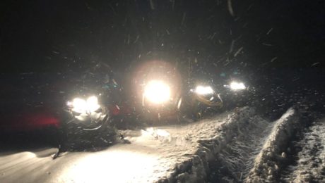
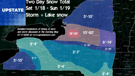
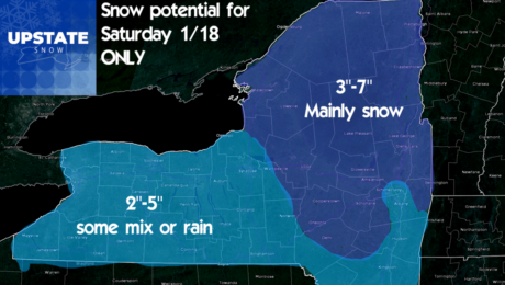
We are chocked full in this morning blog! You get a recap of the storm this past weekend, a look at the week ahead (more promising), and a ride report from last night! First lets get the bad/rough news out of the way here… This is something not everyone will show you or is comfortable
- Published in Weather
The Morning Blog 01-17-2020
Friday, 17 January 2020
by Upstate Weather
This is a very complex forecast with high bust potential for certain point locations, mainly close to the Thruway. Please read full text below for details on how/why I forecasted what I did. It will be quiet through today with minor lake effect snows diminishing west of I-81 as cold and dry air builds in.
- Published in Weather
Morning Blog 01-16-2020
Thursday, 16 January 2020
by Upstate Weather
Our clipper and lake effect will be rolling on through and we will be rolling back into winter! Watch out for gusty winds today along with any snow. By Friday morning, temperatures will nosedive. Single digits and teens in most places. Our forecast from yesterday still stands… A quiet day Friday before the well advertised
- Published in Weather
Morning Blog 01-15-2020
Tuesday, 14 January 2020
by Upstate Weather
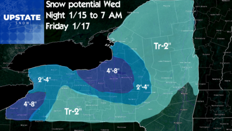
Latest runs of the models showing our clipper system a little farther south. Despite this I think the models may be picking up on our lack of snow cover. With this being a borderline temp situation overnight Wednesday, the slightly farther south track and with good low level moisture and upslope flow over Tug Hill
- Published in Weather
Morning Blog 01-14-20
Tuesday, 14 January 2020
by Upstate Weather
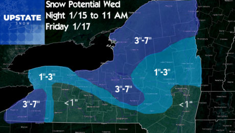
Folks winter will be back. After analyzing the clipper and cold blast coming in back of it, I have a feeling this event starting Wednesday overnight into Thursday 1/16 and ending by morning Friday 1/17 (with bitter cold temps) will over perform what models are showing. Low level moisture behind the clipper is good, but
- Published in Weather

