The Morning Blog 11.05.21
Friday, 05 November 2021
by Upstate Weather
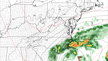
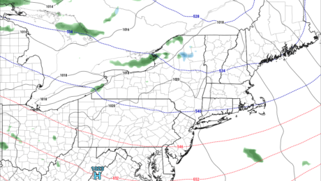
Well that was fun while it lasted… Expect MUCH warmer conditions and an end to the SNOW threat over the next several days across Upstate NY. Whatever fell on the state, in all areas, will melt off before the next snows have a chance to move in. While the Southeastern US gets dealt a MAJOR
- Published in Weather
The Morning Blog 11.02.21
Monday, 01 November 2021
by Upstate Weather
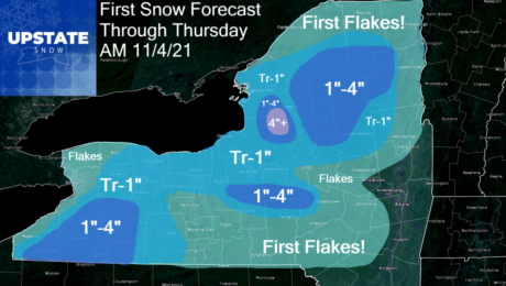
It will not be a big one. Most will probably only see their first flakes in the air over the next few days as it gets colder. For those that are above 1000 feet, especially north of the Thruway, and a few select locations in the hills S of the Thruway, early season winter is
- Published in Weather
The Morning Blog 11.01.21 and Winter Weather First Look
Monday, 01 November 2021
by Upstate Weather
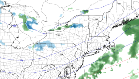
Welcome to November! Or is it Snowvember? We shall see. For the first week of the month anyway, chilly with several chances at first snow for most of Upstate NY. Some of the snows, are likely to be accumulating. Best chances are Tuesday and Wednesday. First we start off with the blast you are getting
- Published in Weather
The Morning Blog 10-26-21
Tuesday, 26 October 2021
by Upstate Weather
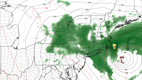
IF ONLY 🙁 How much SNOW would this be if it were just a few weeks later??? A major Nor’easter is clobbering much of Upstate NY, NJ and New England at this time and will for the next 24+ hours. The initial storm that rolled across the Great Plains to the Ohio Valley this weekend
- Published in Weather
The Morning Blog – October 22, 2021
Friday, 22 October 2021
by Upstate Weather
Every time we get within 72 hours of an event… changes. And not usually for the good. In this case, it’s the same. Our cold front is working through the area this morning, putting an end to the recent warmup. Rain and thunderstorms will taper off, and temperatures will be falling during the day. By
- Published in Weather

