This report is two fold… a recap of Saturday’s Tug Hill adventure… then a detailed breakdown of the weather as best we can see it through next weekend… and it’s something you’ll want to read. It’s not perfect but it’s the best shot at decent accumulations we’ve had in weeks!
The Saturday Morning Adventure
You know when some days you just know things are going to go wrong? This was clearly one of those days. We set out from home at 6 AM to get our trailer at our friend’s farm at 6:30 AM to get to West Leyden and the Milkplant to meet Ben, Aaron and Lexi Deragon by 7. We got stuck in soft snow and had to work feverishly to get the trailer out so we were 15 minutes late. It was an un February like 30 degrees setting out onto the STH system just after 7:30 AM. The STH trails were decent considering the thin cover in the open N of West Leyden. Then five miles in, trouble. Lexi’s sled broke down dead in the field. We turned back to help but it was no use. I figured our plan to make Tabolts and the TRR Hot Dog (or Weenie) roast were done. So I texted Chris Skipper this pic saying one in our party died with a sad emjoi. I assumed the pic got through. More on that in a minute.
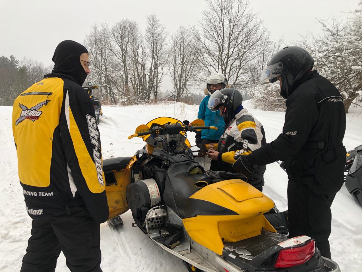
Aaron being the great dad he is got the tow strap, took Lexi back to the Milkplant for breakfast and some father/daughter time, and gave his blessing to lead his son Ben and my son Zack through the hill and continue on the ride. Off we went and hit the great STH trails above that field heading up to the Apple Mill then over to Swancott to pick up Camp Four. That whole stretch there were only a few sleds and total awesomeness! Michigan Mills continued the fun heading back towards Highmarket… while straightaways were a blast to rip at 55, the corners were worn down icy and getting bumpy. After passing Barrows and Highmarket it was up “The Northway”, North Rd to Tabolts. Flat. Fast. Fun. We made it to Tabolt’s around 9:30 and enjoyed a few minutes with TRR, volunteers and fellow riders. You can see some of the pics here.
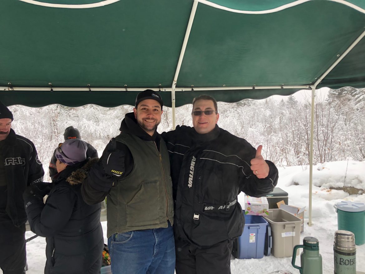
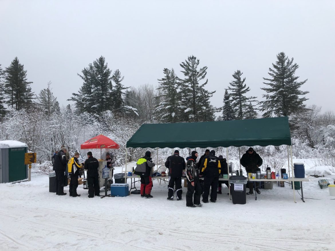
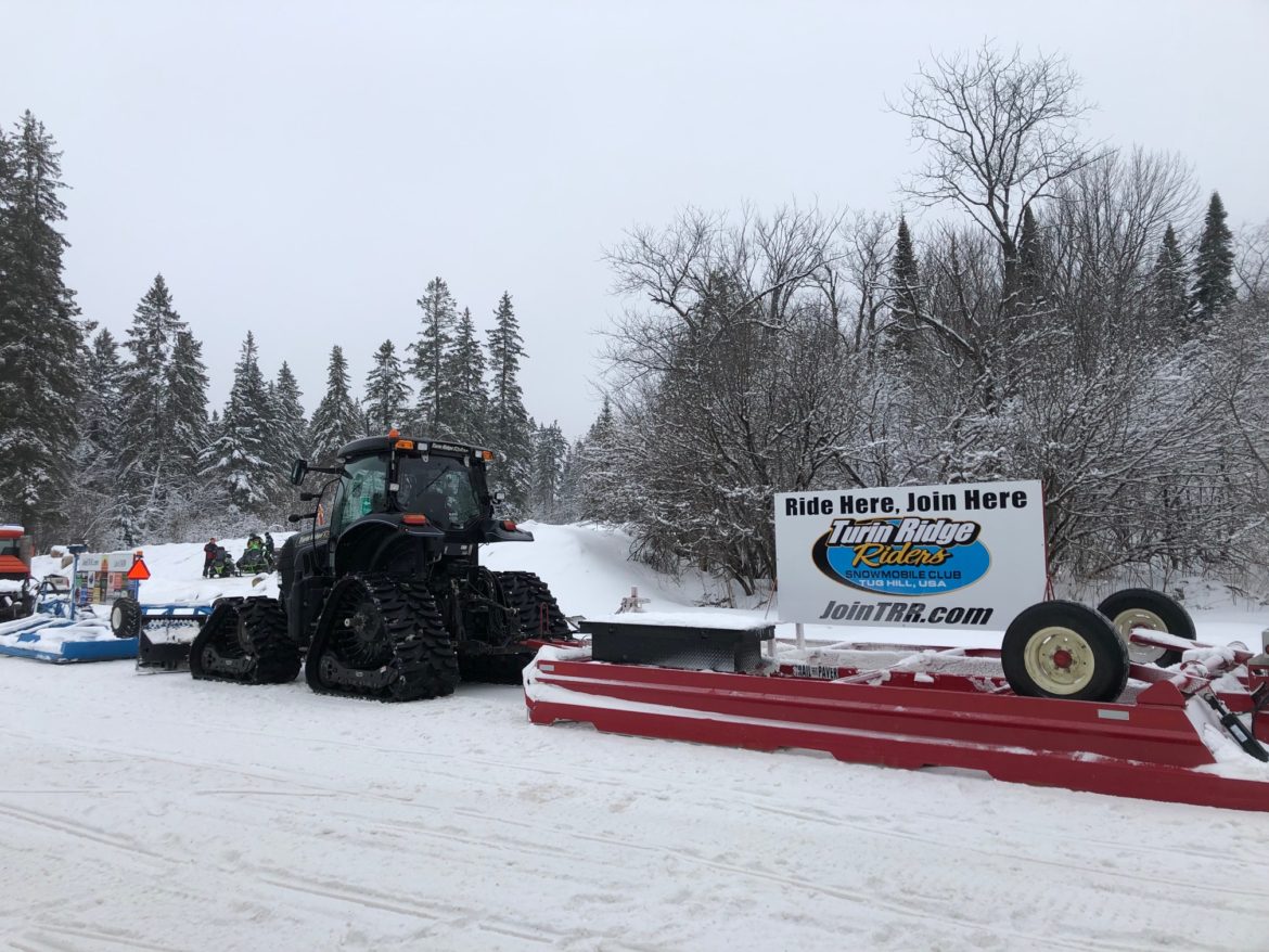
And “Mister” TRR Chris of course… whom had a concerned look when I saw him. Without the picture showing the sled that died… he thought… um… yeah… Thanks Verizon for your awesome cell service incapable of sending a simple picture in 2020… and a lesson learned to be careful with texted words to communicate clearly without use of pictures. After his sigh of relief we enjoyed a laugh over the misunderstanding, enjoyed some hot dogs, made our donation, then headed south back towards West Leyden. By this point the traffic was picking up and the freezing drizzle was starting to cause icing issues.
Upon getting back to Highmarket we found THE YETI! I saw him once in Speculator last year and thought it was a hoot! He (or it) was just getting ready to set out when I got this pic!
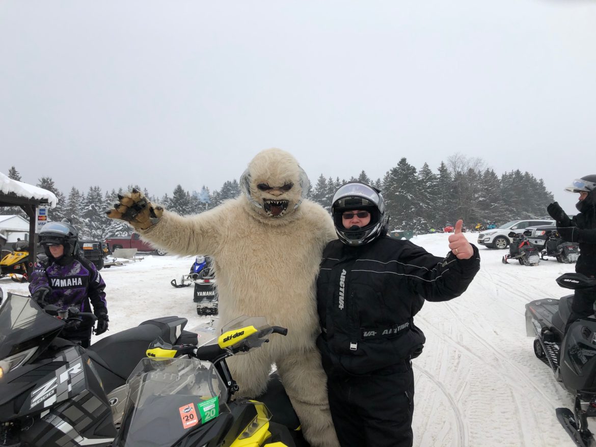
Whoever came up with this is genius. And I’ll throw out a “bucket list” thing that will probably never happen, but I’ll throw this out there: Get us from Upstate Snow, some club president’s together, THE YETI and the boys from Dude Perfect up here for a day or two, take them out on the trails. Unless I hit the lottery that probably won’t happen… but it was a fun daydream to have.
Back to the ride, icing issues got worse heading S from Barrows to West Leyden. The freezing drizzle was causing everything to ice on the outside and got very frustrating. At one point near the end, Zack was trying to clear the ice off his shield missed a turn and caused us to dig him out of 18″ of “quicksand” just a few feet off the trail to right him. Low speed. No one hurt. Thankful no damage to son, sled or land. The ride ended safely at Milkplant at 11:15 with 70 miles spun off.
The Week Ahead
Expect a few inches possible in some areas through tomorrow (Monday) morning with a weak system going through. Milder temps Monday into Tuesday will limit grooming efforts but it won’t be super warm. Most areas 30s to low 40s. Not great but better than 68 in Syracuse 3 weekends ago…
Weak system going by Tuesday into Tuesday night could bring light showers to valley areas and rain or snow to higher elevations. Nothing significant. What is significant is the cold front it drags through us and makes us cloudy and colder Wednesday. This is key and set us up for a very busy end of week. The summary is below. Details follow that.
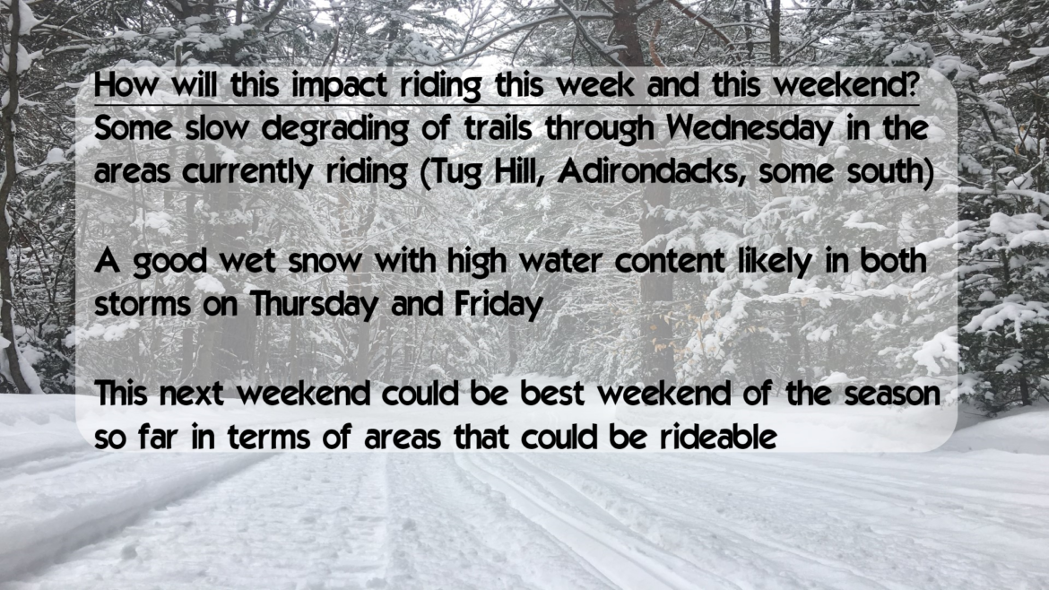
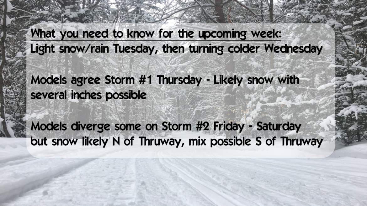
So the first big storm the models are coming to agreement with on Thursday. Timing a little different but the point is lots of moisture coming up from the south and storm track to our south. This is GOOD for a snow event. I’m becoming bullish on this one. I will not release a forecast for this event until Tuesday morning when it gets into range of our mesoscale models.
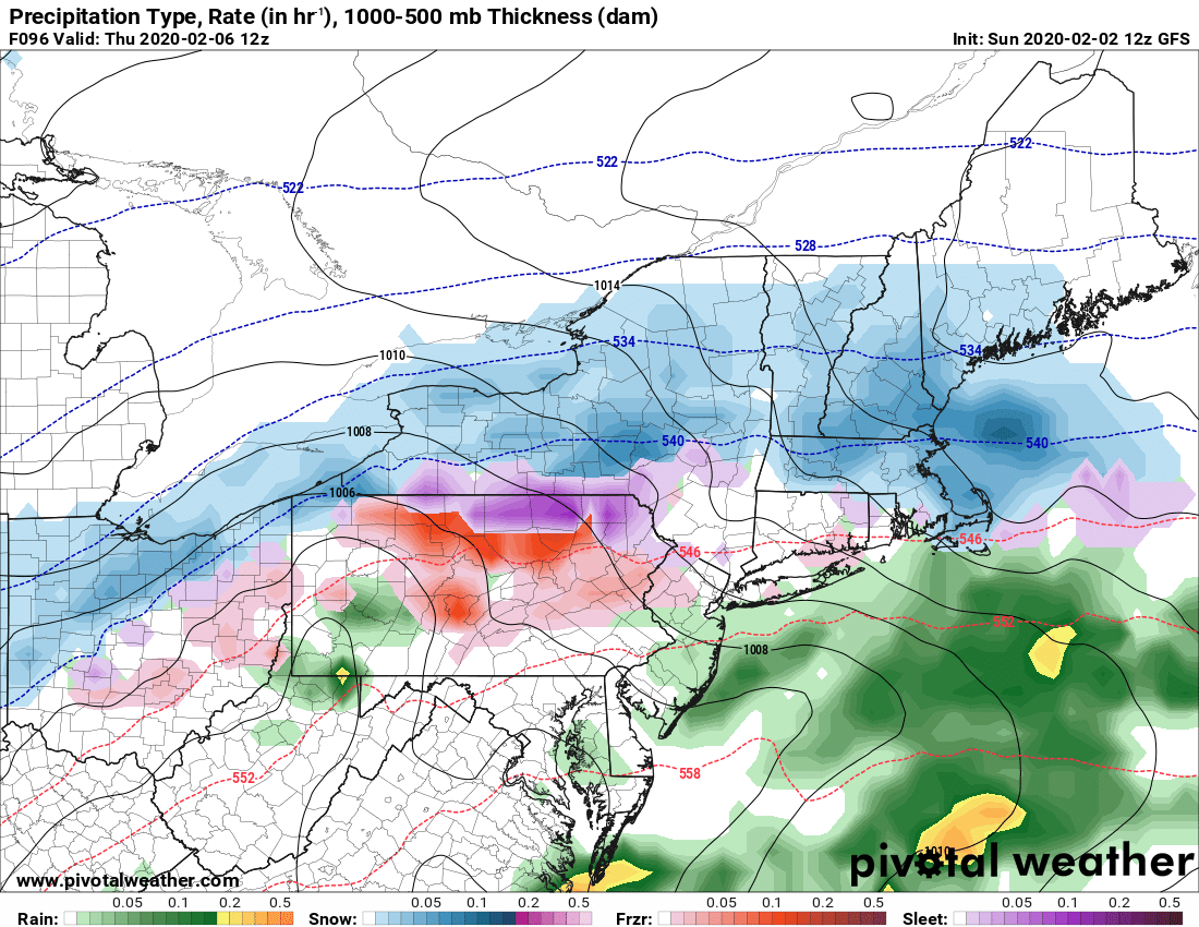
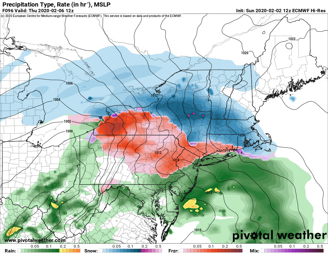
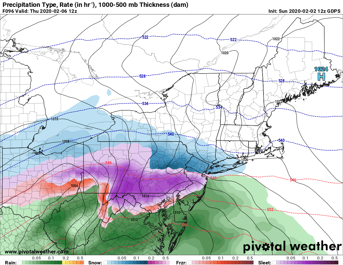
The models diverge some on timing, track and intensity with the second storm. GFS most aggressive with snow but a 979 low over the Capital Region does not lend itself to an all snow event… especially this winter. I am not bullish on whatever snow amounts GFS is putting out with its cold bias. We’ve seen it before. Do I think all snow? No. All rain? No. I think somewhere in the middle.
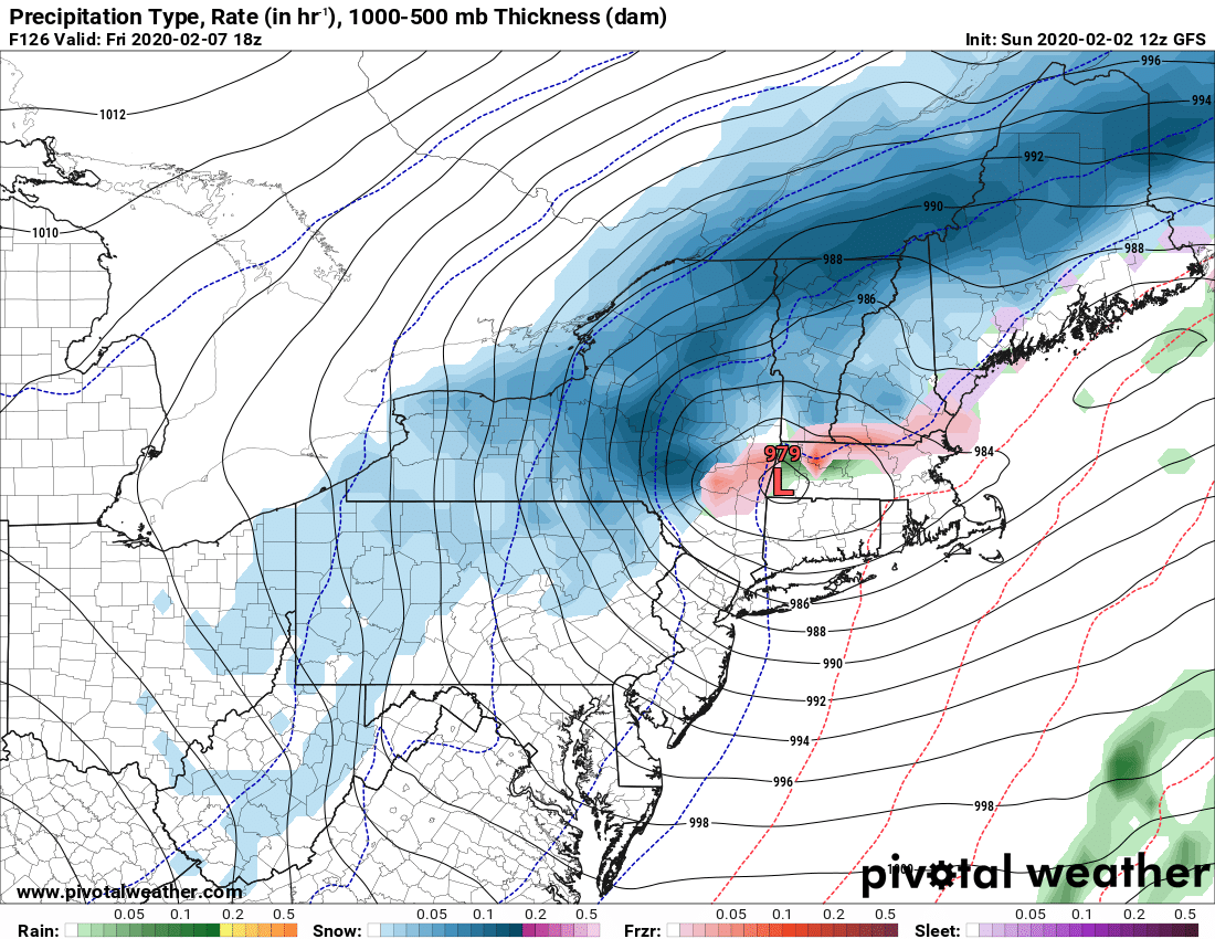
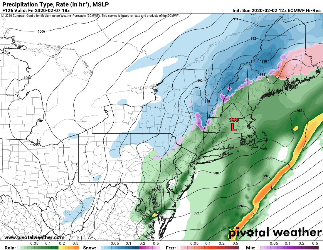
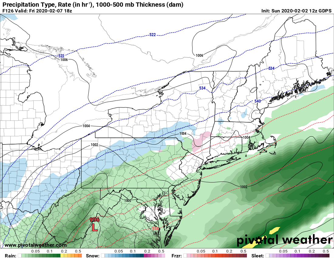
Behind that one model brings a third storm for the weekend… another a wipeout rain event by Monday 2/10.
BOTTOM LINE – Yes it’s going to get active. No it won’t be super cold. Yes there will be snow. How much and where the big questions. Just focus on specific forecasts inside 72 hours, general ideas like this at 72-144 hours (3-6 days) and anything else beyond that is not worth getting hyped up or worked up over.
Be good. Talk to you soon…
Rich


