
Hey there! Deciding to go on an evening blog this time. Again. The weather will actually be QUIET for the next several days with moderating temperatures. As the thermometer returns to normal early next week, it returns to a place it hasn’t been most of this month: ABOVE FREEZING! After a few days like that, the temperatures go down by March 1, the winds kick up, and more storms come in. At least that is the way the long term in looking now.
Wanna play in the snow? You guys have the most snow to play in out there in a decade. Seriously. Even 2017-18 and 2018-19 were not as good for this type of snow as we are finding right now. Not since the brutal winter of 2014-15 with the coldest month in HISTORY in February 2015 did we live through anything like this. Roofs are caving in. Everywhere! So many of them. So many more roofs are under intense pressure and strained. This is a serious issue, particularly in Northern Oneida County. This is where it is worst. From Camden to Rome, Lee, Annsville, Ava, Boonville, Remsen, Barneveld, Trenton, Holland Patent and even Deerfield, the pressure on roofs is as much as it has ever been in winter. PLEASE IF YOU CAN, DO WHATEVER YOU CAN TO GET AS MUCH SNOW AND ICE OFF YOUR ROOFS. NOW! After so many roof collapses, I am surprised no serious injuries or deaths have occurred yet. We don’t need any.

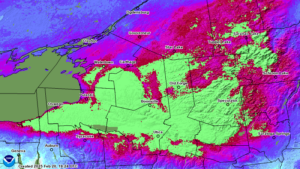
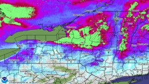
The snowpack is HUGE out there. Definitely HUGE. From Central NY from the Syracuse area north and east, basically you are over 2 feet of snow. In some areas, snowpack on the ground is (no joke) 4 to 6 feet, if not more! The snow pack here has several inches of water stuck in it. Since January 1, there has been HARDLY ANY THAWS. It has been almost 2 months. If we continue to stay below normal after next week and keep up with cold and snow into the first two weeks of March, which is the current forecast, we may be approaching a point to where FLOODING WOULD BE GUARANTEED. If anything a Top 10, if not Top 5 all time water flow could happen. It is not a definite yet but a growing possibility as the weeks go on, the snow goes on, and average temperatures rise into the 40s. If not the 50s in April. It will not be good.
Where did you go snow? The Genesee Valley southward into the Elmira/Corning area, and the southern Finger Lakes can’t buy snow this year. Where so much of the state is WAY ABOVE normal for the year, these places are BELOW NORMAL. By a lot too. These places have little to no snow on the ground. What will we do now?
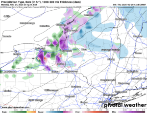
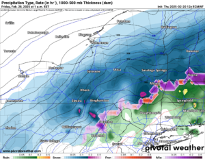
Here is how it looks going into next week. It’s not all snow. It’s not all rain either. It’s something in between, which is what you would expect with temperatures in the 30s. Early next week on Monday and Tuesday look to be the best shot at seeing rain mixing in with snow. With the rain amounts being light and the snow being so deep, expect not much change out there on the trails. By late next week colder air returns, below freezing all day and night return and so does some snow. Next Friday 2/28 looks decent at this point but we are just over a week away. A lot can change.
Seeing as how we are over a week away from this right now, we will not comment right now on it. Give it time to develop and if it turns into something, we will let you know.
Thank you for your support of Upstate Snow!
Zack and Rich Lupia
Upstate Snow
February 20, 2025.
Please thank our advertisers on Upstate Snow for 2024-25
Banner Sponsorship
Great Lakes Equipment
Enjem’s Flooring America
Ohio Ridge Riders
ilsnow.com
Southern Tug Hill Sno-Riders
Saratoga Snowmobile Association
Business Sponsorship
Wedge Life
Paton & Son Excavating and Landscaping
Personal Sponsorship
Jim and Colleen Andre


