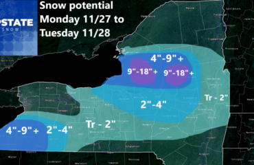
Well??? I said the second half of November would take off, didn’t I??? The storm that hit since Thursday has left the usual amounts of snow in the lower elevations, but in the higher elevations especially near and east of I-81, it left a HUGE SNOWFALL. Way more than we predicted. In some area where we predicted 5″, about triple that fell! In Delaware County where we had the 5-10+ up, some areas got up to 20 inches of snow! And in some areas it is still coming down today with leftover lake effect hitting the Syracuse area, places south and west of Utica, and heading into the Northern Catskills. I haven’t had a start to winter like this in 6 years! Not since 2018-19 have we seen this!
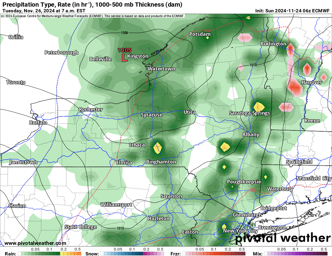
BAD NEWS IN THE SHORT TERM
Once this lake effect snow winds down later today, we are left with some clearing tonight and something unusual tomorrow: THE SUN! Temperatures will range in the 40s across Upstate NY so expect melting of this snow to some extent. Increasing clouds tomorrow night and then on Tuesday, here comes the RAIN MAKER! Temps reach the upper 40’s to lower 50’s. So unless you are looking at an area that had near to over a foot of snow, you will probably be starting from scratch again. That’s OK. It is early season. The pattern will begin to shift as we head towards THANKSGIVING
GREAT NEWS FOR THANKSGIVING AND BEYOND
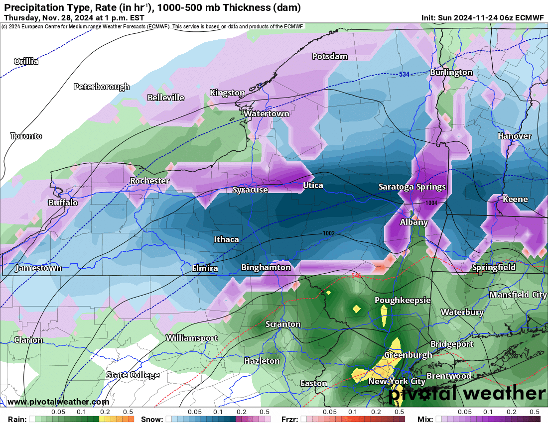
Turkey Turkey and snow snow! Potentially a lot of snow for the last few days of November 2024. This is mostly true for the North Country, Adirondacks, Tug Hill, Mohawk Valley, Southern Tier and the Catskills. Areas in the Hudson Valley and south are likely to be too warm for this to be snow, as will most of New England except for the highest elevations. This is more of a NY/PA event rather than a New England event that is setting up. At this time I can only look at where and when since we are 4-6 days away from this. But we are getting closer to that 84 hour window for me to call accumulations. That will likely be on Tuesday.
CONTINUED COLD THROUGH THE FIRST WEEK OF DECEMBER
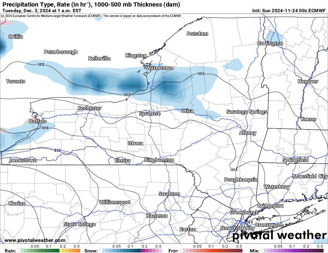
Am I seeing things? Am I missing something here? When did it suddenly go back to 2018? Man I will tell you when the weather pattern finally flips in your favor for cold and snow, it is absolutely a good thing! With continued cold and likely snow (or at least rain/snow to snow), and below freezing temperatures most if not all the time becoming more likely… how about actual snow for SNOWDEO? It’s December 13 and 14 this year so the pattern could flip back around by then… but since things are looking cold and swell in the meantime, we can at least hang on to that for now. And even though Decembers have been SO WARM especially these past 10 years, don’t forget December can be a COLD AND BRUTAL MONTH! Remember December 1989? I will leave it at that.
We continue to watch and wait. Once we get more specifics especially in the higher resolution models, we will let you know and make calls.
Zack and Rich Lupia
Upstate Snow
November 24, 2024
Please thank our advertisers on Upstate Snow for 2024-25
Banner Sponsorship
Enjem’s Flooring America
Ohio Ridge Riders
ilsnow.com
Southern Tug Hill Sno-Riders
Saratoga Snowmobile Association
Business Sponsorship
Paton & Son Excavating and Landscaping


