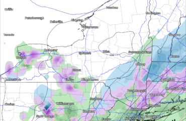
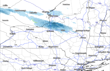
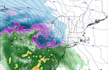
Chance of riding through 01.10.24 – It all depends on what that storm this weekend does. And how much we can heal the wounds of our epically poor conditions right now
Chance of riding 01.11.24 through 01.17.24 – It all depends on how much warm air and wind hit how much snow we got prior to this and how much gets eliminated from it. Then it’s up to how much cold and snow is left afterwards.
Good morning! Well we did get some light snowfall amounts across parts of NY, particularly lake effect country yesterday and last night. Now that the cold front has gone through, the winds shall make the temperatures fall, even during the day, into the 20s. With single digits and teens for tonight and hardly any snowpack around, that actually turns out to be a good thing! The fact we remain at or below freezing between now and the next snowfall system is good!
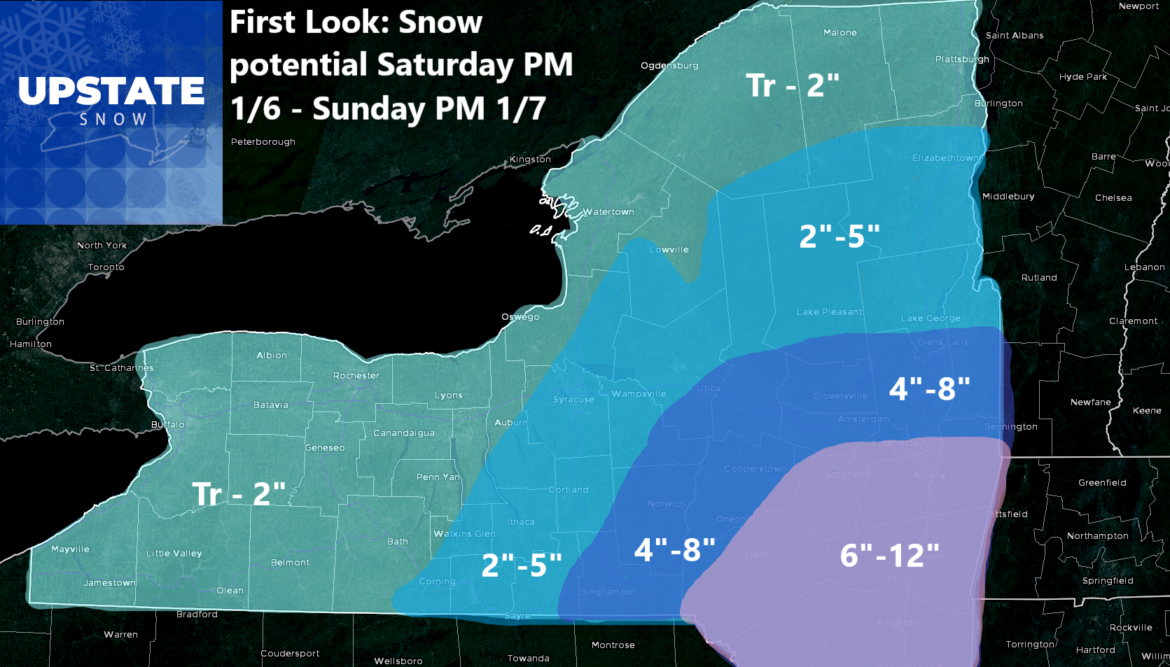
It’s Saturday Night through Sunday Afternoon that’s our main time period for our next storm. Based on the fact almost all the storm is within the 84 hour time frame for the short term models to see it, and because almost all short term models have finally come into agreement with a track, I am going to go with it.
Saturday afternoon the storm approaches. There is some stuff that gets into the Southern Tier, the Catskills and the Capital Region before sunset Saturday Night. During Saturday Night, moderate to occasionally heavy snows overspread most of Upstate NY. It’s heaviest in the areas I had mentioned previously. Light to moderate snows for Central NY, Tug Hill and the Adirondacks. Lighter snows for the Finger Lakes, Western NY and Northern NY. There may be periods where this snow is coming down hard, others where it is lighter. For the most part Sunday afternoon and into Sunday evening is when the snow tapers off and accumulations are done. Based on everything I have had to look at, and with the forecast SUBJECT TO CHANGE, here is my initial forecast for this Saturday PM to Sunday PM storm:
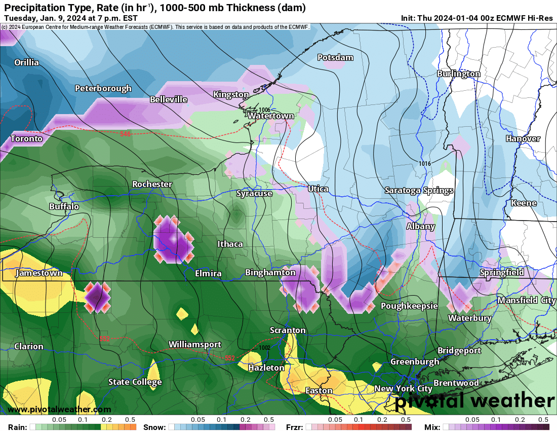 Next up is the even bigger storm. This is the one for Tuesday and Wednesday. This one instead of heading south and east of Upstate NY and leaving us with snowfall, this one will head to the north and west of Upstate NY. Definitely. This means warmer air coming in. This means snow to start, then sleet and freezing rain, then rain. Then back to snow as the cold front rolls through. It also means A LOT OF WIND! With the pressures getting down into the 980s, even the 970s in parts of Upstate NY, that will change how many of us feel. Pressures into the 28’s is not something we get very often here.
We continue to see a lot of storms and cooler weather going into MLK Weekend and beyond. There will be some snow. Will there be enough to ride on, especially where you live? It is hard to say at the moment. The biggest threat to riding is not what’s happening now or in the next 5 days, but at day 6-7, Tuesday and Wednesday of next week. Whatever we gain and get to our advantage in snow cover and trails, could very easily get wiped out by high 30s to 40s with gusty winds of 25-50 MPH for 1-2 days. Until this hits the short term models, I won’t be able to say for certain. Stay tuned. Mother Nature is giving us a quiz. We’ll see how we do.
Rich Lupia
Upstate Snow


