Well what’s left of the Lake Effect snow showers and squalls has lifted well to the north. Most of the activity is in the Buffalo to Rochester areas, also even reaching as far east as Syracuse and Utica off Lake Erie (not with much). Lake Ontario’s snow band has gone to the Watertown area with it’s first dose of Lake Effect and to points even north of there into Jefferson, St Lawrence, Franklin and even Clinton Counties. This activity only has hours left on it. Depending on when you read this (if it’s after 2-4 PM) it will probably be over.
The last front and weak disturbance move through this evening and into the overnight hours with some light snows. There is very little with this system, only a dusting for many with an inch to two inches max for some. By Thursday morning, sunshine will return. Tomorrow expect normal temperatures and a nice late fall day, even though with all this snow around it will feel like January!

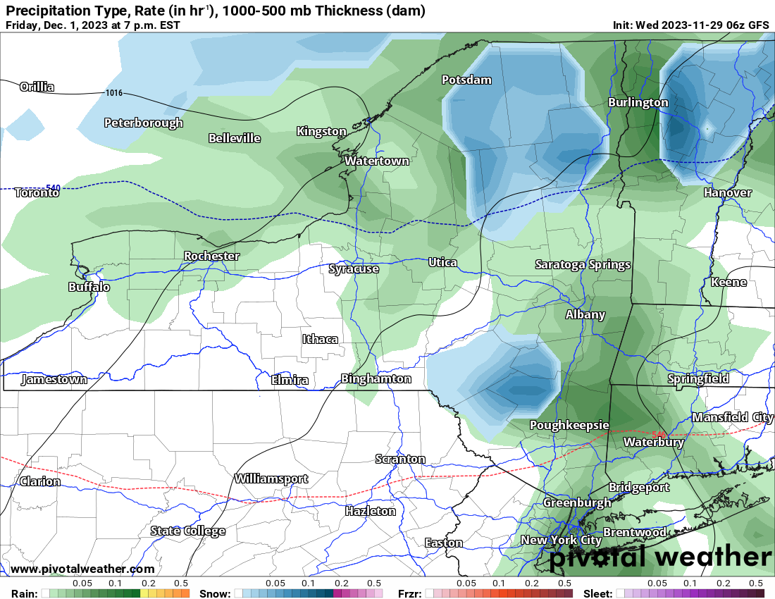
Round 1 of the next system, which will be mainly rainfall, comes on in. There is still enough cold air leftover to where higher elevation snows are expected across the Adirondacks. Round 2 on Saturday is a not so much thing. This is rain everywhere, even in the higher elevations of the Adirondacks.
Round 3 is Monday into Tuesday. It is plenty warm enough for rain out ahead of this system but behind it, look out for rain changing back to snow across the Adirondacks. So this is 2 out of 3 storms between Friday and Tuesday to where at least some snow is predicted. But it’s north of the Thruway and higher elevations only. It is at this point the Adirondacks open up officially for snowmobile season. This will be the first time since 2018 there will be actual snow up there. Probably not enough to ride on. But close enough to stay excited about it.
Keep getting excited with new snowfall about the season which starts next week for the Adirondacks, then the week after for the rest of the North Country and Tug Hill. Enjoy your day!
Rich


