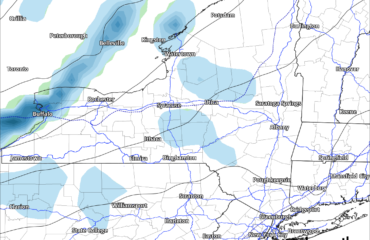
Localized lake effect snows will remain today over northern Cayuga and Oswego Counties close to the lake today, lighter snows may continue along and just north of the Thruway as well. The only other thing in sight through Saturday is tomorrow when a storm hits hard to our south (PA and Mid Atlantic States) but light snows of a dusting to an inch is possible in the Southern Tier and Catskills. The closer to PA you are, the better chance for clouds and sun. Best chance for sun tomorrow N of the Thruway.
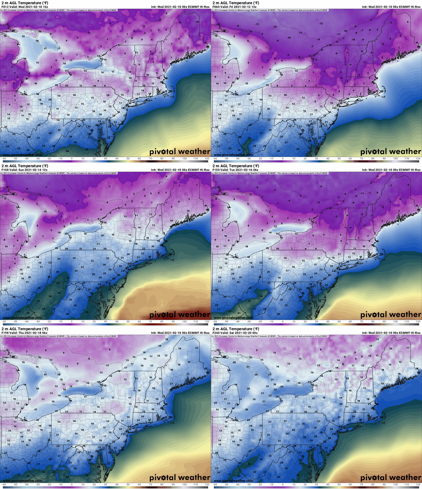
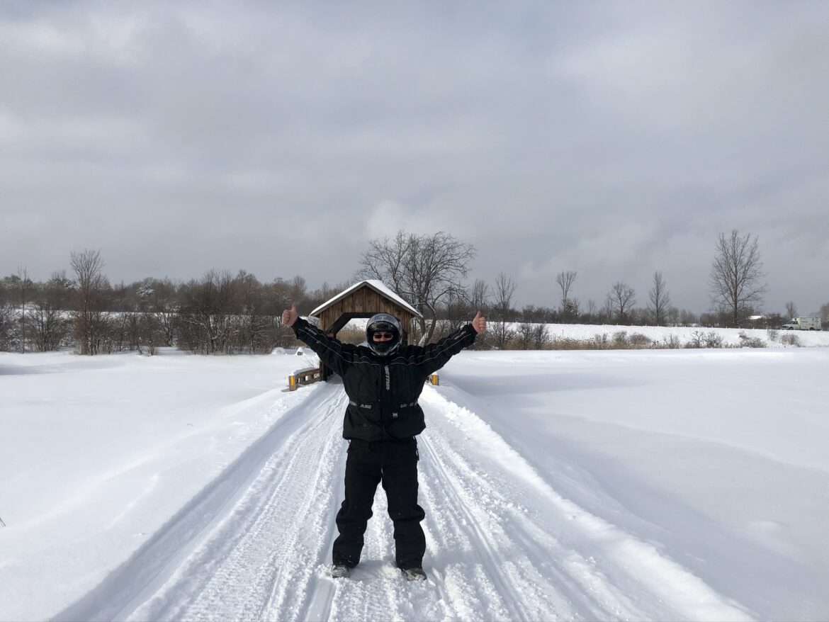
The cold is now large and in charge for the next 6-7 days. As promised yesterday, best cold and snow conditions on the trails for this season. With even colder temps, groomers will be able to lay things flat and fabulous, even during the holiday weekend. At some point the lack of fresh snow and heavy holiday weekend traffic could make things a little rough in the corners and high traffic spots. Clubs will do their best. And as always check in with and thank your local clubs for these weeks we can get out of the house, see the beautiful landscapes and briefly escape the hell life has been over the last year.
Going to what I have referenced in previous blogs… Jet stream is very fast and active. Between the Polar Vortex coming south FINALLY and spring deciding to arrive along the Gulf coast, we have a MAJOR BATTLE ZONE now set up from the Southern Plains to the Mississippi Valley to the Southeast and Mid Atlantic states. Rarely do I do this but here’s the straight Euro for the next 10 days out to the end of next week. It’s VERY BUSY. Because Upstate NY is in the cold, a lot will pass by. But not all of it.
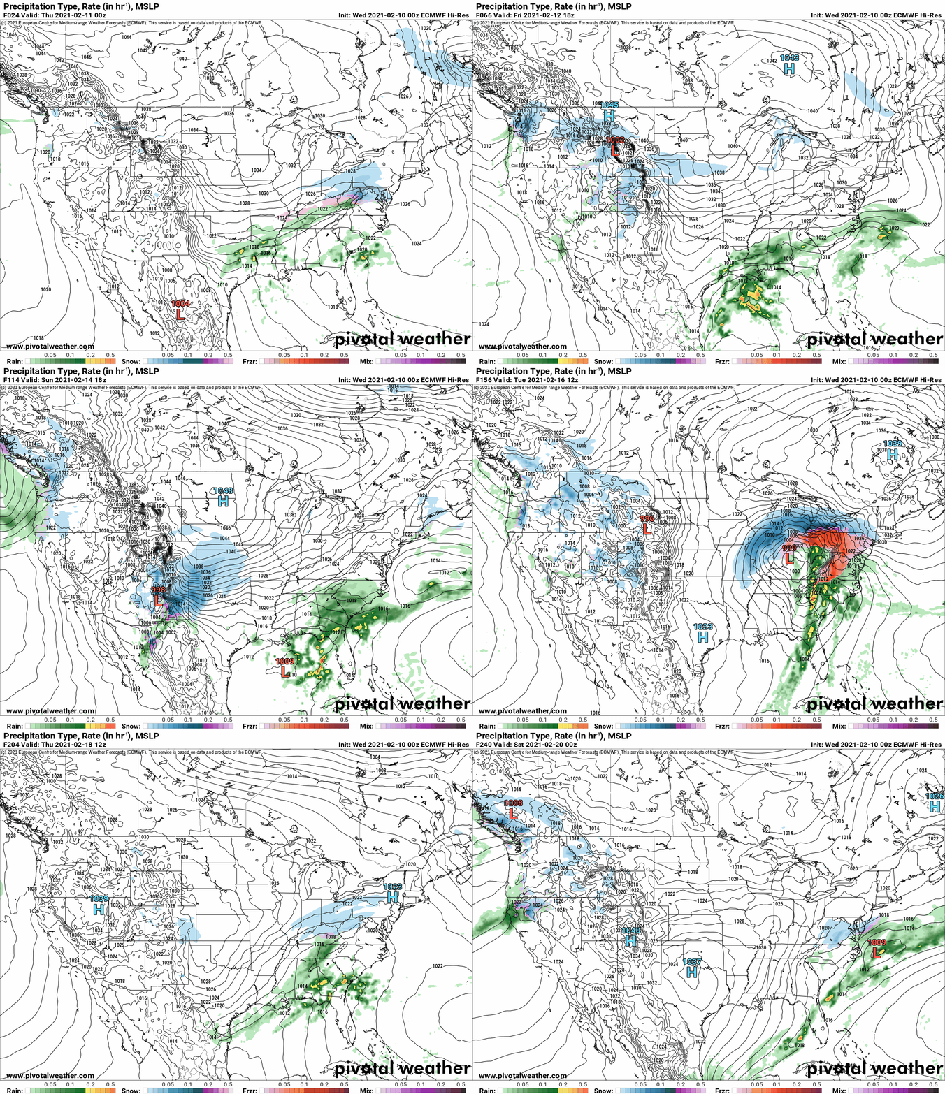
Saturday night into Sunday morning, some snow from a storm passing to the south is likely to swing through. Thinking a few inches… could be more, but not double digit snowfall.
TUESDAY 2/16 to WEDNESDAY 2/17… Euro flashes possible ICE STORM. With bitter arctic air in place and the jet stream plowing overhead, if this storm does indeed go up the west side of the Appalachians as indicated right now, that is an ICE STORM SETUP. It is WAY TOO EARLY TO SAY FOR SURE… but again I’m telling you pattern recognition. This is an excellent pattern for it. Stay tuned. If it goes south of Upstate NY instead of west, BIG SNOWS. If it goes west, BIG ICE. No specifics again, but put next Tuesday and Wednesday in the back of your mind something will be coming. We’ll sort out what as it approaches. Again, don’t ask specifics until we are inside of 72 hours. It’s just not reasonable with modeling and this fast moving pattern.
Get out riding. Now. That 7 day guarantee I gave yesterday is now 6 days today. 5,4,3,2,1… If you don’t enjoy winter excellence now, it’s your own fault. Carpe Diem. Ride safe, Ride right, respect clubs, landowners and your fellow riders.
Tomorrow morning a brand new Guide to Your Ride Podcast with the latest from the clubs in lieu of the Morning Blog…
Rich

