The latest on our current storm, a look to the end of the week (NO BLOWTORCH THAW) and a long overdue visit from our northern friends is on the schedule for this edition of The Morning Blog.
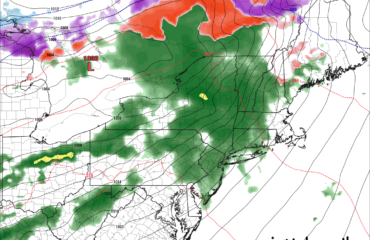
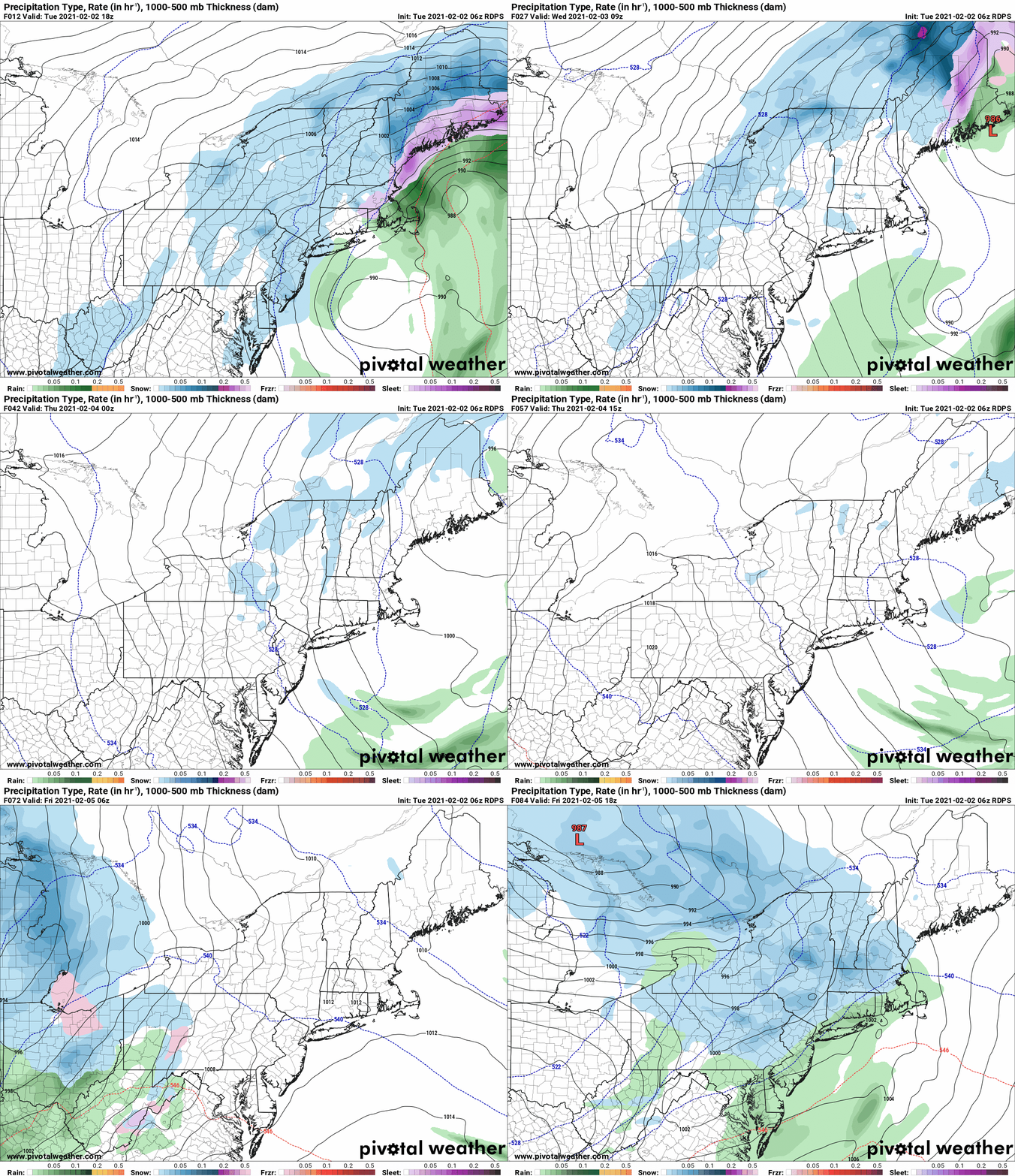
HERE AND NOW: The big burst of snow we were expecting is on schedule, and will gradually fall apart as the day goes on. Unless you are in CNY and the Finger Lakes, where lake enhancement will take over this afternoon through Wednesday AM, the heaviest snows are over for your location. That does not mean you won’t see accumulations over the next 24-30 hours, it just won’t be at 1-3 inches an hour unless you are in the Syracuse/Rochester corridor, the Finger Lakes and points SE of Lake Ontario. There may be light response off Lake Erie for our friends in WNY, but not as much. Here is the latest run of the RGEM (or RDPS) which shows the storm’s final act over Upstate NY, a quiet Thursday and the Friday system… which because of this storm NOT going out to sea and lifting north, means we have cold air in place and the jailbreak thaw indicated several days ago WILL NOT HAPPEN. Friday will be mainly a snow event, I would at this early stage call modest or run of the mill for mid winter. Looks like a few inches to several inches… but not double digits.
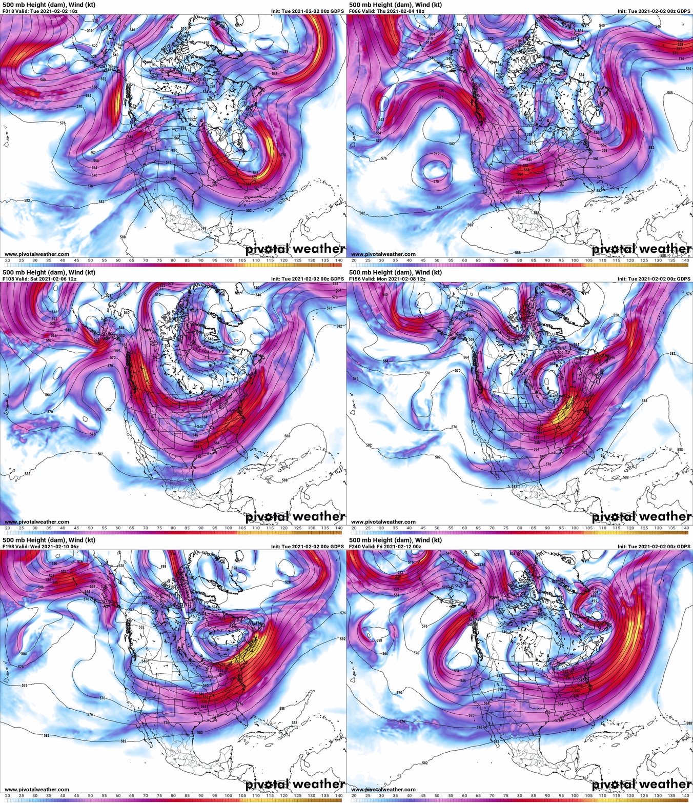
The bigger story is the fact we have a big ridge over the Pacific going into Alaska later this week into the weekend. That’s going to do something not done yet this year: TAP INTO THE BITTER COLD THAT HAS BEEN FESTERING IN THE ARCTIC FOR MONTHS. The type of air we have not seen this winter, or honestly in 2-3 winters. And it’s sending it towards the eastern half of the USA. It’s friend, the polar vortex will also get a free ticket to ride.
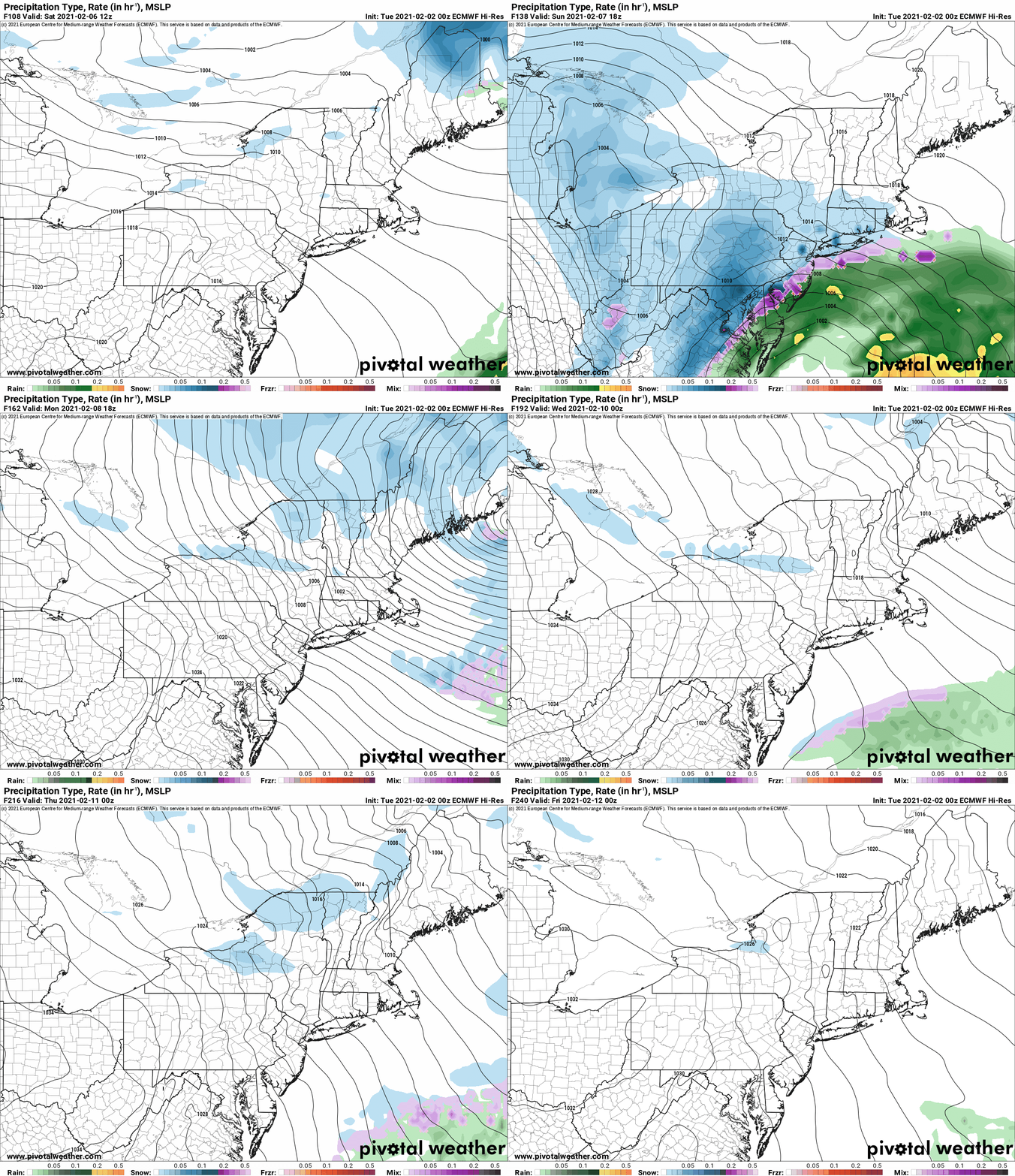
This sets up next week as the coldest of the year. This means there is big snow potential from more storms. Don’t take the model verbatim, but there will be something somewhere early next week. And notice the Euro indicating LAKE EFFECT SNOW ALL WEEK LONG. Next week could be a colossal awakening of Lake Ontario. And if we can keep Lake Erie ice free enough, an unusual late season lake effect possibility for WNY. Stay tuned on this one.
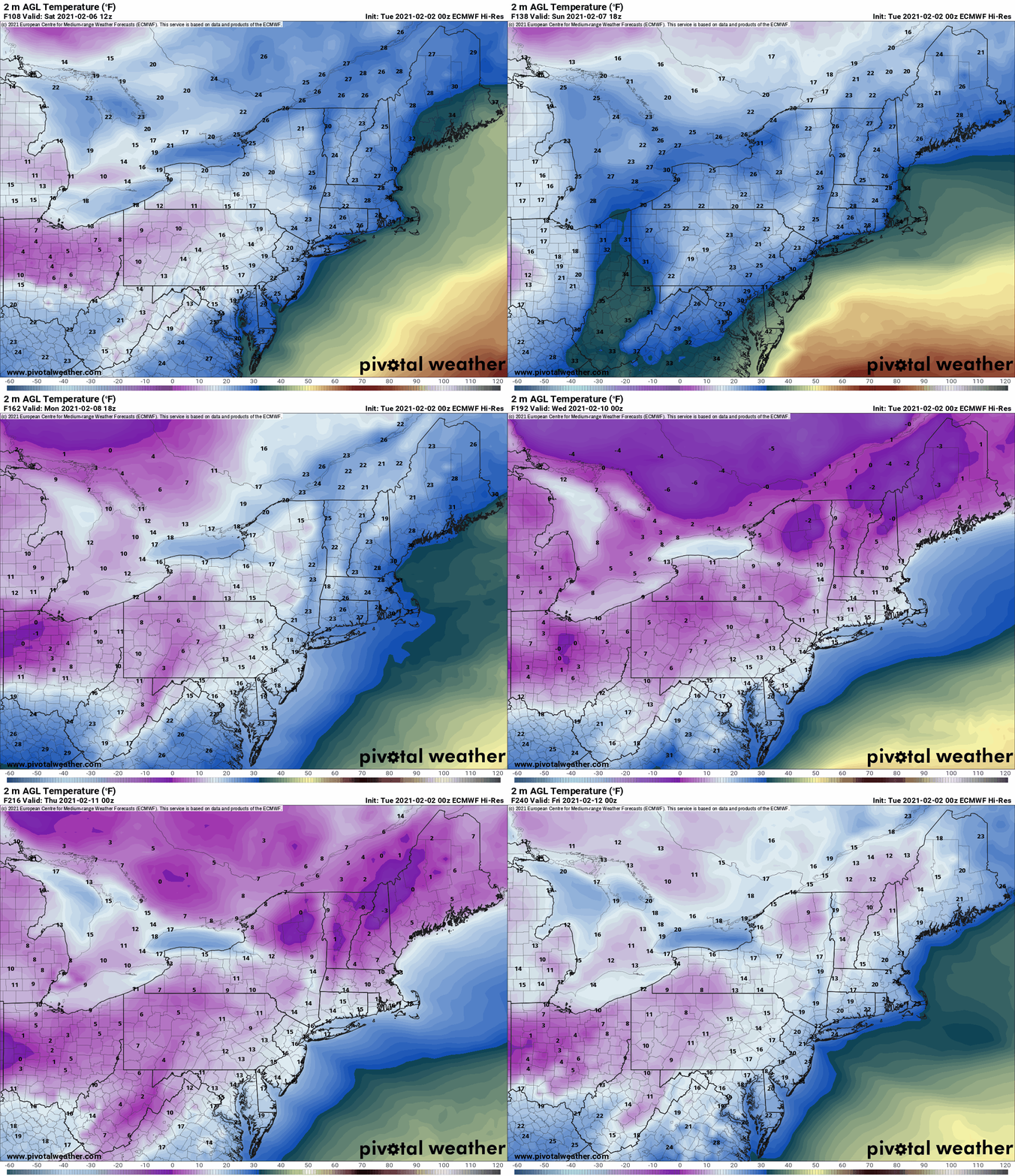
As for the cold air blast itself, the heart of the blast will not hit Upstate NY but points west. The Ohio Valley, Great Lakes and the Southeast US will see the coldest air since Christmas 2017 – New Years 2018… if not 2015. Notice OHIO will be colder than Upstate NY several nights next week with below zero air everywhere.
Snowmobiliers the bottom line is this: Heart of the winter is NOW and through the next two weeks. Confidence is high we should be good to go with good to excellent conditions until President’s Day Weekend. I’m not ready to say that particular weekend will be good, while looking good, too far away to say with confidence.
If you like to do long rides, travel to the less traveled parts of the state like northern NY (St Lawrence, Franklin and Clinton Counties) Eastern NY (Warren, Saratoga, Washington Counties), Central NY (especially south of the Thruway) and the Southern Tier, the next 7-14 days is your best opportunity. Take advantage. CARPE DIEM.
Rich

