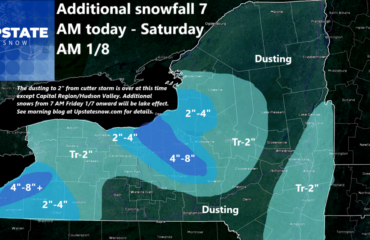
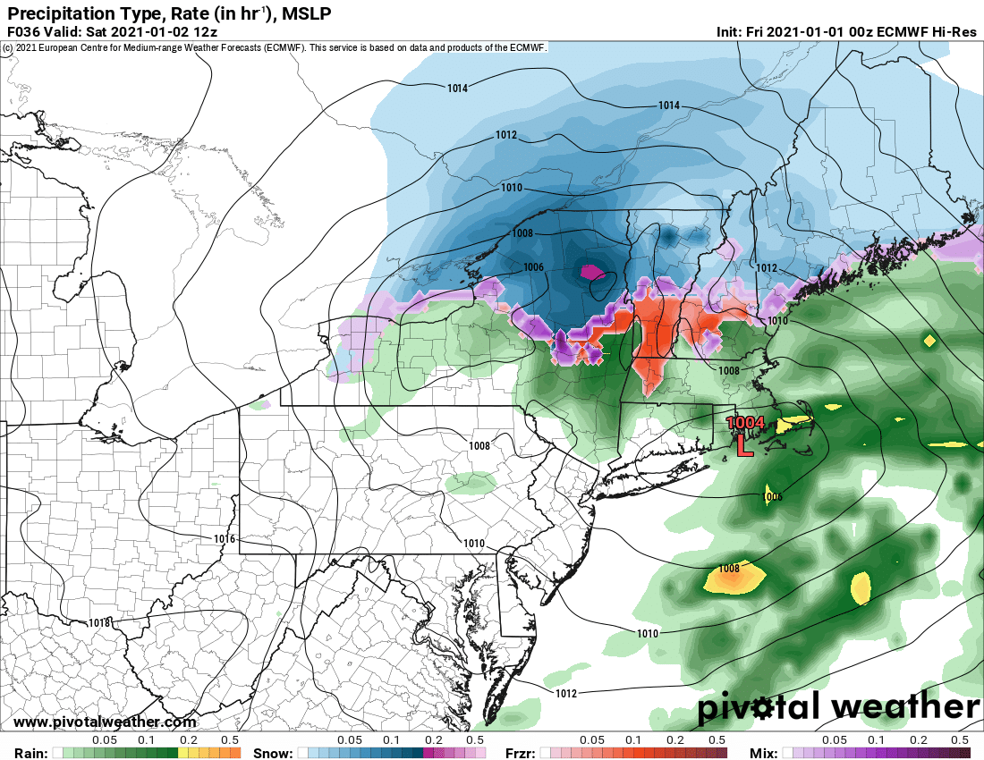
Winter Weather Advisories up through tomorrow morning for what I like to call a “mix mess”. This is when you start as snow, go to sleet and freezing rain, then to rain, then to mixed precip then back to snow. This afternoon and evening travel conditions will get slick across Upstate NY as that scenario unfolds. Expect icy conditions, more than the snow. Higher elevations north of the Thruway like the Tug and the Adirondacks stand the best chance of seeing less rain and more mix to snow. That’s a good thing. It would not surprise me if some parts of the Tug and Adirondacks do squeak out 3-6 inches of snow in the higher elevations by Saturday AM. Lower elevations probably enough to shovel and scrape, like 1-3 if it changes back to snow more quickly. The map looks impressive but it’s just for one frame. Lets hold out hope it’s more snow than anything else N of the Thruway and this storm overperforms the above expectations. If the forecast is off, better chance this storm goes more than expected than fizzling out.
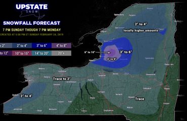
We get a short break after this Saturday PM into early Sunday. The rest of Sunday another system approaches with mainly snow this time around. Since we catch a break and the storm tracks south and east of Upstate NY, this should ensure that, but with the storm weak (above 1000 mb), no huge high for cold air reinforcements, and lack of strong dynamics upstairs in the atmosphere, this is inches, not feet we are talking about. Maybe another 2-5, 3-7 in the snowbelt areas?
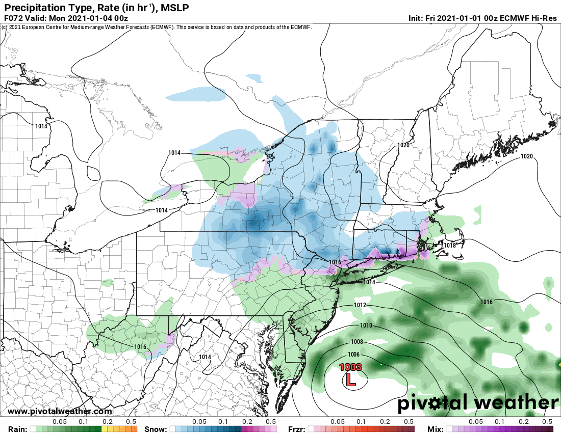
If the predictions above pan out as or better than expected, we will see north of the Thruway the best riding potential we will have for at least 10-14 days, if not longer. Bottom line – For Tug Hill and the Adirondacks we expect things to get better. Not great, not midseason form, but better than they are now. Take what you can get.
The big issue next week is the lack of cold air. Cold being defined by purple tint in the 850 temps, one mile high, you need at least -10 C to initiate lake effect and guarantee daytime highs don’t get much above 35 F and lows are below freezing. You see the cold does try to hang on over Upstate NY part of the week but most of the week is milder than normal for early January. As we’ve discussed previously the lack of cold air across the northern US and Canada will be a big problem. Look at temps in Central and Easter Canada! As expected, way warmer than normal. Could be better… but could be worse too. We have no significant weather systems all next week after Sunday, so no washout rains, but I see lots of 30s and 40s by day, 20s by night with this setup, maybe teens in the Adirondacks but nothing that’s going to make tons of lake ice, or freeze trails down hard. It could be better and it could be worse.
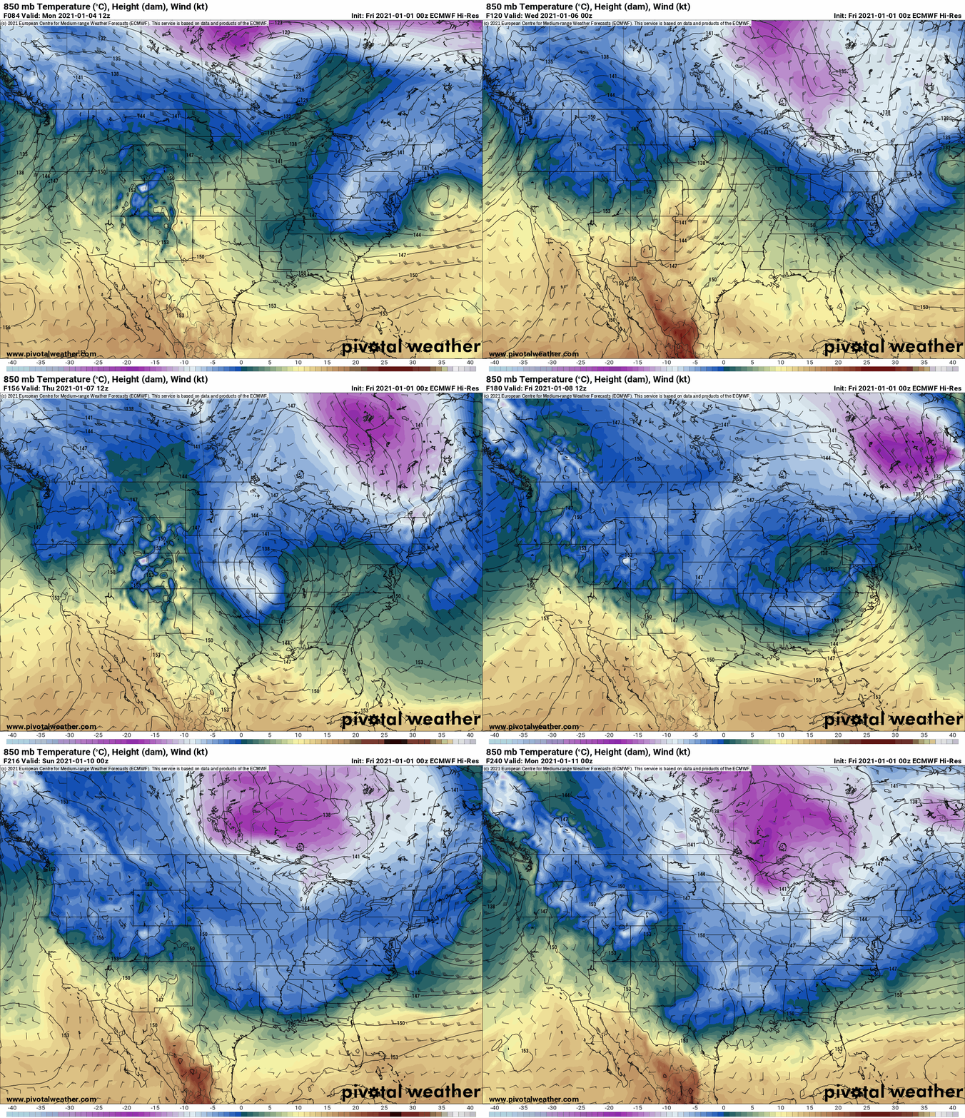
Yes the cold may come back in 10-14 days. We’ll see. If 2020 taught us anything, one day at a time. 2021 will be a better year!
Thanks,
Rich


