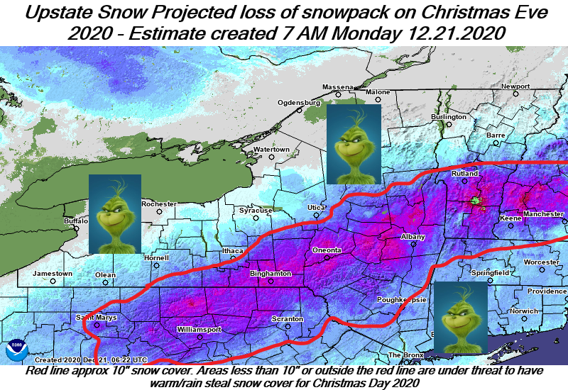
The Grinch that could steal your White Christmas is en route, ready to turn Christmas Eve into a freaking mess across Upstate NY. The map shows the 10″ snowpack line as of this morning. It’s areas that have LESS than 10″ of snow pack that are most likely to lose their snowpack Thursday. Based on the warm surge and incoming heavy rains of 1-2 inches, I believe this is unfortunately likley.
Man… 2020 just won’t give up. OK so here are the details and changes and likely impacts on trails that are about to officially open after the sun set tomorrow night (Tuesday) SO LONG AS THE CLUBS HAVE PREPPED TRAILS AND GIVE THE ALL CLEAR…
Today – Weather is relatively quiet.
Tonight and Tomorrow – Snow showers with weak clipper crossing Upstate NY. Dusting to an inch for most places.
Wednesday 12/23 – THIS IS THE DAY IF YOU WANT TO RIDE (SOUTHERN ZONE). IF CLUBS ARE ABLE TO OPEN in southern zone on this first full day of snowmobile season for the rest of Upstate NY (DO NOT GO UNLESS CLUBS SAY IT IS OPEN AND ALL GATES ARE OPEN), THIS IS THE DAY TO RIDE. So listen up Southern Tier, Catskills and Capital Region, if your clubs do make the call to open. This is your shot. One day only. TAKE IT.
Christmas Eve 12/24 – I’ll let the 7 PM Map for Christmas Eve speak for itself. Expect major issues with street and road flooding with 1-2 inches of rain falling on the big snowpack out there in spots.
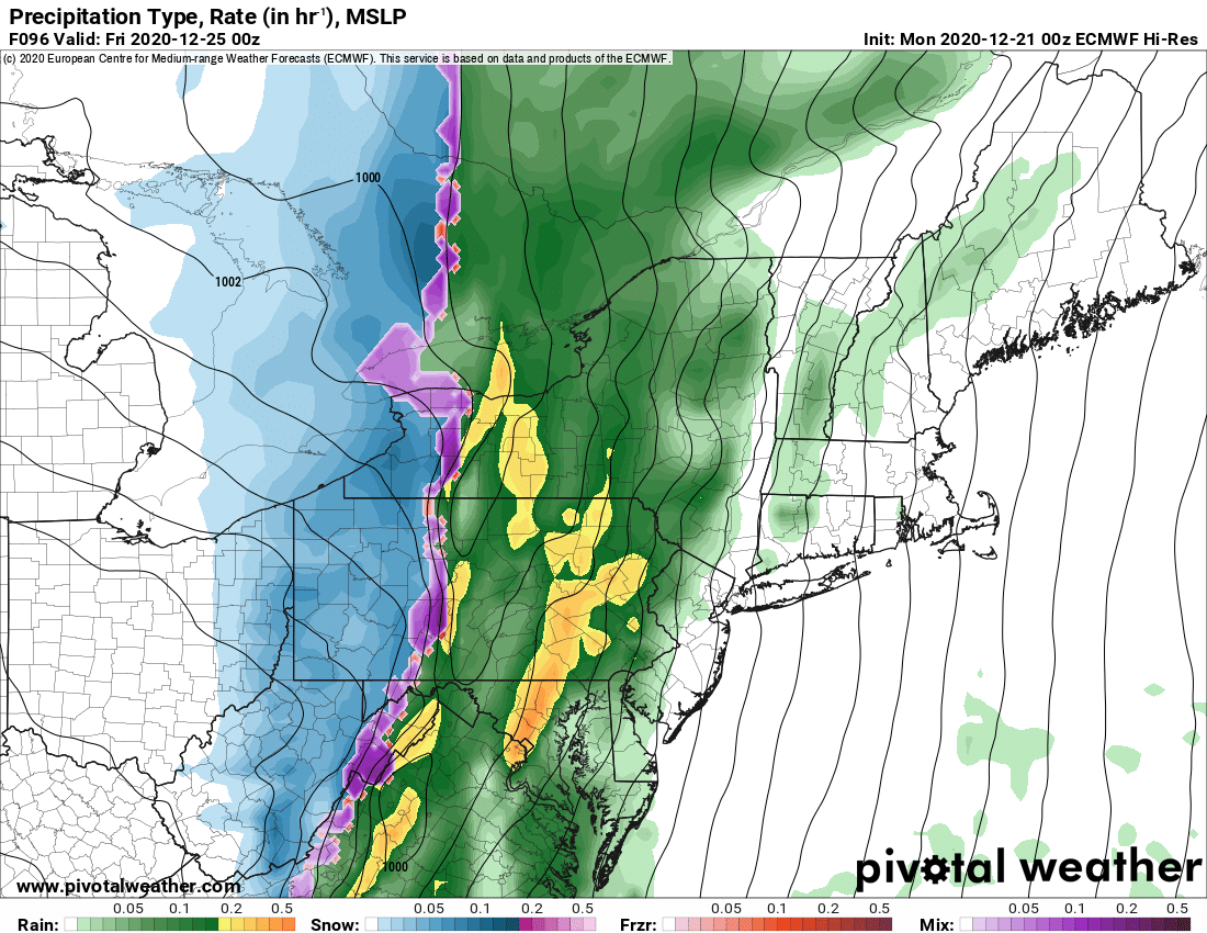
It’s not all 100% bad. There is an indication as the cold air returns behind the cold front a quick few inches could fall in back of this strong cold front and line of drenching rain. Not confident enough to say for sure. This is the ONLY hope the Grinch doesn’t win on Christmas Eve from his rainstorm. If the change doesn’t happen and/or if it’s not enough where you are, and you have less than 10″ of snow on the ground right now, chances are high you wake up with a green Christmas Friday.

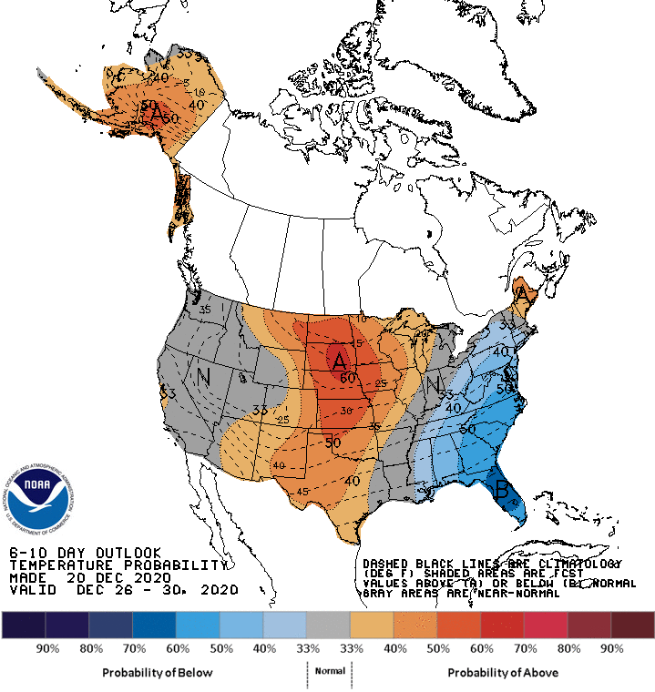
In back of this Christmas Day will be cold, below freezing with gusty winds. I hope in the next few days we can focus on Lake Effect snow potential. And it is indicated in the Euro on the longer range on Christmas Day and into Saturday 12/26 and Sunday 12/27. The cold air will stick around for several days. So again, it’s not all 100% bad.
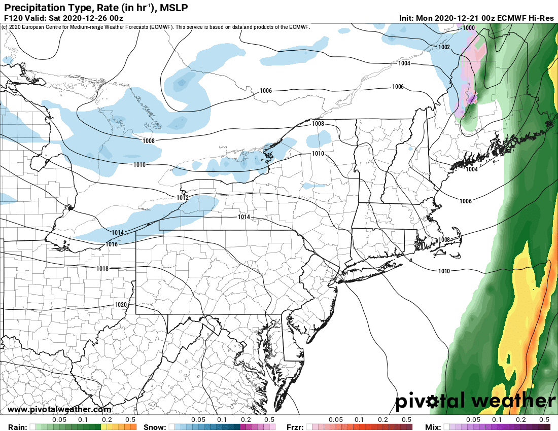
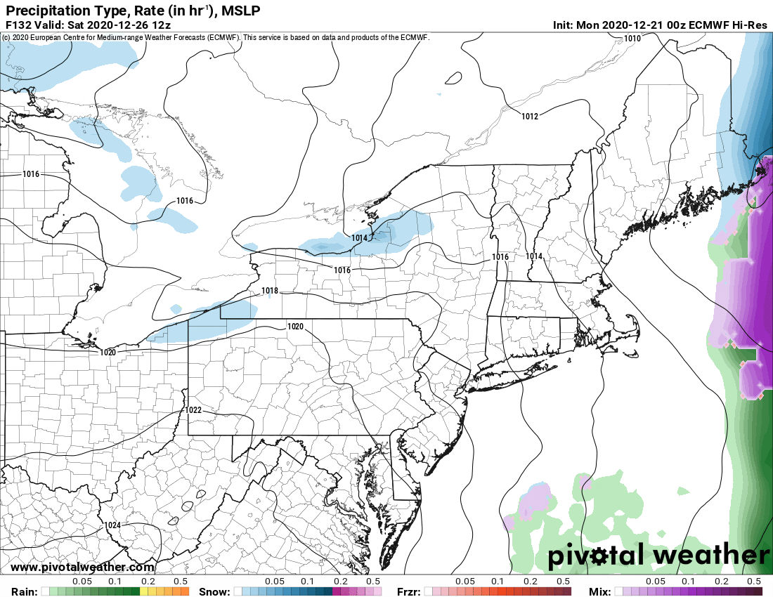
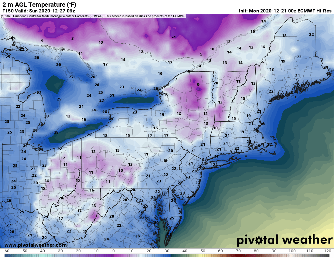
BOTTOM LINE – If you can ride on clubs in northern zone that are open, DO IT NOW THROUGH WEDNESDAY. If you are southern zone AND YOUR CLUBS GIVE THE OK TO OPEN TOMORROW NIGHT AFTER DEER SEASON ENDS, RIDE IT WHILE YOU GOT IT TOMORROW NIGHT AND WEDNESDAY.
Christmas Eve will be a hot mess.
Christmas Day will bring back winter weather and the hope for more snow, especially lake effect snow.
The period between Christmas Day and New Years Day will be cold as previously promised. For those areas with deep snow that survive our Grinch attack on Christmas Eve, it could actually set up the makings of a nice base across the trails of the Southern Tier, Catskills and Capital Region… IF THE WARM AND RAIN OF CHRISTMAS EVE DOESN’T TAKE IT ALL AWAY. Whatever survives will set up a nice base and any snows Christmas Day and beyond may bring good riding opportunities say from December 27-January 2. Notice I said the 27th. It’s going to take a day or two for all that water to ice back up and for things to at least partially freeze back down. These things are hard to call with certainty. Check back for updates as usual.
The popular trail areas of the Adirondacks, Tug Hill, CNY and WNY this is not a good outlook in these areas especially since your snow pack and “starter” base is thin at this time. It’s going to be touch and go. Even if a few feet of lake snow hits after Christmas in snowbelt areas, if there is little base and heavy holiday traffic on it, it may not be the best. Stay tuned. We’ll be on top of it. Chris Rinck and I will put out a “Guide to Your Ride” Podcast Wednesday Night 12/23 and give the best guidance with the latest weather info and guidance directly from snowmobile clubs.
Rich

