Ride Report 01-20-2020
This time we were graced by yet another father/son combo… my pastor and his son, a good friend of Zack’s. They had been itching to ride and we had a narrow window to do so. We were ready to set out from the farm in Remsen onto Penn Mountain then head out to Ohio again when pastor’s old sled which fired up just fine earlier… dies. Nothing. Our friends lent them one of their sleds so we could still do the ride. After the slight delay with starlit skies and temps falling into the single digits, and a quick gas up at Bailey’s, we headed for Ohio at 6:45 PM.
We were heading into Ohio to see a set of truck lights dead on the C4 trail going up the hill from South Shore Rd from Hinckley. It was someone hopelessly lost and using his GPS to find a friends house. After a few minutes waiting for him to back out without ditching the truck or ripping the trail to shreds, we helped guide him out, packed over his tracks and carried on. Same run as last night on C4 to C4B heading to Grant then over to Snyder Road to the Ohio Tavern. Because I’ve been so busy and days have blended in for me, I forgot Ohio Tavern is usually closed on Mondays and Tuesdays. Zack and I were dreaming of their stuff Cheeseburger only to have hopes dashed when we arrived. We’ll be back another day for that.
Backtracking to the farm icing issues for all four of us became a problem as there was no wind and perfect starlit skies. It had plunged to -5 F in just an hour and we were all starting to get cold. We did the best we could and enjoyed the groomed, flat and enjoyable trails across both the Ohio Ridge Riders and Penn Mountain system until we got back to the farm at 8:45 PM. Another two hours. Another 40 miles in the bank. Another great time making great memories with our pastor and his son, a great family that has encouraged and invested so much into us over the years.
It took blasting the heat all the way home and a long hot shower to knock the -5 F chill out of me.
The upcoming weekend storm/possible snow event
Yes the models both in regular run and ensemble runs are indicating strongly Saturday evening that low pressure will be to the south and east of Upstate NY. How strong? Not very. Cold air? Borderline as we’ll be above freezing Thursday and Friday across all of Upstate in advance of this. Cold high pressure moving in to the northeast of us and implied flow from the north into the low to our south, drawing the cold air for snow back into Upstate. Why I’m saying this? To highlight this is not a perfect pattern for a Nor’easter. I’m aware that there are more wild forecasts out there that this could dump over 3 feet of snow. THAT WILL NOT HAPPEN.
Could we end up with a foot or more in some places? Anytime you get a low pressure developing off the Atlantic coast this time of year, yes that potential exists. Is it a guarantee? No. This may end up being a lighter event, or it could slide south of us or we could get a decent 10-15 inch snowfall. The jury is still out on this.
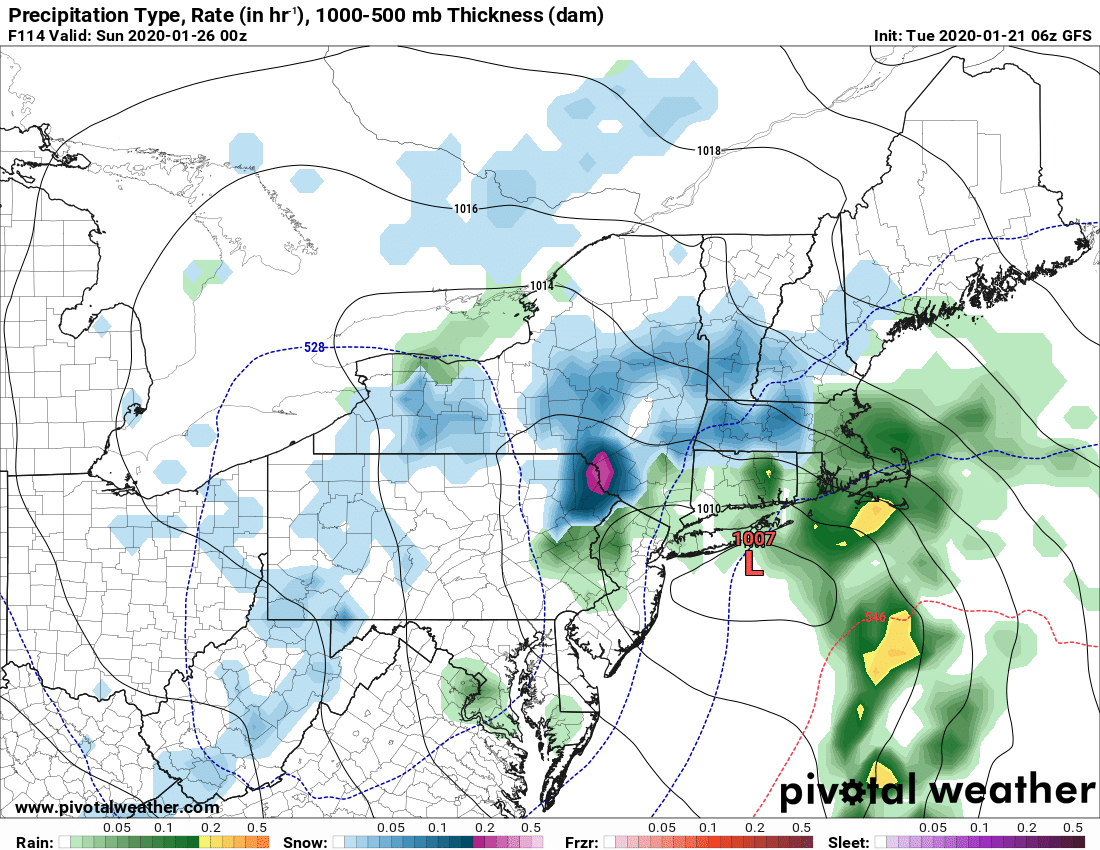
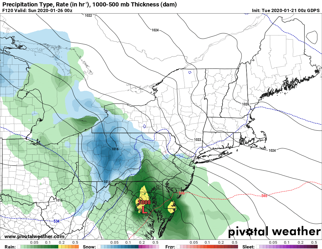
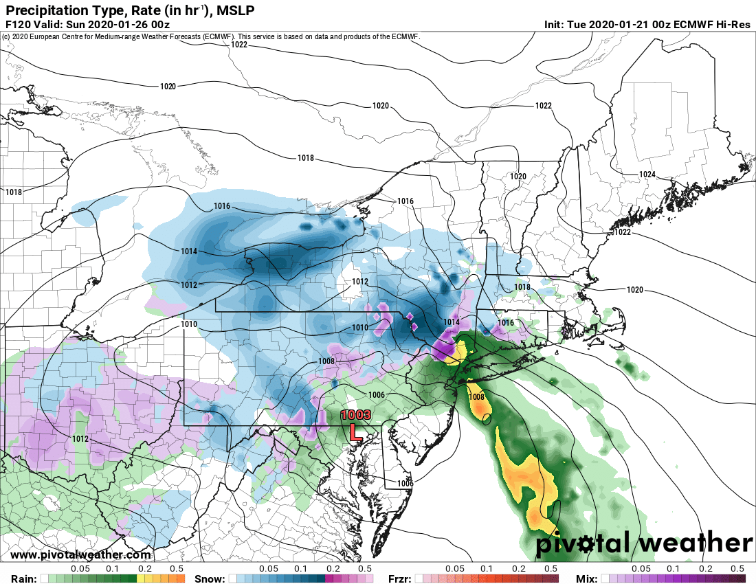
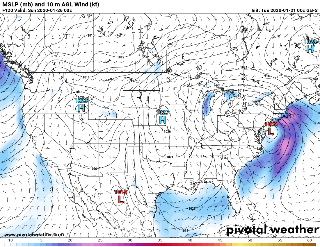
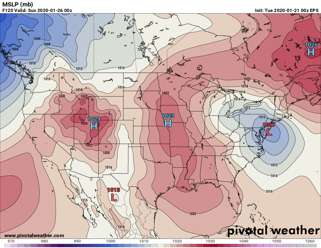
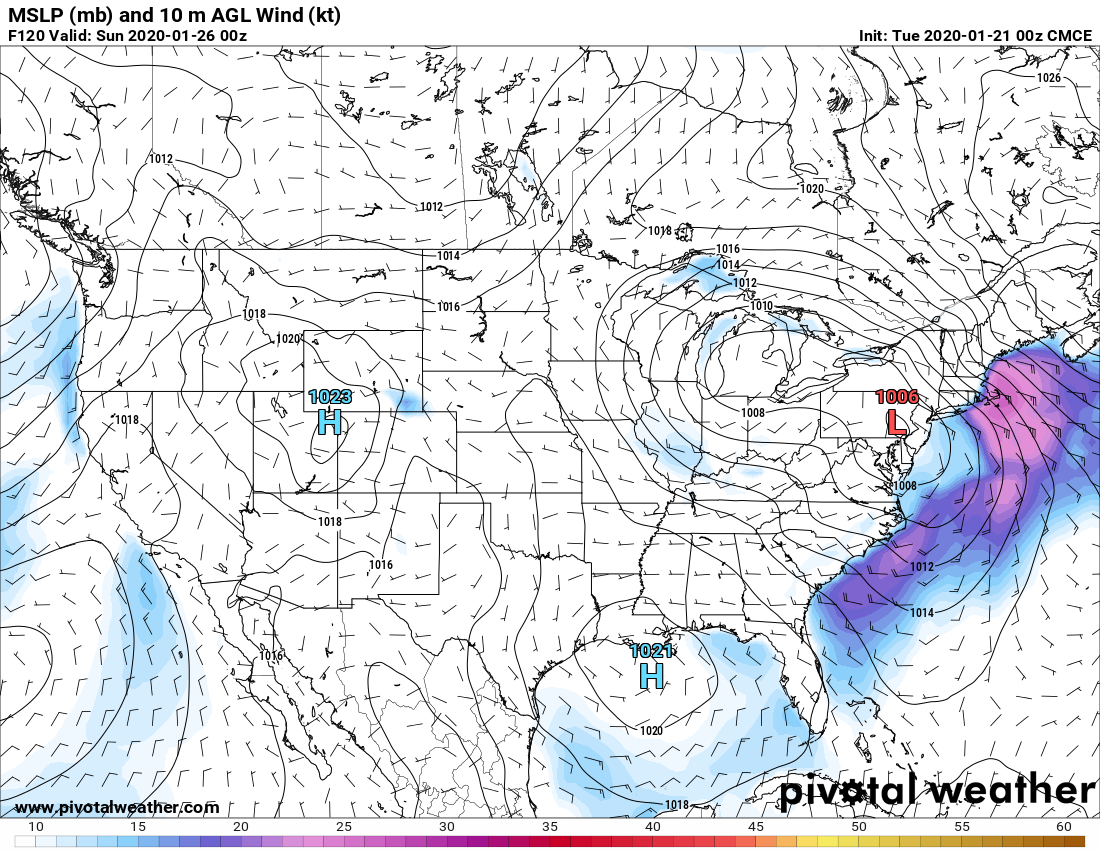
Bottom line: It’s dry until this weekend. There is still 5 days to go. Anyone putting out model maps or saying this is the big one is speculation. And wild speculation at that. Do I think we’ll get something? YES. What I don’t know yet.
I do know that next week for riding could be better than this week. I hope so. Because heading into February… Uh… Yeah… I’ll save that for tomorrow’s morning blog.


