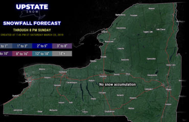
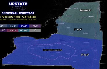
Well that was an awful weekend for so many reasons. 60F + weather, heavy rain and wind that wiped out the snow cover except for a few patches here and there on the Tug Hill and in the Adirondacks… and viral social media posts that next weekend could feature a “winter hurricane” with feet of snow across Upstate. Yeah… this is what happens when April 12 arrives on January 12. Winter please???
If you want to see a video I posted on the Facebook page showing more detail YOU CAN VIEW IT HERE.
Next three days will be relatively quiet with above freezing days and below freezing nights. In January that’s above normal temps. A clipper system Wednesday night into Thursday could bring a light and modest snowfall mainly for areas N of the Thruway. We plan to do a snowfall map for this system in tomorrow’s morning blog.
After that the “storm”. Yes I think there will be one. No I don’t know precisely at 5-6 days out what we are going to see out of it. Still a lot of time to watch this. The point is that storm will approach from the west and primary low tracks NW of Upstate into Ontario. This is a warm track, as we’ve seen a lot of this winter, which means a very high likelihood snow mixes with sleet/frz rain or just changes to rain, before changing back to snow as the secondary low gets going off Long Island and Cape Cod. Yes lake effect snows and much colder air next Sunday 1/19 is possible.
My thoughts for next week are in the graphic below. Lots of time to watch.

Bottom line – If you come across social media posts that have wild and crazy weather forecasts or scenarios with them, especially if they are more than 4-5 days out, double check with us and other reputable weather sources like the National Weather Service and/or your local television Meteorologists. If there is truth in that post you are tempted to share, you will see it in other places. Share responsibly!
Thank you for your continued support of Upstate Snow. Have a great Monday!
Rich


