Good evening…
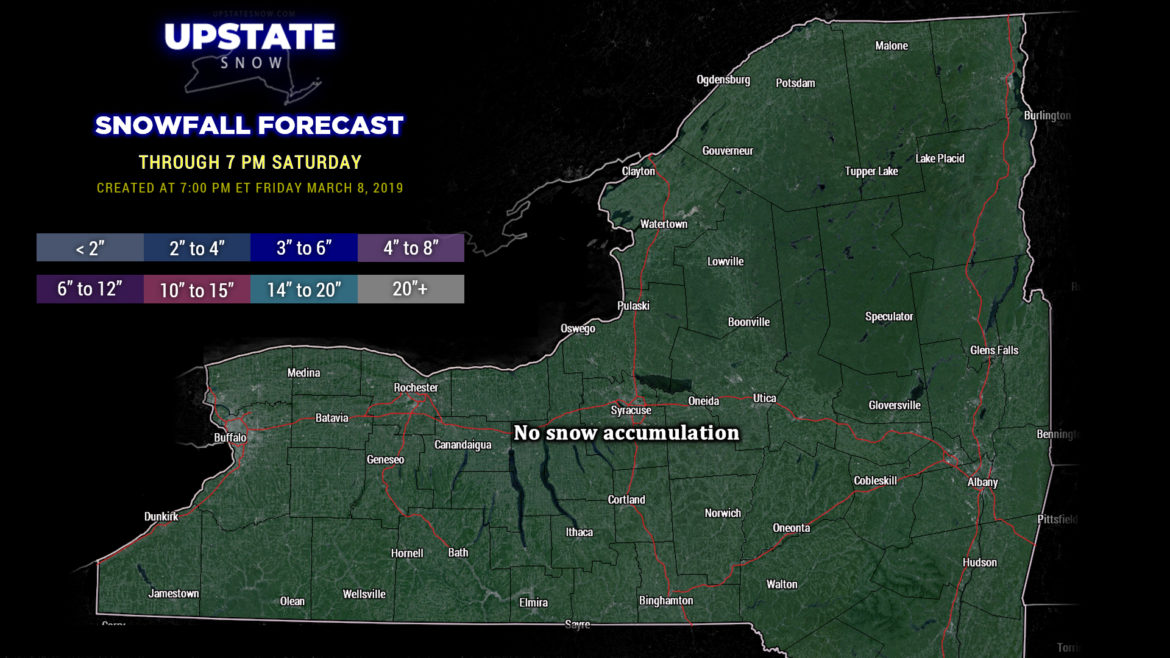
We’ll have a clear, cold night across most of the Upstate thanks to high pressure just off to our north. The snow cover will help keep temps down… lows in the single digits across the North Country and portions of the Southern Tier, with lower teens elsewhere. Temperatures on Saturday jump into the upper 30s and lower 40s for most places south of the Valley, with lower to middle 30s across the North Country and in the Catskills. This is important as our next system heads our way.
Nothing has really changed since last night’s briefing in terms of the “big picture.” A very strong area of low pressure (“stacked” – meaning low pressure at the surface and through the various mid and upper layers of the atmosphere) will move northward over the Great Lakes Saturday night and into Ontario on Sunday. This brings a warm front across the state Saturday night. Precipitation will break out from southwest to northeast before midnight; initially in the form of rain over western/southwestern NY. As this area of precipitation continues to push across the state, it encounters colder air through the column. Snow will break out north and east of a line from roughly Oswego to the NY/PA line in Delaware county. Now… here’s where things get very tricky. How long does the cold air stay in place? Right now it appears that most of the precip that falls during the overnight hours from the southern Tug Hill to the Catskills will be of the frozen variety. Several inches of snow and sleet are likely, especially in the higher elevations of the Catskills and Adirondacks. The warmer air will eventually win out at all layers of the atmosphere, but by that time much of the precipitation will be tapering off — looking at early Sunday afternoon. However, some high-res modeling shows mixed precip hanging tough over the ADKs, and by time the temps rise above freezing, the precip is done.
The warm air doesn’t stick around long as a cold front also crosses the state during the day Sunday, and whatever leftover precip we have changes back to snow showers by Sunday evening, from west to east.
Winds—This is another deep, strong cyclone will cause some strong winds over portions of the state, mainly western New York, Saturday night through Sunday night. Downsloping winds of 40 to 60 mph are possible from the Chautauqua Ridge to the Lake Erie shoreline, as well as the northern Tug Hill. The strongest winds will occur first along the Lake Erie shoreline and Chautauqua Ridge, with the stronger winds over the northern Tug and Black River valley coming Sunday morning.
As mentioned, a cold front crosses the area on Sunday. This will continue the strong winds, sustained winds 25 to 40 mph with gusts to 55-60 mph over much of western New York Sunday afternoon. The NWS has posted high wind warnings for Niagara, Orleans, Monroe, Erie, and Genesee counties from 11 AM to 11 PM Sunday. High wind warnings are up for Chautauqua and southern Erie counties from 7 PM Saturday through 11 PM Sunday… as mentioned, they will be the first to feel the strong (potentially damaging) winds in the wake of the warm front passage.
The winds are NOT expected to be as strong… or for the same length of time… as the previous wind storm. BUT… these winds can bring down trees and power lines, and result in power outages and some structural damage.
Monday and Monday night — colder air continues to funnel in from the northwest and we will be looking at some lake effect snows east / southeast of Lake Ontario. At this time it looks like enough cold air will be in place that we do stay all snow across the state on Monday. Lake effect snows end by early Tuesday as high pressure builds in.
As we look at the middle of next week, Tuesday and Wednesday appear to be dry across the state with gradually warming temperatures. Our next system … an entirely rain system … will impact the state Wednesday night and Thursday with temps possibly into the 50s in some areas.
Thanks for viewing, have a great weekend!


