Good evening…
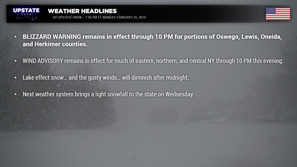
Blizzard Warnings remain in effect until 10 PM this evening for Oswego, Lewis, Oneida, and Herkimer counties. A Wind Advisory is in effect for all of central, northern, and eastern NY through 10 PM this evening. Winter Weather Advisory is in effect for lake effect snows for Wayne, northern Cayuga, Onondaga, and Madison counties.
Bands of lake effect snow extend east-southeast off of Lake Ontario all the way to the Massachusetts border as of 6:40 PM. Another thin line of lake effect extends eastward off Lake Erie… impacting southern Erie county from Angola through Springville to southern Wyoming county, into southern Livingston county. Accumulations will be tough to quantify given the continued gusty winds. Blizzard conditions continue across the Tug Hill eastward through Oneida and into Herkimer county, with whiteout conditions and extensive blowing and drifting. The “main band” of lake effect, extending ESE off of Lake Ontario, through Syracuse and extending to Albany actually has its origins off of Lake Huron. High-resolution models show this rapidly falling apart during the overnight hours. We’ve painted much of CNY for an additional trace to 2 inches… the majority of this will be closer to the trace amount. The Thruway corridor from Syracuse to Utica is the main target through the rest of this evening, with a general 2-4 inches… possibly a local 5- or 6-inch amount. Again, with the gusty winds, traveling this evening is going to remain very difficult. An additional 2-4 is possible outside of this narrow axis… and as before, not everyone will see these amounts. We also painted an additional 2-4 for southern Erie county extending into southern Livingston county.
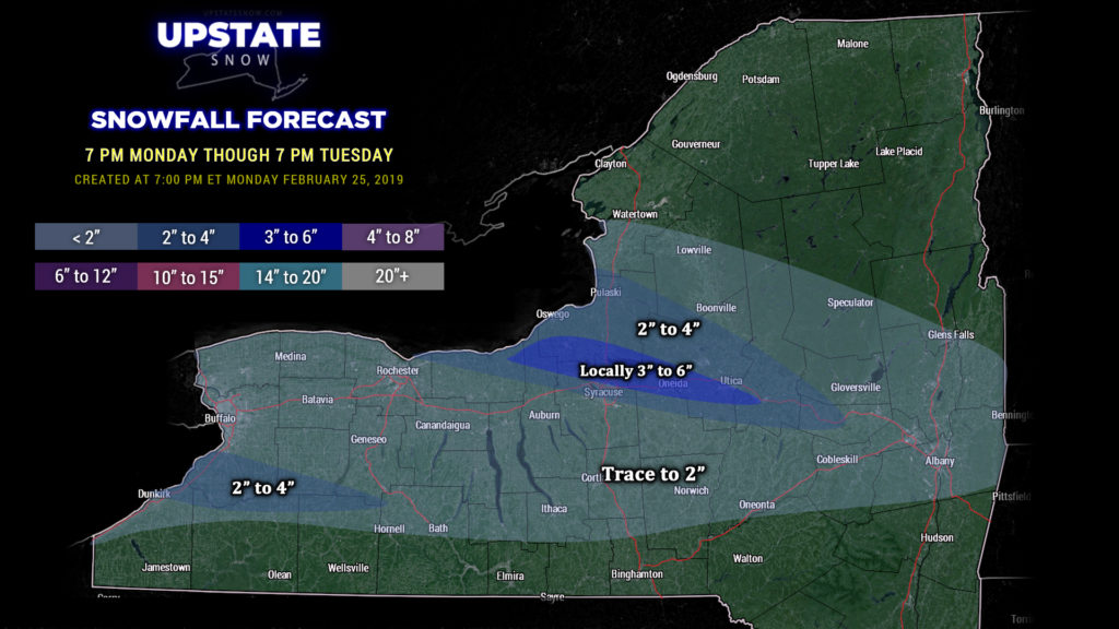
As mentioned, the LES should fall apart and dissipate after midnight as high pressure builds in.
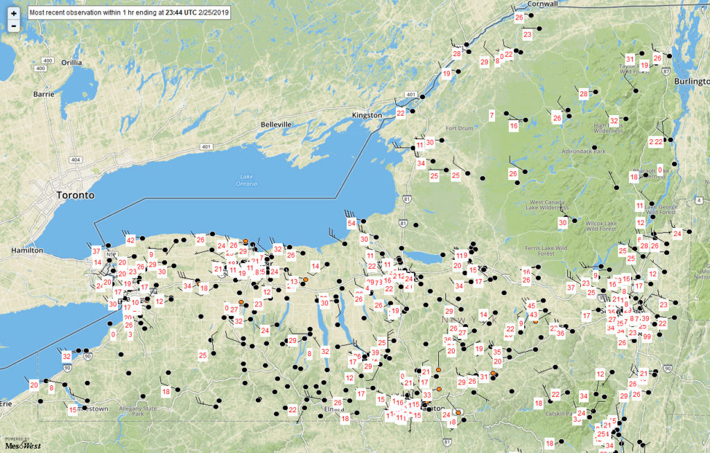
We’re still dealing with gusty winds across the eastern two-thirds of the state, hence the wind advisories. These winds will diminish during the evening and overnight as high pressure builds in. The graphic may be hard to read but here’s a look at wind gusts as of 6:44 PM ET
Our next chance of snow comes Wednesday into Thursday as a clipper system dives southeastward from the Great Lakes and then off the coast. Look at snow to develop Wednesday morning, lasting through Wednesday night. This is a weak system so we’re not looking at any big snowstorm but we will close out the month of February with at least a 2-4 style event.
As we flip the calendar to March our forecast gets pretty murky. We mentioned previously that models were showing low pressure moving to our northwest, similar to our previous storms. Well today that’s a bit different. High pressure and polar air stretching over most of Canada and into the northern US is now shown to hang pretty tough, keeping warmer air off to our south. Should this verify, the first weekend in March could be quite snowy as low pressure moves either directly over CNY or possibly just south of the state and off the coast (lets cross our fingers!!). There’s not much confidence in this though, since it’s something of a flip-flop in modeling… a more likely scenario is snow-to-rain-to-snow Saturday and Saturday night, with some lake effect to end the weekend. Too much uncertainty to make any real definitive calls.
Have a great evening and a great day Tuesday.


