Good evening…
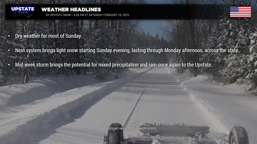
There isn’t an awful lot to talk about in the short-term. Sunday should feature dry weather about the state. Then, a weak area of low pressure will move east across Pennsylvania to the coast and bring generally light snow to much of the Upstate later Sunday evening through Monday. The operational models are all in agreement with this system, and are in pretty good agreement on the snow amounts… we’ll be looking at a general 2-4 inch snowfall for areas south of the Thruway, with the majority of this occurring after midnight Sunday night and ending by Monday afternoon. Lesser amounts north of the Thruway, likely 1-2 or 1-3 inches.
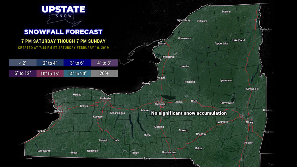
The snow map is through 7 PM Sunday, and we’re not expecting any real accumulation. Again… snow from the next system comes Sunday night and Monday.

Some lake effect looks likely later Monday into Tuesday but as of right now amounts don’t look to be overly impressive. Tuesday will be the coldest day of the coming week — highs in the teens for the North Country, with readings in the 20s across the majority of the state south of the Thruway.
And it goes downhill from there. 🙁
Our attention turns to the middle of the week, and it’s not very good news. In a cruel repeating fashion, an area of low pressure will move from roughly northern Ohio/Indiana northeast into Ontario and Quebec, while a second low forms somewhere along the coast. A warm front will lift north over the area Wednesday; precipitation in the form of snow should break out with this front. Now, stop me if you’ve heard this already but guess what? Temperatures rise Wednesday night… snow transitions to mixed precipitation / ice… before changing to all rain early Thursday. Right now (admittedly several days out) the modeling isn’t overly excited about precipitation amounts, but as has been the trend this season, that remains to be seen.
The storm pulls out of here Thursday night into Friday. Also as per the routine this winter, colder air will flow back into the state on the back side of the low, with some lake effect once again downwind of Lake Ontario. Unfortunately though the cold just isn’t going to stick around very long as ANOTHER storm system appears to take a very similar track by the end of the week.


