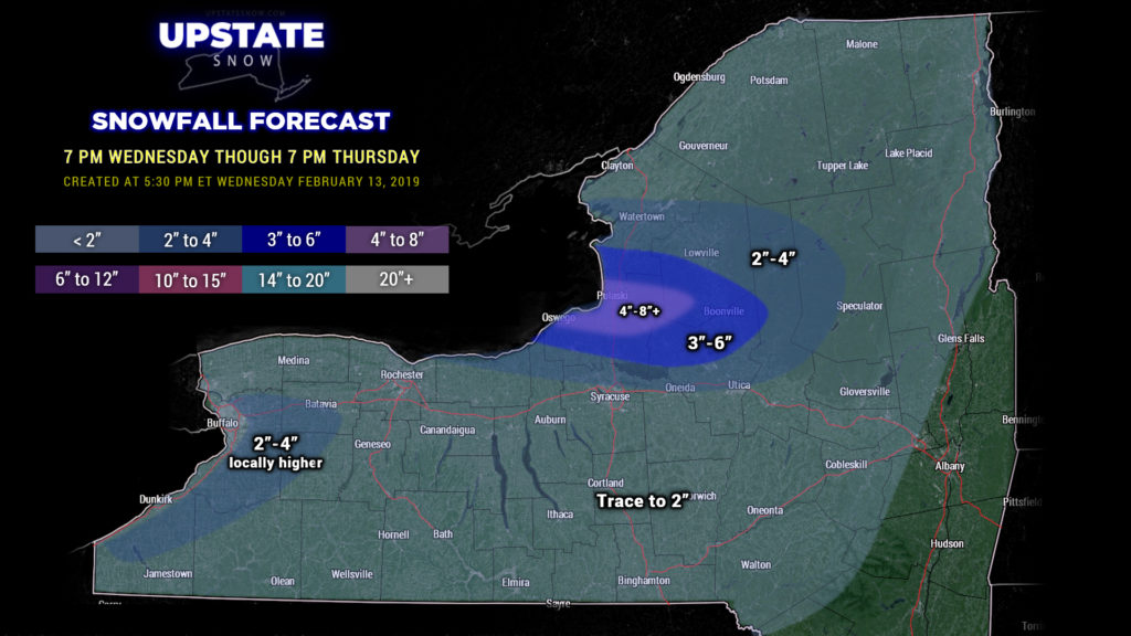
Good evening…
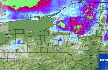
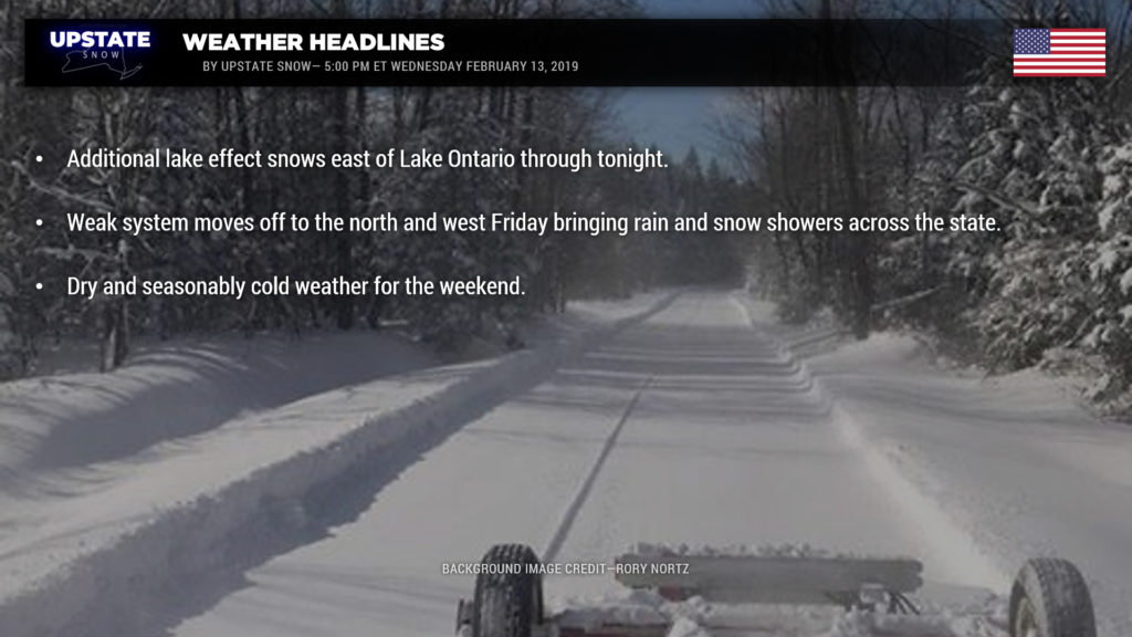
Low pressure will finally pull away this evening, moving from southern Ontario northeast through Quebec. Lake effect snow east of Lake Ontario will diminish by Thursday morning. Look for an additional 4-8 or perhaps 6-10 for Oswego county as the lake band pushes south off the Tug later during the overnight. The whole thing falls apart and ends Thursday morning.
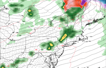
The next system takes greets our area Friday. Low pressure will move well off to our west, northward through Wisconsin and into Ontario. Warm air lifts northeastward well ahead of this; rain and snow showers are expected Friday across the state… transitioning to snow showers as another cold front crosses Friday afternoon. This isn’t going to be a very strong system, don’t look for a lot of rain to come from it. Temps ahead of the front on Friday will shoot into the 40s south of the Thruway, with mid 30s north. Temps fall behind the front with a renewed round of lake effect Friday night into early Saturday.
Much colder air (more seasonable air, in other words) will build across the state for the weekend. Looking at highs Saturday generally in the 20s statewide, lower 30s for the Hudson Valley. A little bit colder on Sunday…. highs probably not going above 20 for the North Country. Low temps early Sunday morning will be zero to 5 above for the North Country, in the teens everywhere else.
Models point at a dry weekend. A system looks to slip off to our south on Monday; this may bring some snows across the Southern Tier. Surface high pressure then takes control into the middle of next week.
Another note — there is ice mixed in with the snowpack everywhere so when you’re riding, slow down, and always check in with the local clubs for updates.
Take care…


