Good evening…
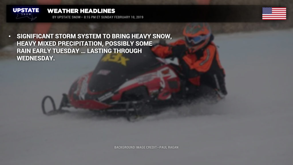
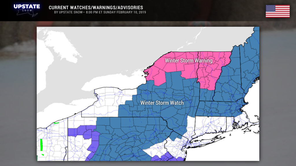
A serious… serious mess is headed toward CNY this week. A Winter Storm Watch has been posted for all but extreme western NY (Wayne, Ontario, Allegany Counties westward).
Meanwhile, Winter Storm Warnings are now up (already!) for the North Country (Saranac Lake, Malone, Plattsburgh, Massena, etc) for Tuesday into Wednesday for heavy snow… oh, about a foot and a half by early estimates.
And some areas may get rain.
Temps are going to be quite borderline — a 1- to 2-degree difference in temperatures will mean the difference between rain … or mixed precip … or a heavy, wet snowstorm.
So let’s try to make some sense out of all of this. Most of Monday should be dry with temps perhaps a tick or two above seasonal norms. On Monday night, two areas of low pressure will move northward, to the Great Lakes and off the Atlantic coast. There will be dry air over much of the state, and this is going to try to hang on like a politician slowly losing their grip on power. High-res modeling shows snow moving northward into the state in the pre-dawn hours, especially for western NY and along the PA border… lifting northward into the Fingerlakes and central Southern Tier by breakfast time Tuesday morning. The model wants to keep the dry air choking out the precip, but snow should break out for Oswego to Utica to Albany by lunchtime. By lunchtime our model shows a transition beginning for southwestern NY to mixed precipitation. The transition line pushes northward into the Valley just in time for the evening commute on Tuesday… the model is very aggressive with this freezing rain / sleet mixture, while heavy snow pounds areas to the north. The model continues to paint SIGNIFICANT mixed precipitation / ice across much of central/eastern NY into Tuesday night, with heavy snow to the north. A transition of energy will occur from the low over southern Michigan (which will be pretty robust to begin with) to the coast… but the coastal low will be lifting toward Connecticut/Massachusetts. A “break” is shown across western NY Tuesday night, west of I-81. The coastal low continues to lift northeast on Wednesday, while the Michigan low moves eastward over Lake Ontario. All precip will transition back to snow on Wednesday.
Now…. huuuuuuge caveat. That’s is what our model guidance suggests as of right now, 7 PM on Sunday evening. There is SO MUCH DIFFICULTY in determining the strength of the warmer air that will be pushing north. Warm air rises over cold air… and the timing will be CRITICAL as to how much snow falls before a transition. Also critical is how much cold air stays closer to the surface. If all layers rise above freezing, a transition to rain will occur. The various models, of course, have various outcomes here. Some say yes, a transition to rain will occur, while some say nope. The European model is the colder solution… while the NAM (and the high-res NAM3k) trend warmer.
I’m going to be really honest here: This is a miserably very difficult forecast. NWS is going with snow amounts of 6-10 inches for much of CNY through early Tuesday afternoon, and then a couple tenths of an inch of ice accumulation Tuesday afternoon / evening, before going back to snow. As mentioned, a temperature change of ONE or TWO DEGREES could take our whole situation and turn it on its head. We’ve drawn a “first call” map based largely on that, plus modeling and … really … “gut instinct.”
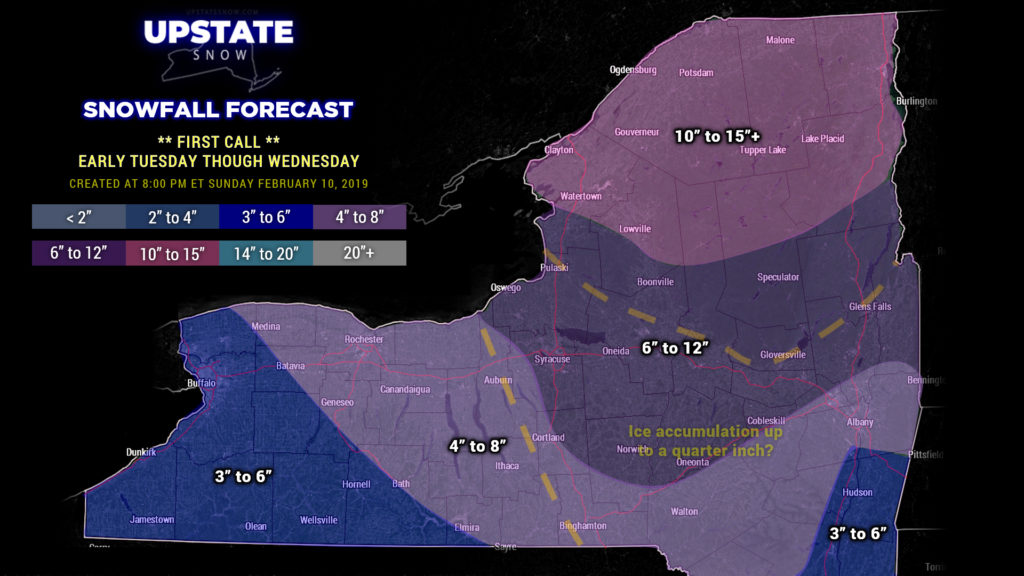
(There’s an error on the map… the dashed line just west of I-81 shouldn’t be there. ALL of the southern half of the state is in the projection for some ice accumulation.)
In the North Country, modeling says this is going to be a snowstorm. While some amount of warmer air aloft may creep north of the valley, for the most part you should stay all snow. That’s a bit of an easier forecast; if it holds true, probably looking at a 10-15 / 12-18 type event.
Tuesday and Wednesday are the target days for this system, and that’s the focus of our blog tonight. In the real short-term, not much of anything tonight through the day tomorrow… it’s late tomorrow night that business starts to pick up.
Another storm system takes aim on the northeast by the end of the week… we’ll worry about that one later. Have a good night everyone!


