Good evening everyone, Game Day!
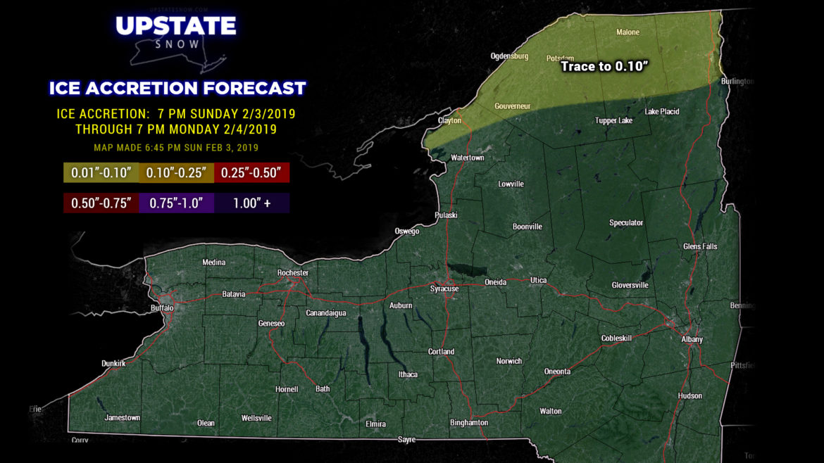
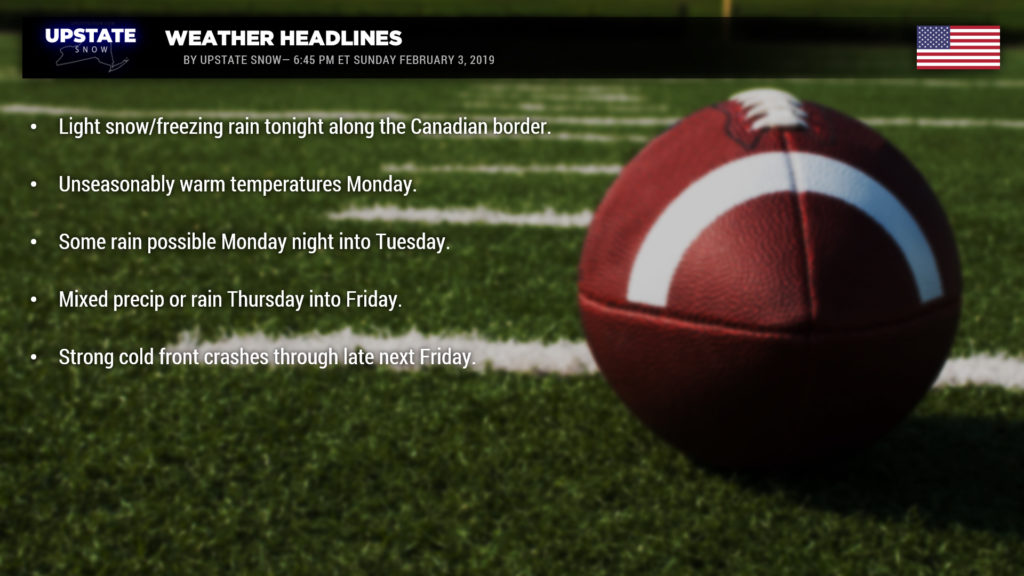
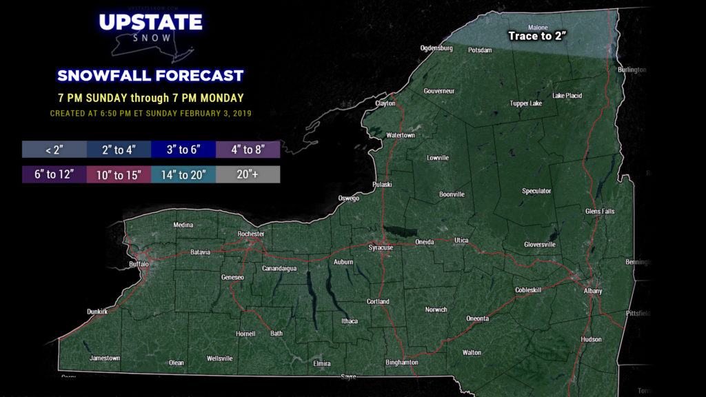
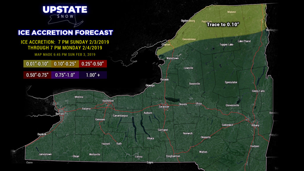
Winter Weather Advisory has been posted for the counties along the Canadian border through 7 AM Monday for freezing rain and snow. A tenth of an inch of ice is expected, along with about an inch of snow. This is in response to the warm front lifting northward, allowing mild air to conitnue pumping northward across the state. In fact… modeling is now showing that temps could soar into the 60s across much of western NY tomorrow, Rochester SW through Olean. Not sold on that, but the way this winter has gone, it wouldn’t be surprising. Temps in the 40s and 50s everywhere else, even in the North Country.
Much of Monday should be dry. Low pressure will lift northeast over the Great Lakes into Ontario. A cold front will move toward the state during the evening, and some rain is expected along and ahead of this. Modeling tells us though that most of the moisture will be north of the Thruway into Canada… but even that doesn’t look like it will be that robust. Maybe a quarter of an inch liquid equivalent.
Wednesday should be dry. Then things get interesting Wednesday night through Friday. Models are starting to finally agree on something… well they’re getting there anyway. The GFS and FV3-GFS bring a couple areas of low pressure moving northeast… taking low centers over Lake Erie and Lake Ontario… with “some” cold air in here allowing for mixed precipitation. The GFS is the weakest, the FV3-GFS is a little more robust, but the European is the strongest. The Euro also wants to keep the low farther to the west, allowing more warm air, and copious rainfall Thursday/Friday. This will need to be watched, because if it verifies, flooding may become an issue.
Regardless, a cold front is expected to plow through the state with some authority later Friday with temperatures returning to where they should be by next weekend.
Enjoy the game!!

