Good evening.
“Change.” That’s our theme this evening… as our attention focuses on the next system to impact our area late Monday through Tuesday.
Our snow squall line fractured quite a bit as it reached CNY today. There was still some CAPE (instability) at what is known as the “boundary layer” (that layer of the atmosphere closest to the ground), but the band was still able to break up a bit.
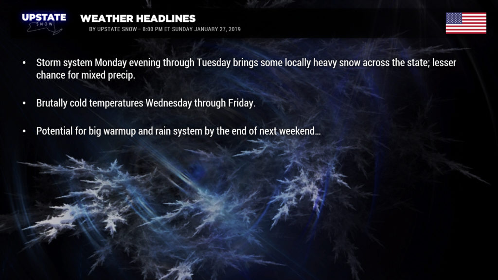
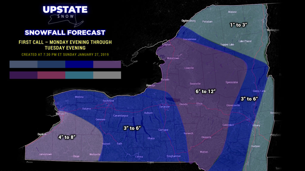
Now to the changes… Winter storm watches have been posted for areas east of I-81 through CNY, as well as most of the southern Adirondacks and areas east of Lake Ontario… mainly from late Monday through Tuesday. Low pressure will move off to our north/west late Monday and Monday night. Moisture will lift northward ahead of this as a warm front moves through. Originally it was thought that enough warm air would push northward that we’d have a mix or even some rain early Tuesday… but now it has changed and we stay mostly snow, with the possibility of an area of some fairly heavy snow late Monday night mainly from the Thruway into the ADKs. As the storm center moves to our north and eventually northeast, an Arctic front will move across the state. Low pressure will spawn on this front… and this will “enhance” a band of heavy snow on Tuesday. The area of snow gets heavier as the front continues its march eastward. Now here’s where things get kind of murky… the modeling of this band. It’s very dependent on where the low forms on the front, and the models aren’t quite in lockstep on how long it takes for the heavier snow to take place. Taking an “average” of everything, areas east of I-81 seem to be targeted for enhanced snow totals through Tuesday evening.
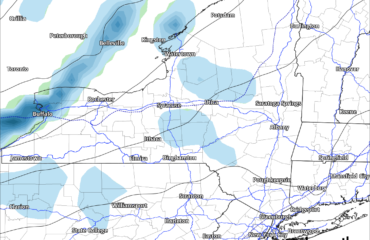
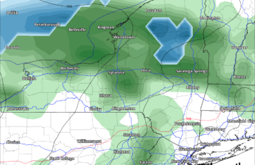
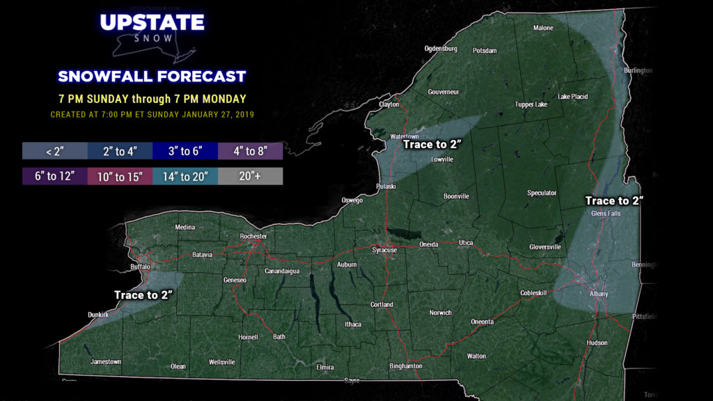
We have two snow maps for tonight– our typical 24-hour map, running through 7 PM Monday, and then a “first call” Monday through Tuesday. Tonight through tomorrow is minimal, generally a trace to 2 inches east/northeast of the lakes as what LES we have ongoing comes to an end tonight.
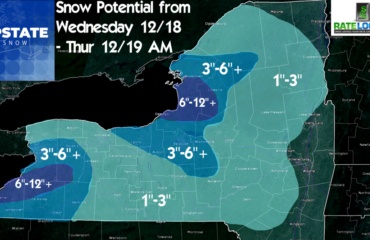
The “first call” targets much of the central part of the state… snows from the warm front pushing northward Monday night into Tuesday, as well as with the second area of low pressure expected to form on the Arctic front. There will also be some lake effect setting up behind the front. Confidence is not very high with this simply given the uncertainty in the details–by this time tomorrow we’ll be able to make a more definitive forecast….. take what we have here with a grain of salt for now.
There is still the chance of some mixed precip, especially in eastern NY during the day Tuesday ahead of the Arctic front, but all of the modeling is trending colder with this, so while we will mention that chance, it’s not very likely. I’m just not confident enough to completely rule it out.
Snow showers will continue statewide through Wednesday… but the big story here will be the very cold temperatures expected. Highs Wednesday will struggle to reach 10 above zero in many areas… might not even get above zero at all in the North Country and far southwest NY. Bitterly cold temps continue on Thursday (single digits above zero statewide for highs)… slightly warmer on Friday (teens)… warming to the 20s on Saturday (teens in the North Country). Looking at morning lows, we are going well below zero Thursday and Friday mornings… double-digits below zero. In the meantime, lake effect snow showers should continue downeast of Lake Ontario through the end of the week.
Next weekend … ugh. The models are featuring a dramatic warm-up as low pressure gets organized over southern Colorado. This low is modeled to lift northeast into Wisconsin or Michigan and pump MUCH warmer air in our direction…. with rain breaking out late Sunday/Sunday night. This trend is shown by both the “big” operational models……. this is a week out, however, so we’ll just wait and see.


