
Good evening everyone…
Cold. That’s the word for tonight as temps across the North Country go below zero once again… with single digits just about everywhere else (lower teens from Rochester through Hornell, west to Lake Erie). Saturday’s highs will range from the upper single numbers/lower teens over the North to the lower and middle 20s along and south of the Thruway.
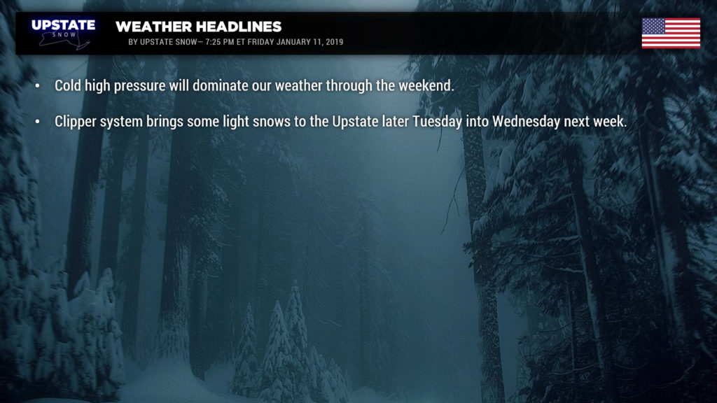
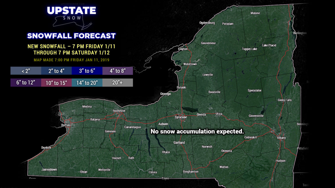
As far as new snow accumulations go, nada. This will be the case for a several days as high pressure controls our weather. A large storm system will move through the Tennessee valley and the Carolinas, and there is a fairly good bit of overrunning associated with this, but the dry, cold high pressure will keep all of that moisture to our south.
Our weather should remain dry and seasonably cold into Tuesday. Our next weather system will approach from the north, a clipper, and bring some snow showers to the state later Tuesday into Wednesday with some light lake effect after that to the end of next week.
Going beyond that point, just looking at modeling beyond day #7 (and anything at this point should be taken with a huge grain of salt), some of the modeling points to a large storm system lifting northward out of the Ohio Valley and dissipating over western NY or southern Ontario, while a secondary low forms off the coast. The modeling suggests a brief warmup with the initial surface low, which would mean rain, followed by a transition to snow as the coastal low becomes dominant. The Canadian modeling shows a 984-mb low near Long Island by Sunday morning (Jan 20) with blizzard conditions across the Upstate… but the GFS and FV3-GFS illustrate a rain-to-snow scenario. Such a long ways out, this would be mere speculative / entertainment only.
Stay warm, thanks for supporting the site, and have a great weekend!


