Good evening everyone,
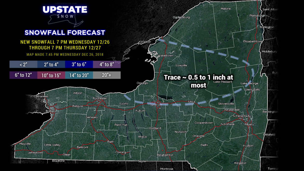
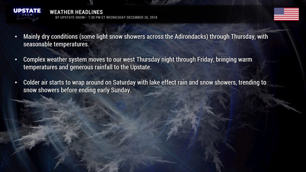
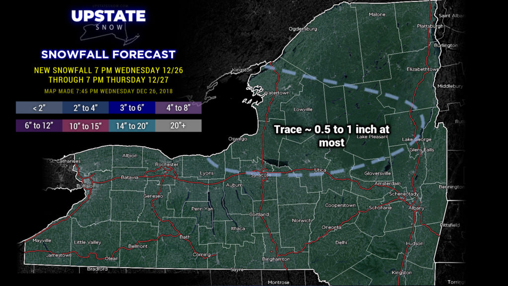
Well… we know this is getting old and getting depressing real fast. Aside from some scattered snow showers north of the Thruway, we’ll see mainly dry conditions across the state tonight through Thursday, with seasonable temperatures. Then warm, moist air starts screaming northward as a complex storm system moves from the central plains Thursday afternoon, into the northern Great Lakes early Friday morning, and into southeast Canada by Saturday morning. In trying to look for ANY good news to report, this is a fairly quick-moving system. That’s … really about all the good news I can muster from this.
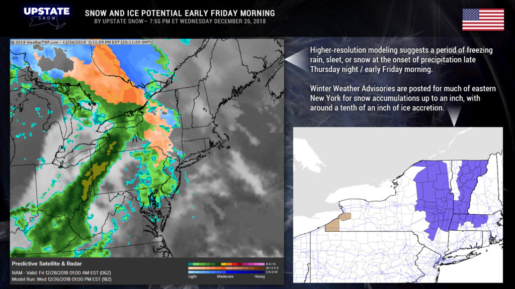
Precipitation will develop from southwest to northeast beginning Thursday evening into the overnight. Warm air will be running up and over cold air trapped at the surface across eastern New York. As precipitation falls into the colder layer it will initially start out as snow and then transition to freezing rain, before transitioning to all rain later Friday morning. Freezing rain may hang on a little longer over the eastern Adirondacks… perhaps finally transitioning around lunchtime. Snow accumulations around an inch with ice accumulations GENERALLY around a tenth of an inch are expected.
For everyone else… it’s another Friday, so of course it’s another rain event.
This is a very strong low pressure system at the surface, “stacked” into the upper levels of the atmosphere. Meanwhile, a large area of high pressure exists just off the east coast (which is why our storm system is taking the track to our west). These two combined will bring strong winds… very strong winds just off the deck (roughly 60-70 mph). Abundant moisture, combined with upsloping winds, would mean an area of moderate to heavy rain lifting northeast across the state.
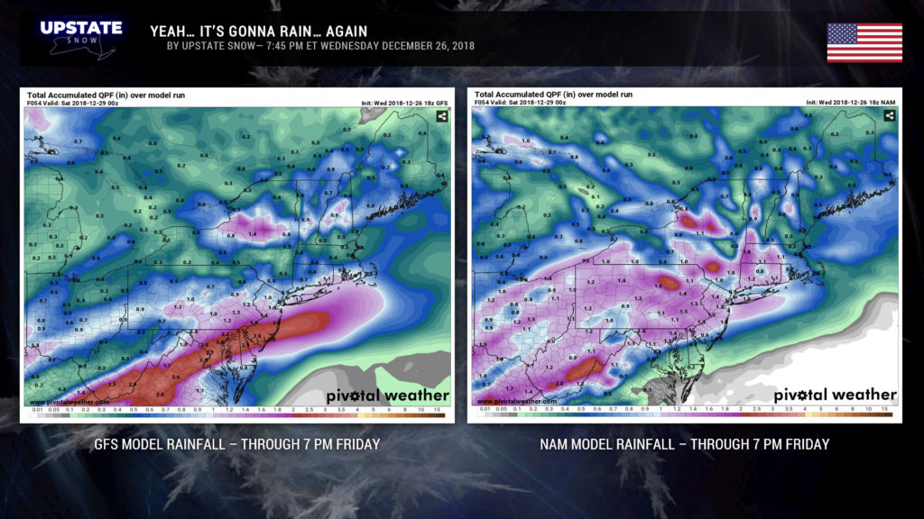
Remember I said we were looking for SOME good news… and that is the forward speed of this system. Therefore rain totals should be kept somewhat in check, but still, a good solid inch of rain is probable from this system. Modeling is a little bit undecided on the actual amounts, but “whatever.” The highest rain totals should be just north of the Thruway where upsloping enhances the precipitation. I posted the GFS and NAM model rain totals… I think the NAM is going a bit aggressive with the upsloping in the Catskills and on the Tug, showing well over 2 inches of rain. I think the GFS is a bit more realistic, and that is in line with Euro model data as well.
As mentioned in the bullet-points graphic, colder air will begin to wrap around after our storm moves north and east. The first cold front should move through Friday night. It’s not going to cool our temperatures very quickly though. The second front crosses Saturday morning-ish from west to east, and colder air does start flowing in. Look for temps to fall during the day. Temps at about 5000 feet will really tumble, which creates a nice instability for a lake response. Unfortunately (because of course) very dry air also wraps in, so what would be a significant LES Saturday night looks to be… not.
As we go to the end of the calendar year, we should experience dry weather on Sunday… perhaps a scattering of snow showers. Models go off the wonk Monday through New Years… waves of low pressure either going to our west/north with milder air and rain…. or low pressure sliding from Ohio across PA and then off the coast with some snow. Ugh. Models are absolutely all over the place, so for now we will just say rain or snow showers “probable” Monday into New Years… but that’ll probably change as we move forward.
Have a great evening folks, and again thank you for supporting our site.

